
While we stayed in Denham, diesel started to run out. After a diesel delivery arrived in town we filled up and explored the Francois Peron National Park. Upon our return from Francois Peron National Park we immediately filled up again as we had one more bucket list items to tick off while in the Shark Bay area.
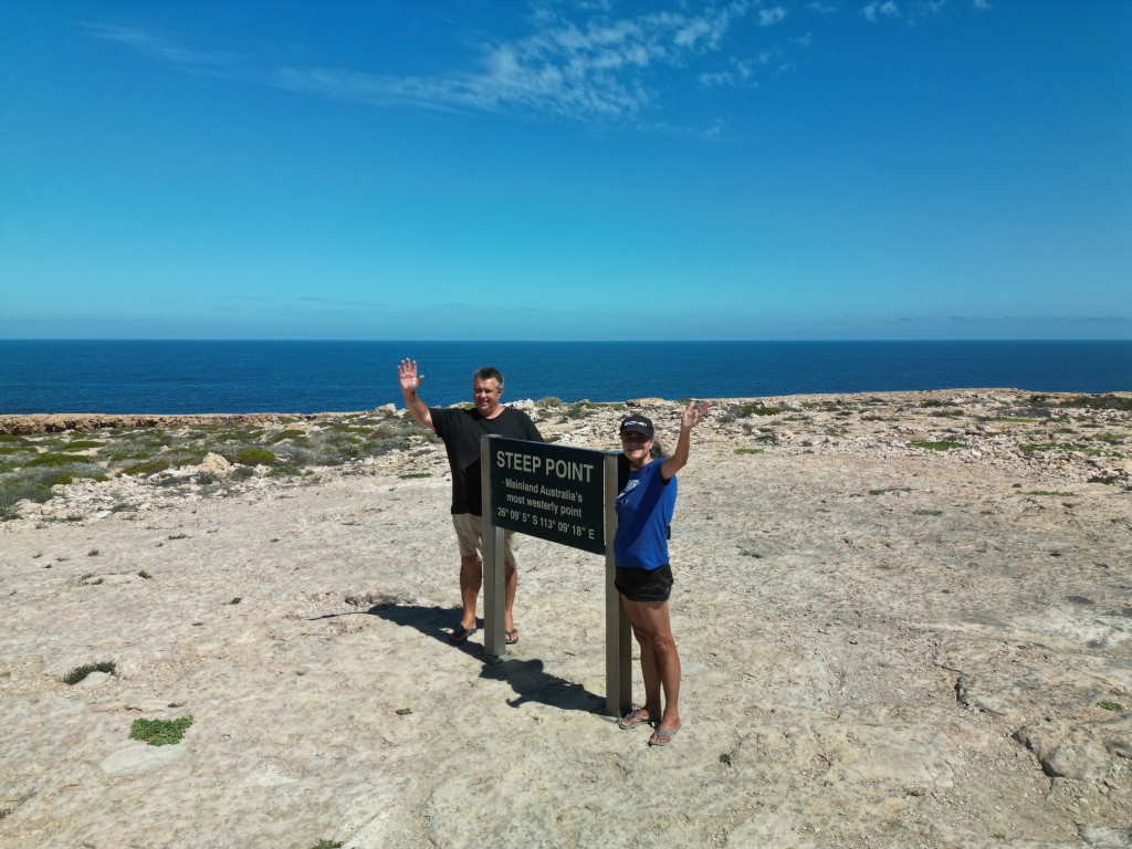
Steep Point is the most westerly point of Australia. Denham was the closest we have ever been to this point. From where we stayed in Denham, it was still quite the trip to get to Steep Point. The 250 km to Steep Point is a combination of bitumen, corrugated dirt roads, soft single lane sand tracks and rocky outcrops. On average it takes 4 hours one way to get to the most westerly point from Denham.
Big off-road caravans are not allowed on the track. With fuel uncertainty and a looming cyclone, we decided to do a day trip to Steep Point. This meant that we had to leave Denham at 5.30 in the morning. Before sunrise, we finished 90 km of bitumen road. After the bitumen road, we stopped to lower our tyre pressures to 25psi before starting the next 120 km stretch of unsealed road.
At the end of the Useless Loop Road (the actual name of the road 🙂 ), we passed the Shark Bay Resources Solar Salt Mine. We stopped again to lower the tyre pressures. This time we went down to 18psi, ready for the Edel Land National Park Track and sand dunes.
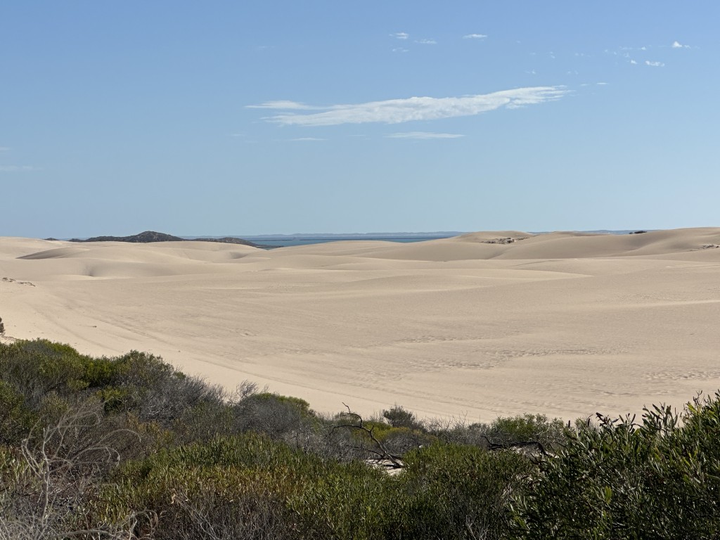
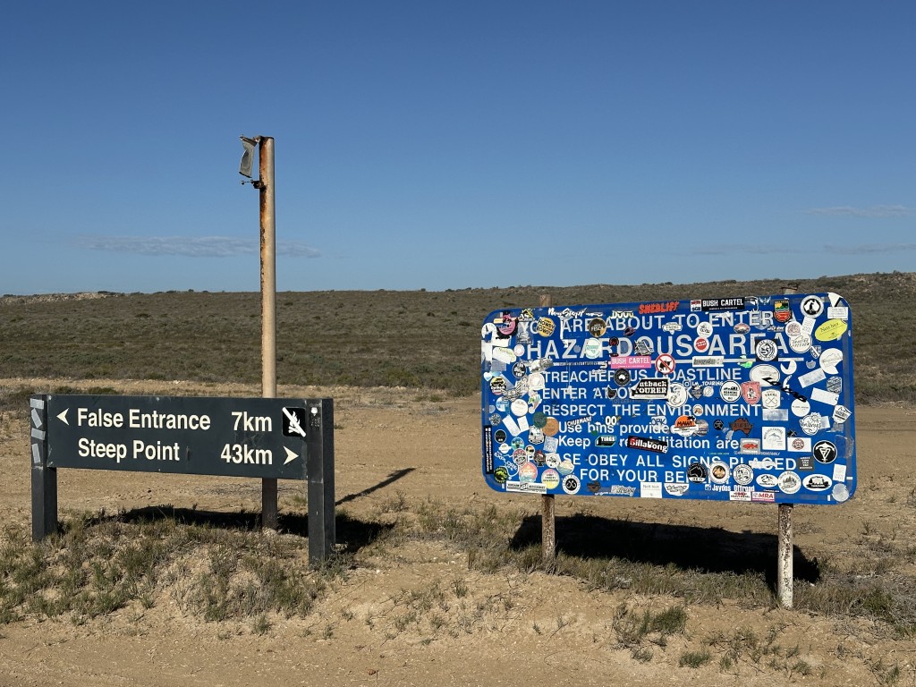
Just after we started the track, we got to a junction. We decided to first go to Steep Point and visit False Entrance on our way back.
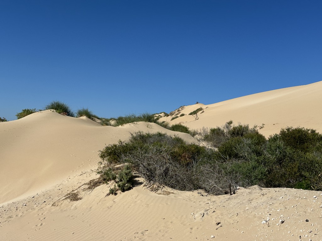
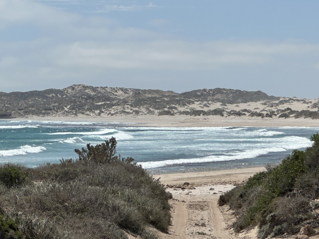
It was not long before the dunes started to increase in size. The most notorious section of the track is referred to as the “washing machine”. This section has a steep soft climb on a single track. Before starting this section, you need to notify other track users of your intention and direction of travel on UHF channel 12. Once you start this section, you are committed and there is no slowing down, stopping or turning back.
After the inland dunes, the road continued on the beach for a straight run to Steep Point campground. This campground allows tents and smaller hybrid setups to camp on the beach. We just passed through.
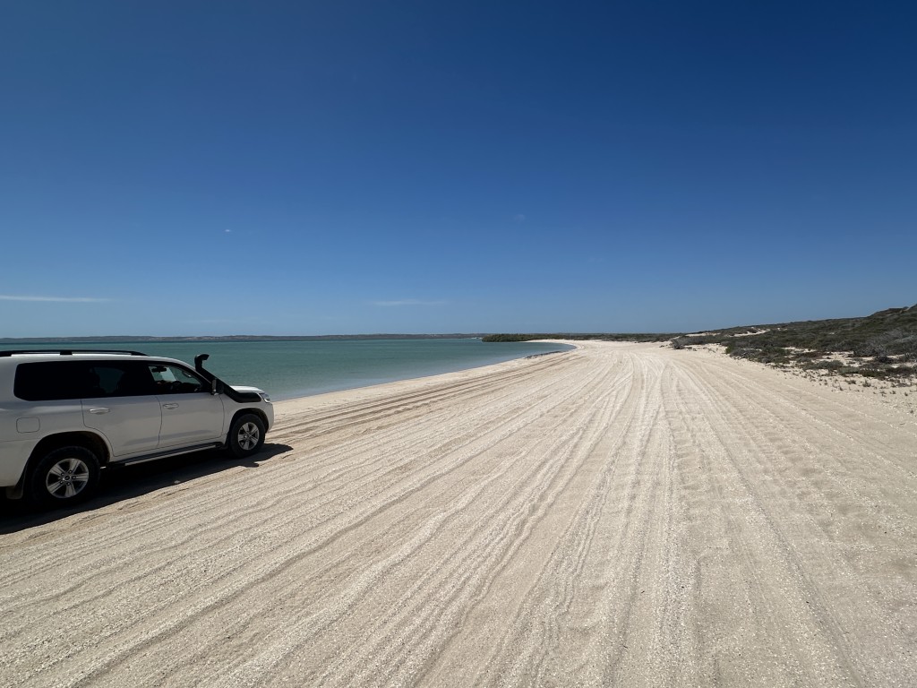
The beach was rock hard, even corrugated in some sections.
The last few kilometres from the campground to Steep Point were on a rocky track. This track took us to the point.
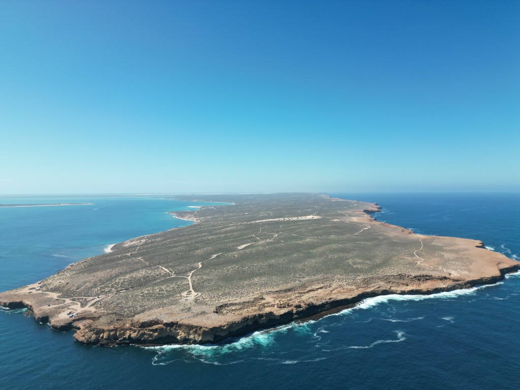
At long last we arrived at Steep Point. Getting to Steep Point felt like an achievement. With the fuel and threatening cyclone, we have almost accepted that we would not be able to get this far. After a few hours of rough 4X4 tracks it was great to stand on the cliff of the most westerly point of Australia.
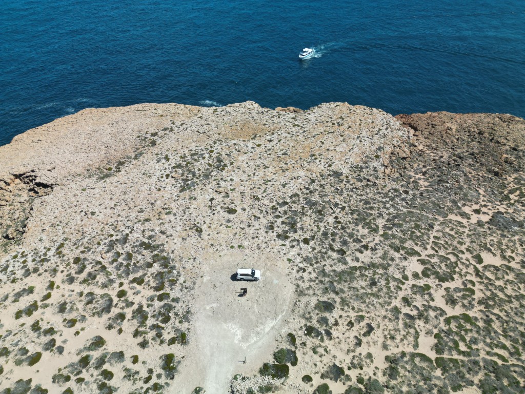
We have visited the most eastern point at Byron Bay in 2023. We ticked of the most southern point of Australia during our 2024 Tasmania trip. Also in 2024, we went back on the mainland and drove through the centre on our way to Uluru. From Uluru we went north to Cape York, the most northern point. Steep Point felt like an achievement as finally we ticked off the most western point. Given the scarcity of fuel and the challenging road, we were initially reluctant to drive to Steep Point. Looking back, we are so happy that we did.

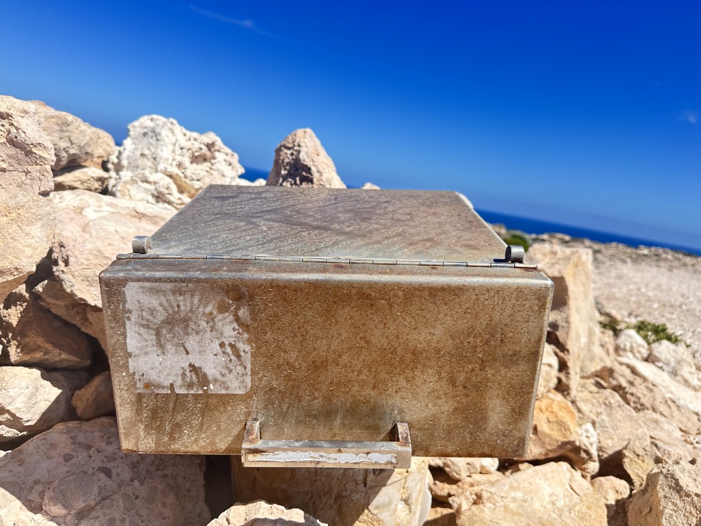
Steep Point has a visitors book in a metal container.
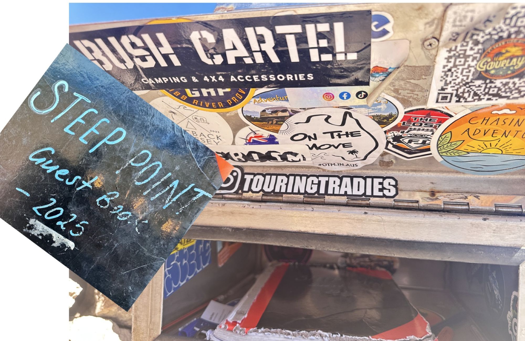
Inside the container we found the 2025 (previous year’s) book. Gauging by the book, not too many visitors make it to this remote point.
After approximately an hour at Steep Point, we took the southern track to Zuytdorp Cliffs.
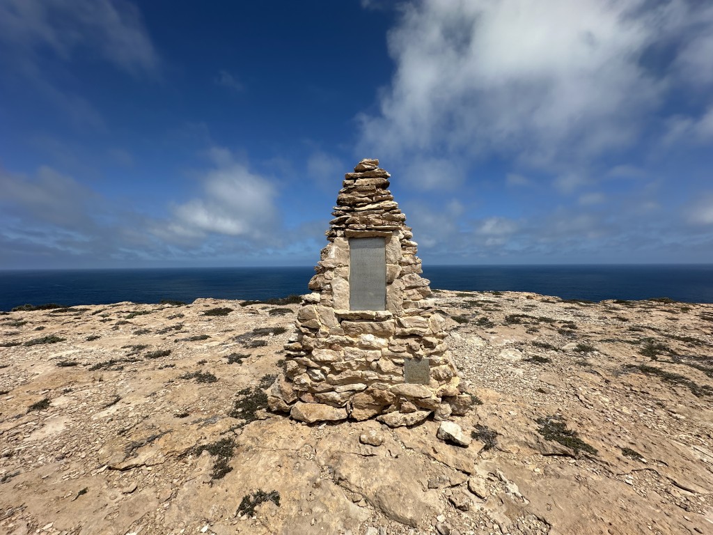
The Nor 6 Memorial near Zuytdorp Cliffs was built in memory of the Nor 6 prawn trawler that got shipwrecked off this coast in 1963. It was the trawler’s maiden voyage between Fremantle and Shark Bay. Three crew members were lost at sea while the captain made it to land 14 days later on a floating esky converted into a raft.
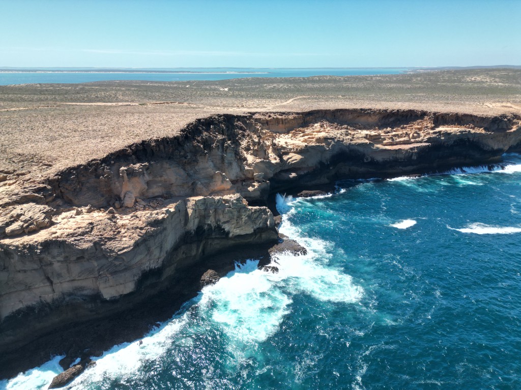
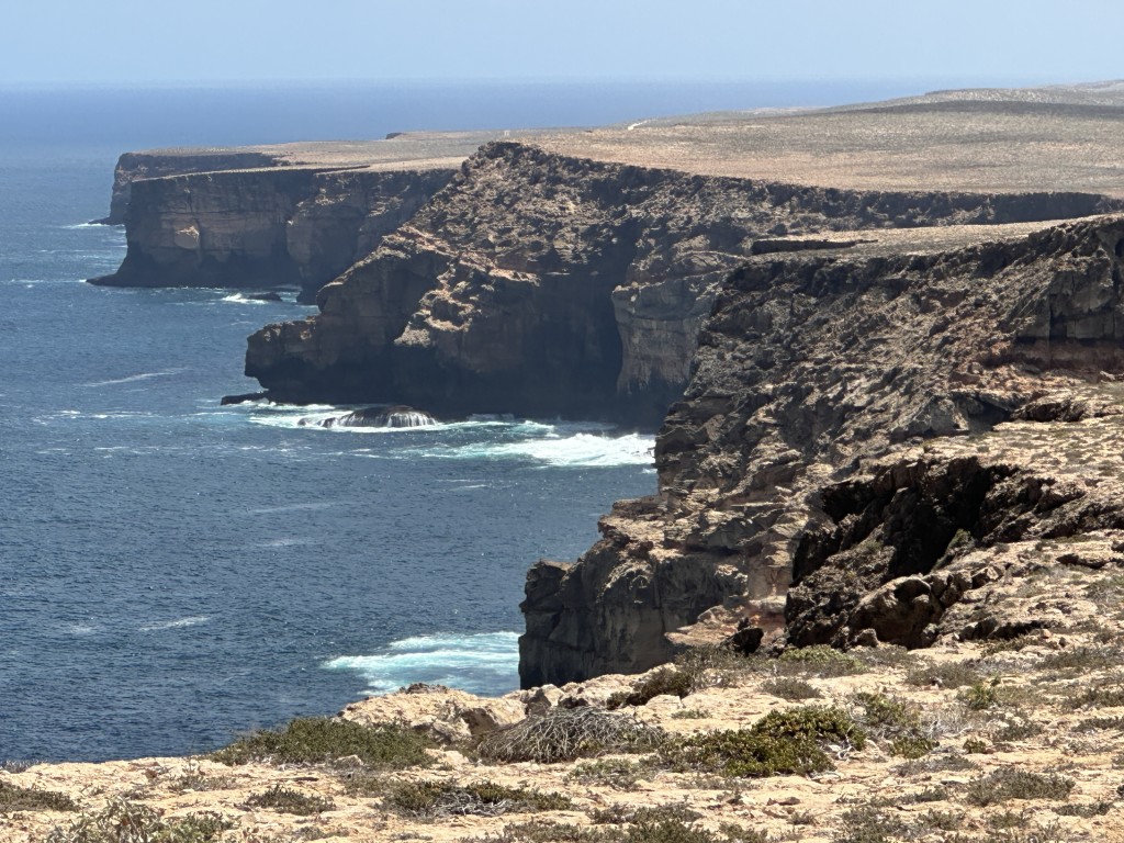
We also stopped at Elephant Rock Lookout and then the jagged tamala limestone rock formations near Zuytdorp Cliffs.
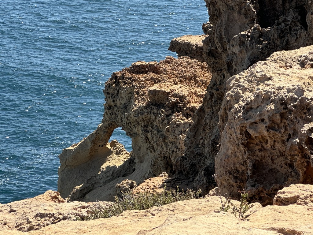
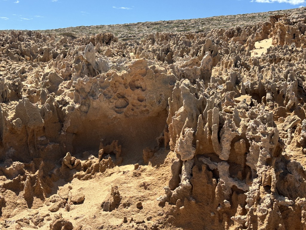
After we followed the cliffs for a few kilometres we turned around as it was way past mid-day and we still had about 6 hours ahead of us, including a few stops.
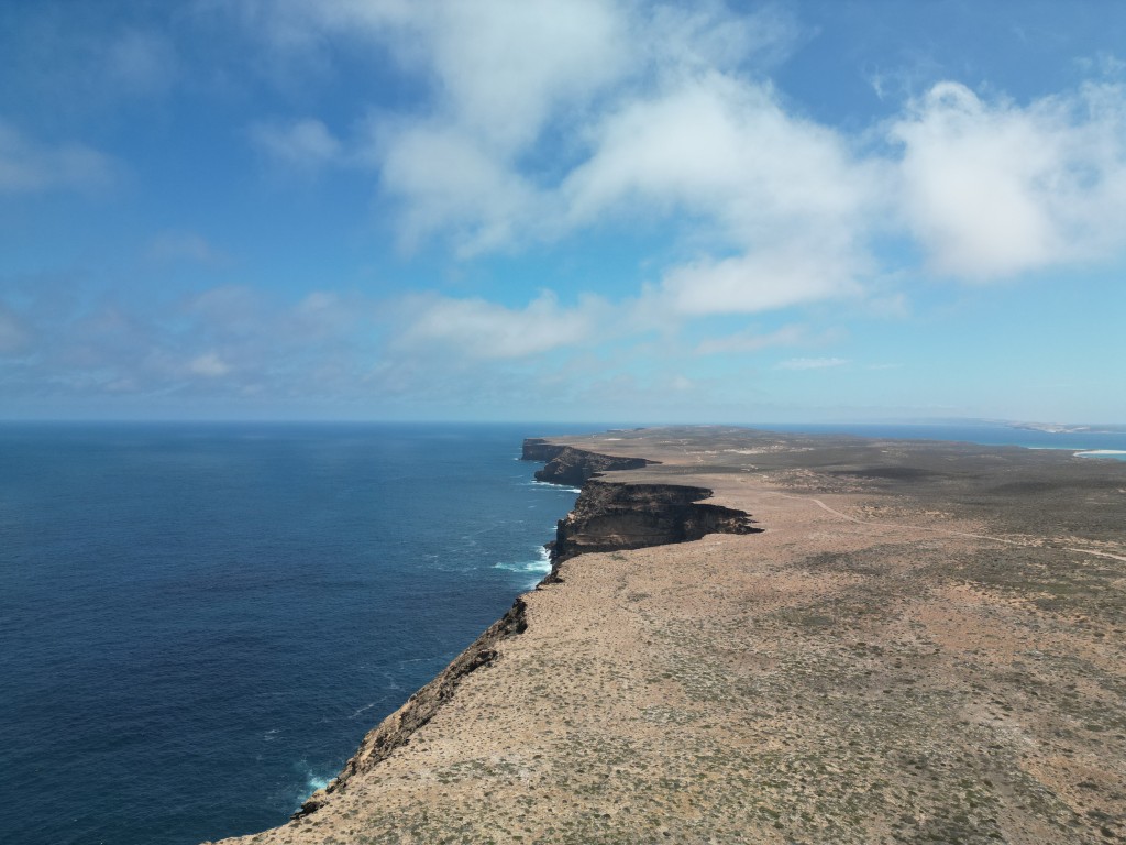
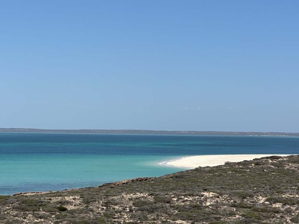
As we descended from Steep Point, we passed the white sandy beaches our way out.
After some beach driving and crossing the dunes we got back to the junction to False Entrance. The rock formations and cliffs were worth the detour.
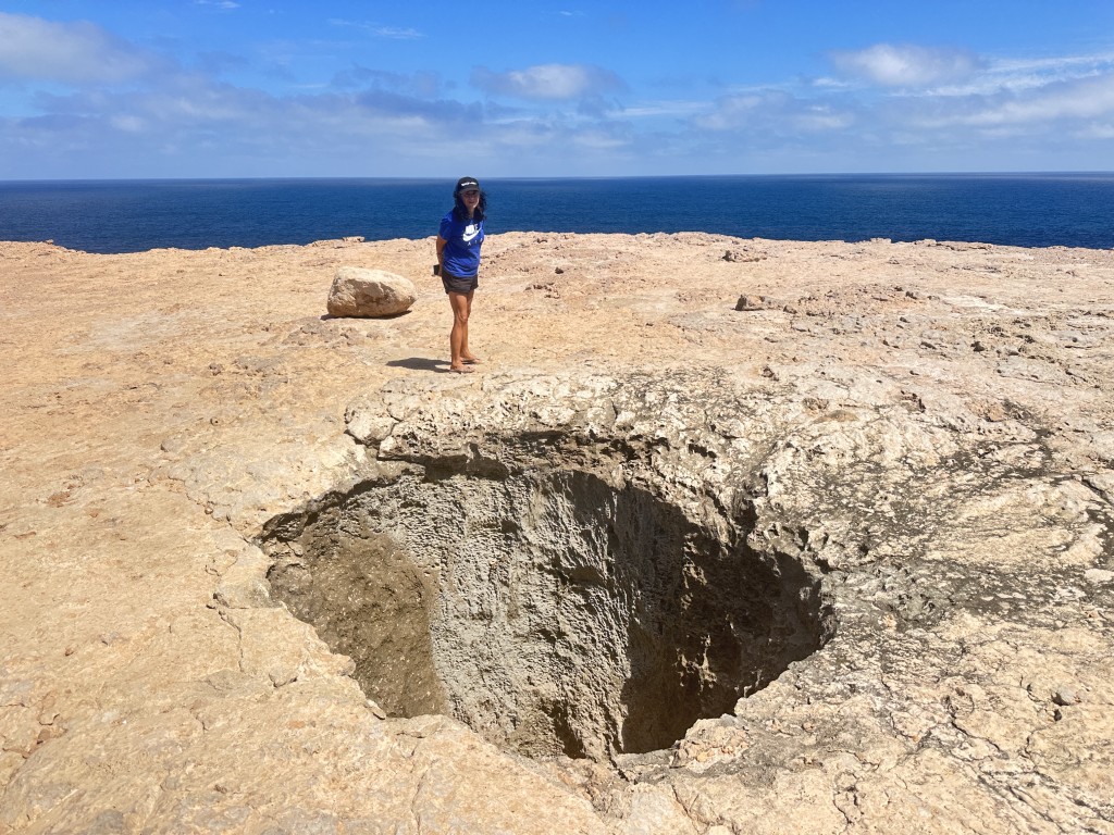
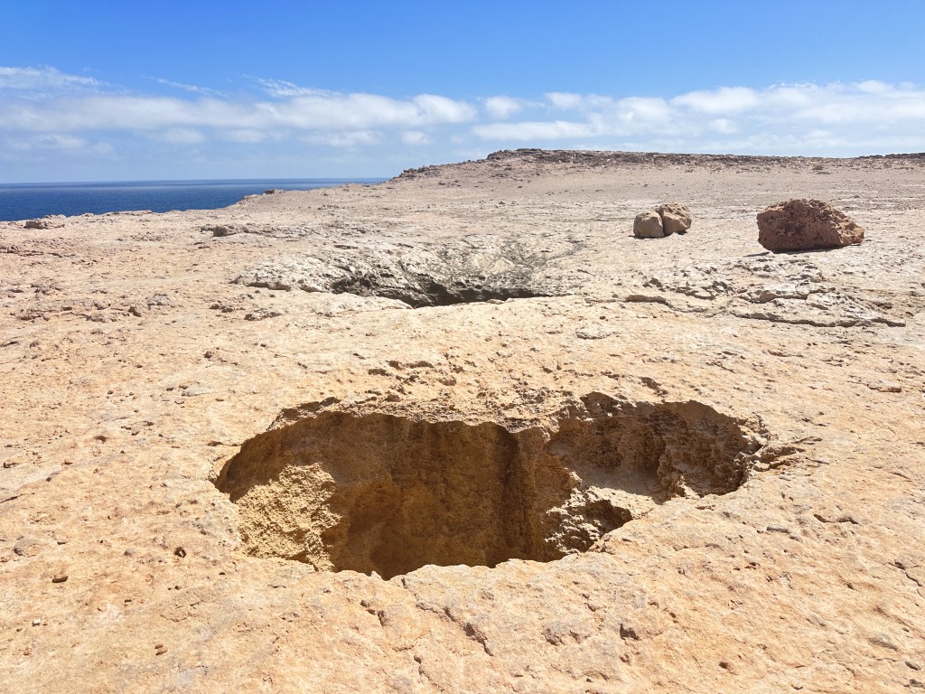
The massive blow holes at False Entrance was an added bonus. These were angry buggers and you had to hold on to your cap.
We got back to Denham at 8pm. On the way back to the caravan, we stopped at the service station and filled up with diesel. We drove more than 500 km for the day and used 70 L of diesel.
We really enjoyed the Shark Bay area. With the fuel becoming scarcer we decided to extend our stay at the holiday park with two weeks. We agreed that if we had to get stuck without fuel, we could not think of a better place.
The night after we extended our stay we got a call from reception. We were given 24 hours to evacuate Shark Bay as Cyclone Narelle was predicted to make landfall very close to Shark Bay. The predictions at the time was that it may become category 4 cyclone with winds exceeding 200 km/h.
Based on the advice to travellers, authorities proposed a few options to avoid the path of the cyclone. The first option was to head 1000 km north-west to Tom Price. The second option was the Coburn-Hamlin dirt road, risking the flooding of the Gascoyne River. The final option was 800 km south-east to Mount Magnet. We decided to take the last option.
We started packing in the dark, getting ready for an early exit the next morning. With the car and jerry cans being filled to the brim and after a quick shop at the Shark Bay general store for a few groceries, we left. With diesel starting to run out in remote towns we decided to double down with a few longer travel days, filling up wherever diesel was available.
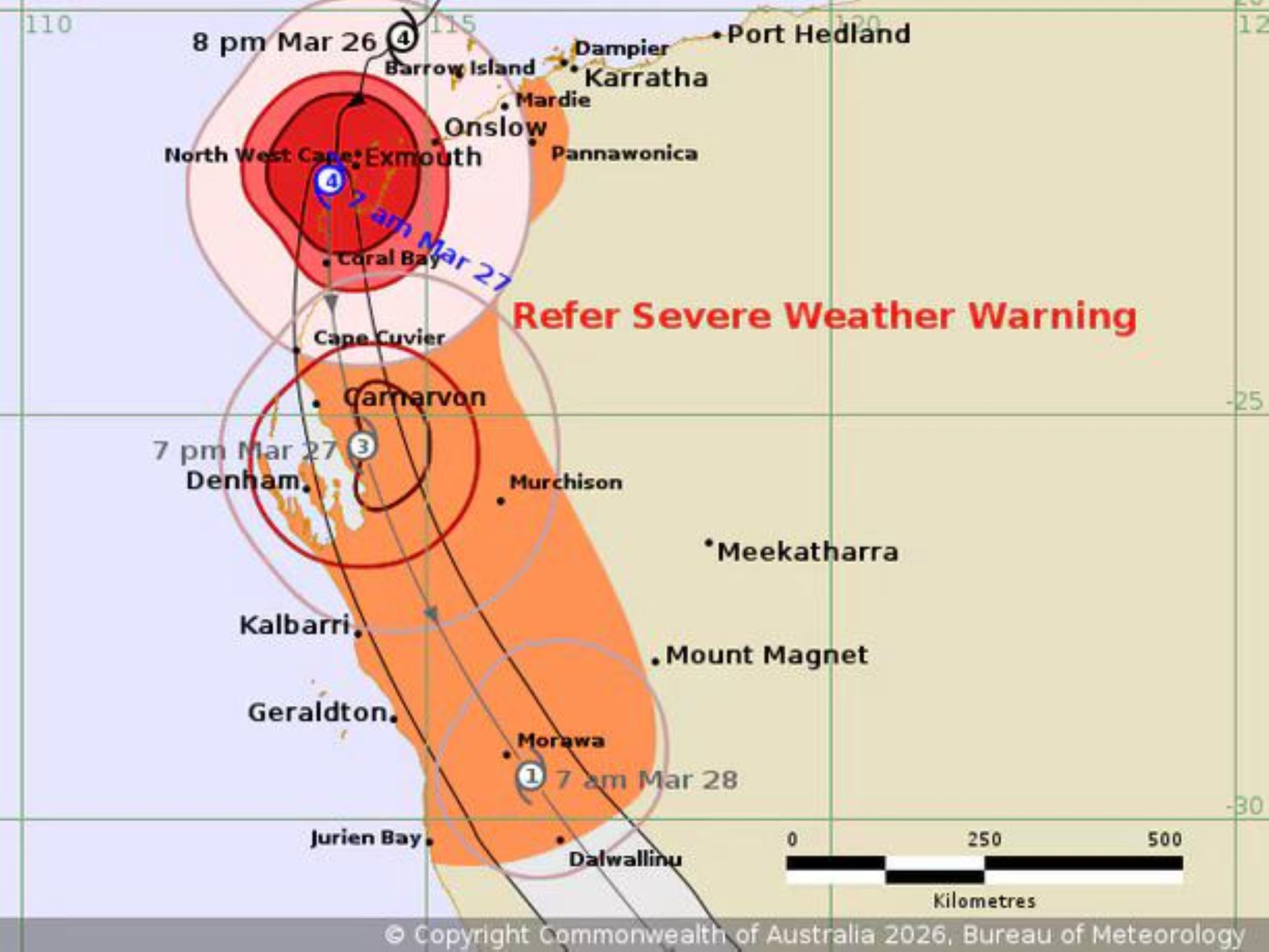
We drove 550 km on the first day as we had reasonable weather conditions. On the way we took breaks at a few remote towns. We stopped for lunch at the entrance of Mullewa.
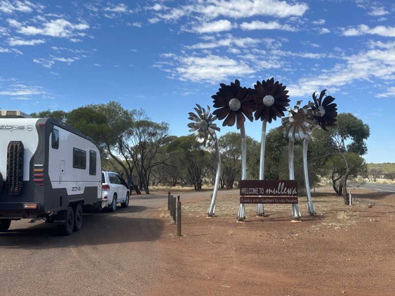
“Our Lady of Mount Carmel Church” in Mullewa caught our eye and we veered from the main road for a quick stop.
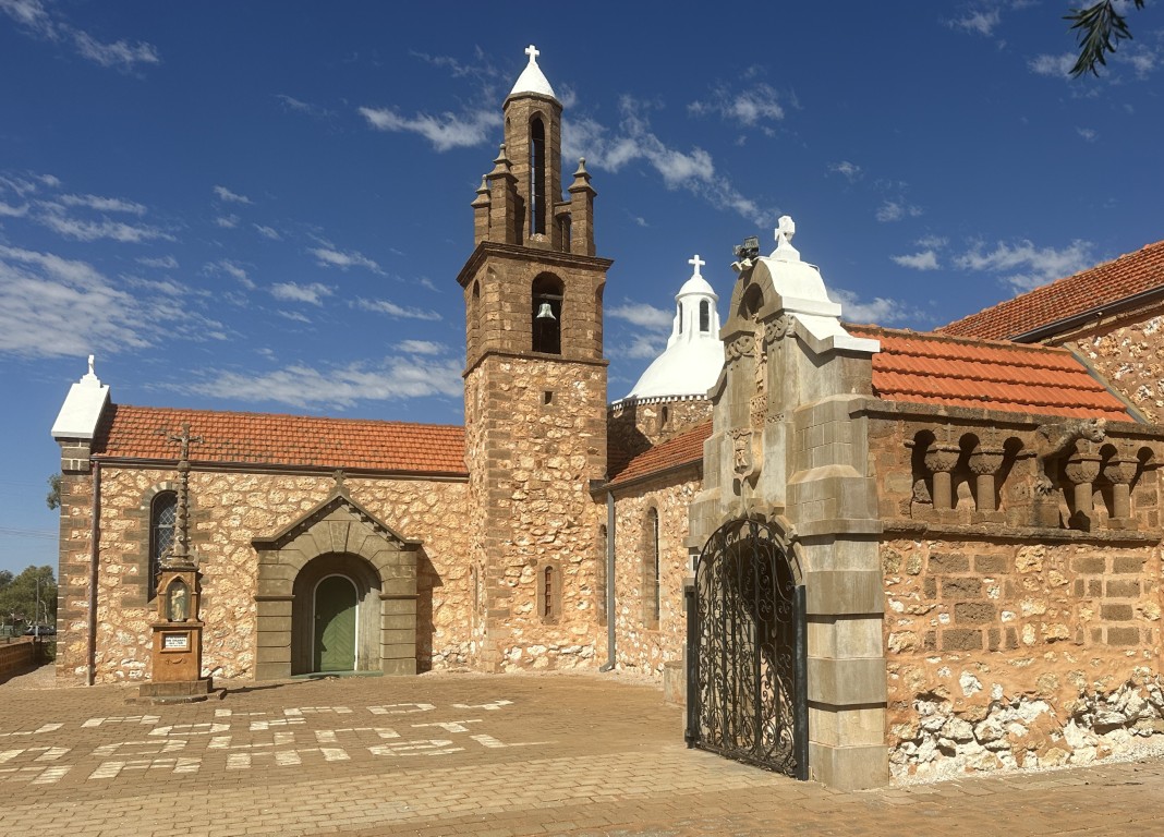
We stopped just east of Mullewa at a roadside gravel pit leaving the caravan hooked up to the car for an early start the next morning. We woke up to terrible driving conditions on State Route 123 with constant rain and low visibility. In addition to the weather, this route records between 100 and 300 road trains per day. The wet weather was setting in and we had a few water crossings on the main road.
Mount Magnet was our target to get away from the cyclone. It was great to reach Mount Magnet to take a break. When we filled up, we encountered the first restrictions on the filling of jerry cans.
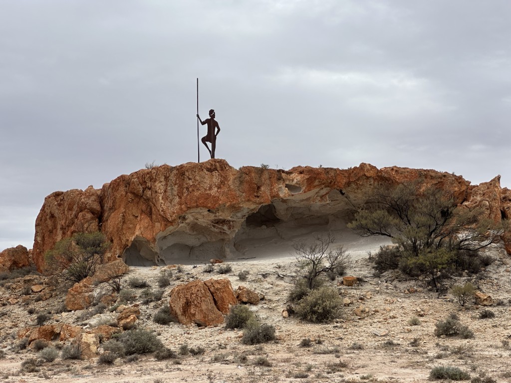
After filling up, we visited the rock formations dubbed at The Granites.
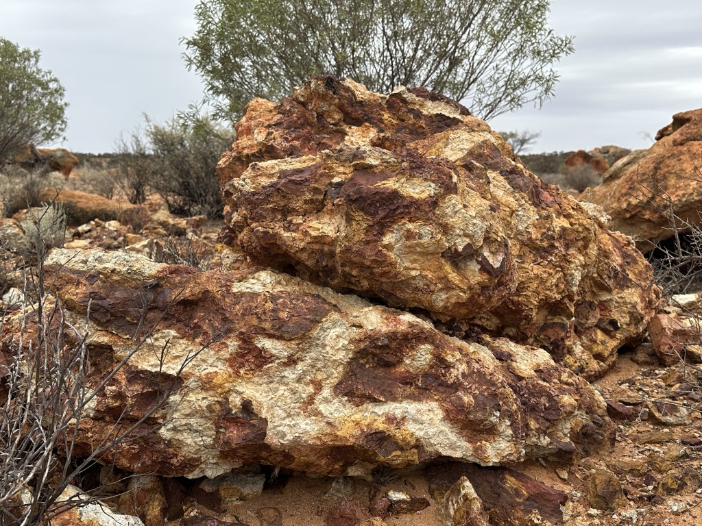
The silhouette of an Aboriginal Hunter is the main attraction at the Granites.
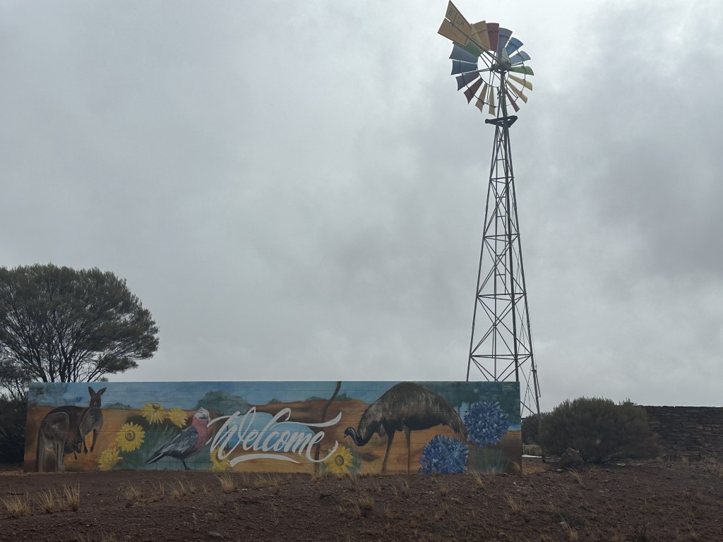
Our next stop was the small town of Sandstone. A windmill and mural welcomes you to town.
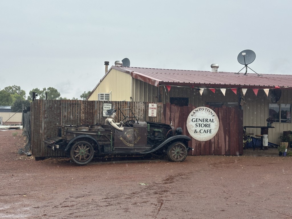
After filling up, we took a quick walk through the main road and visited the General Store & Café.
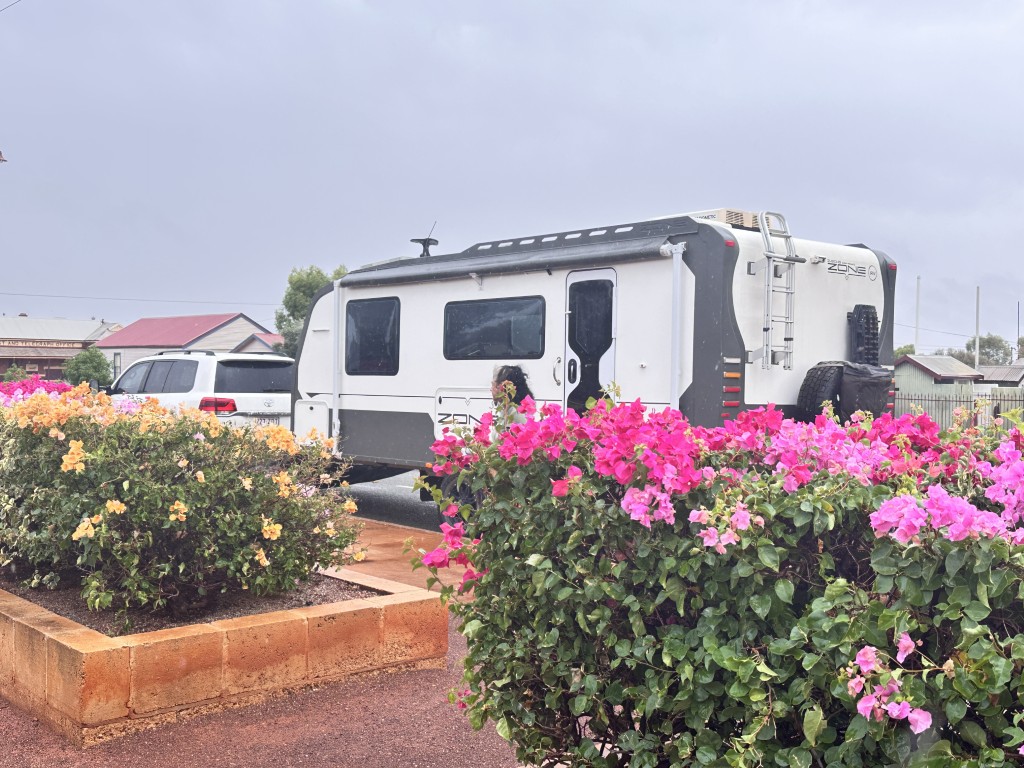
The main street was lined with colourful blooming bougainvillea.
On the way out of Sandstone we took a muddy dirt road, slopping and sliding to the London Bridge, with the caravan in tow.
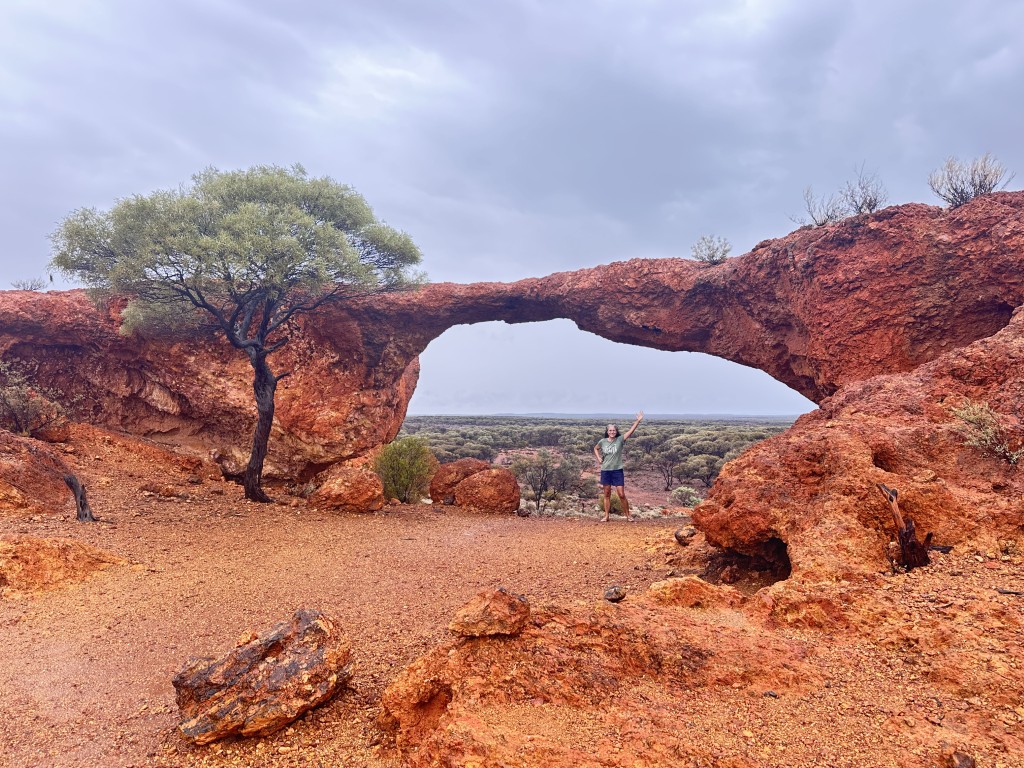
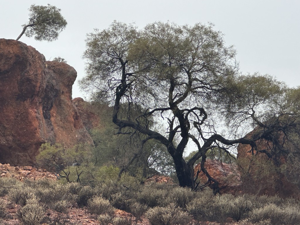
The road to London Bridge was lined with beautiful rocks and vegetation. The mud stuck to the car, caravan and even the stone stomper between the car and caravan. The muddy stone stomper pulled out the Anderson plug which we dragged on the road to our next stop.
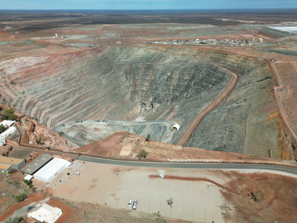
After a 500 km drive for the day we arrived at Leonora. We were well out of the forecasted track of Cyclone Narelle and decided to settle down for a few days. We camped next to the Gwalia Open Pit Gold Mine. This lucrative mine started in 1896. One year later a young American mining engineer Herbert Hoover was appointed as mine manager. In later life, Herbert became the 31st president of the United States of America in 1929.
The mine closed in 1963. In 1983 the opencut mine reopened and in 2008 underground mining resumed.
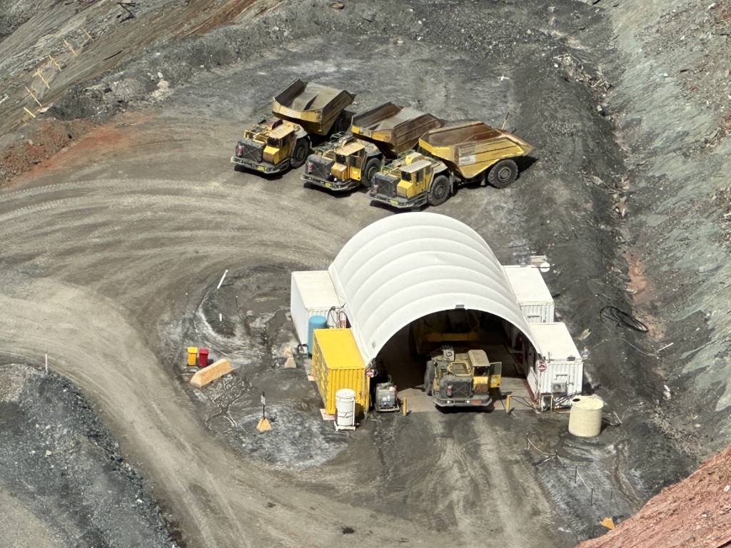
The Epiroc Mine trucks MT65 S are the real stars bringing gold-bearing ore and waste rock to the surface. Apparently you are extremely lucky to see these trucks out in the open. Five trucks came up for maintenance when we were there.
We spent a morning at the the Gwalia Museum.
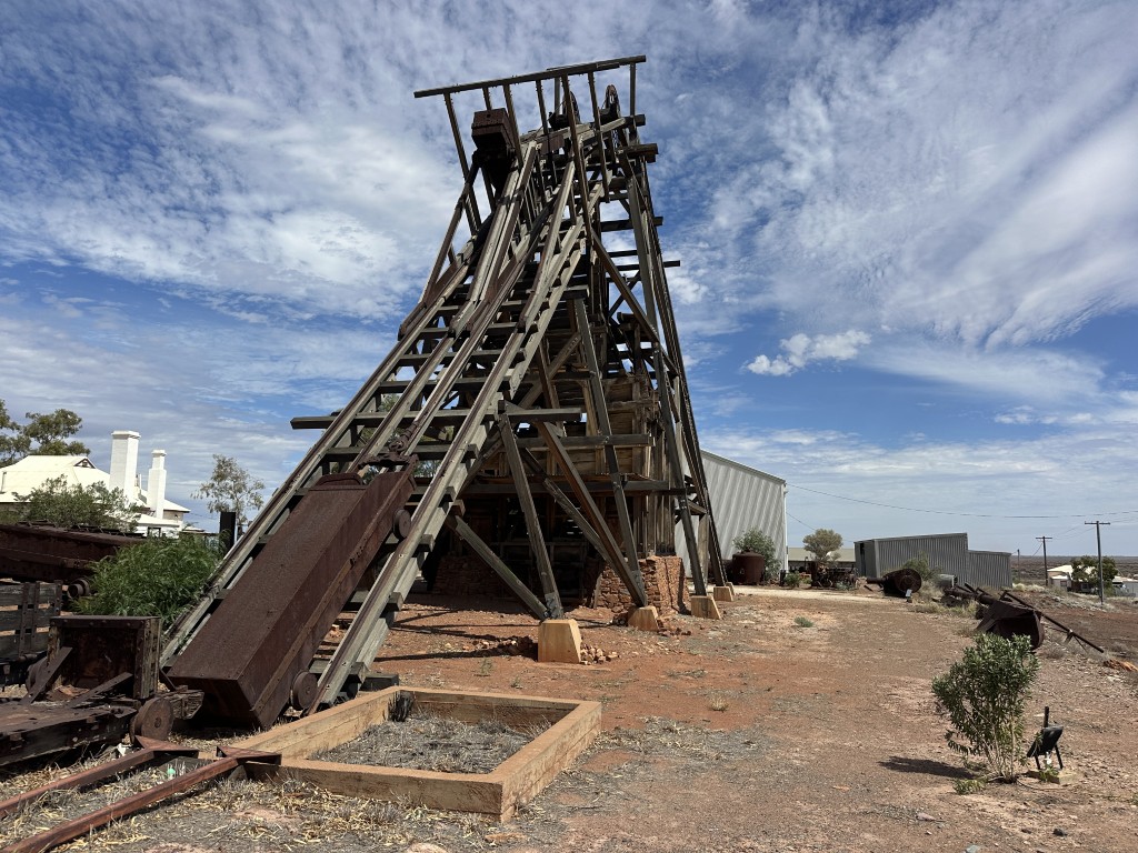
The historic Sons of Gwalia wooden inclined headframe is the centre piece of the Gwalia Museum, and the last remaining example of this type of headframe in Australia.
There was also a magnitude of information on the Clydesdale horses that were sent down the mine shafts with the wooden headframe.
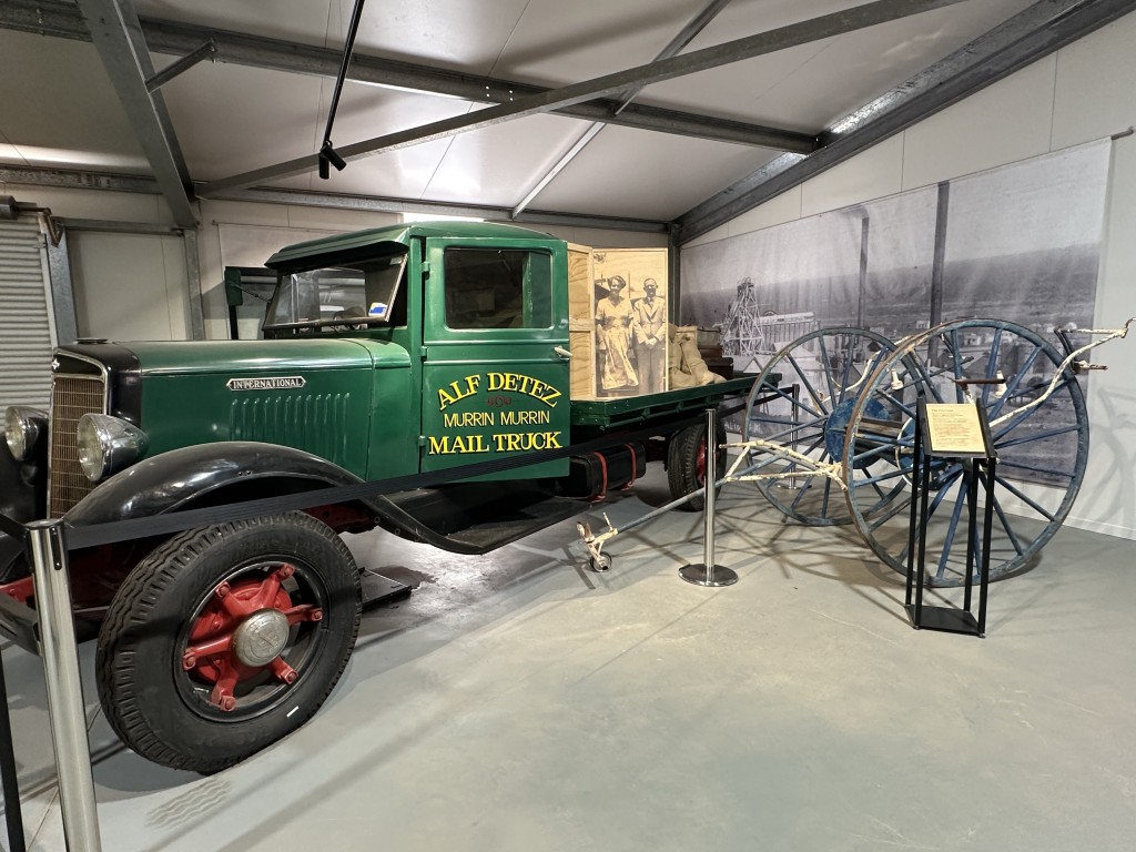
The museum has various buildings and sheds with some original and some restored exhibits. This 1935 International C-Series mail truck, used by Alf Detez around Murrin Murrin and Leonora has been meticulously restored.
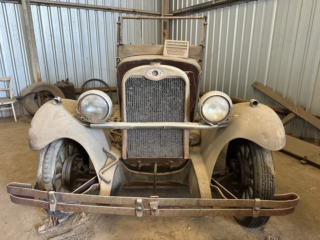
In one of the sheds we found this original mid-1920s Studebaker.
Great photos and historic mining artifacts were on display at the Gwalia Museum.
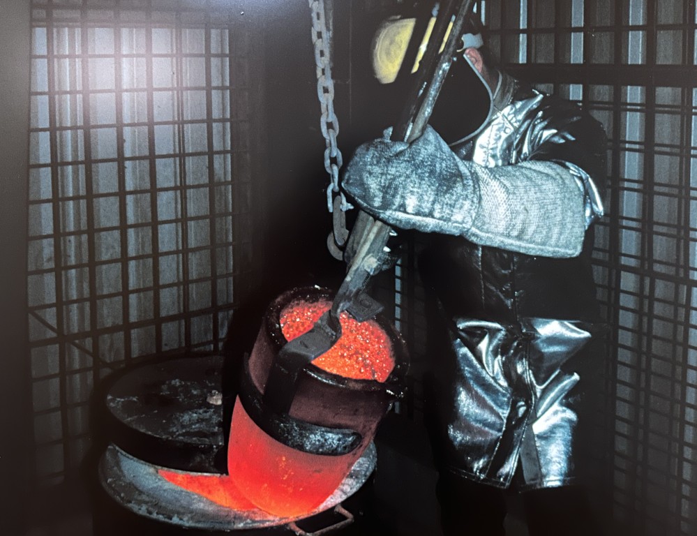
The most intriguing thing about Gwalia mine is the historic precinct, better known as the ghost town.
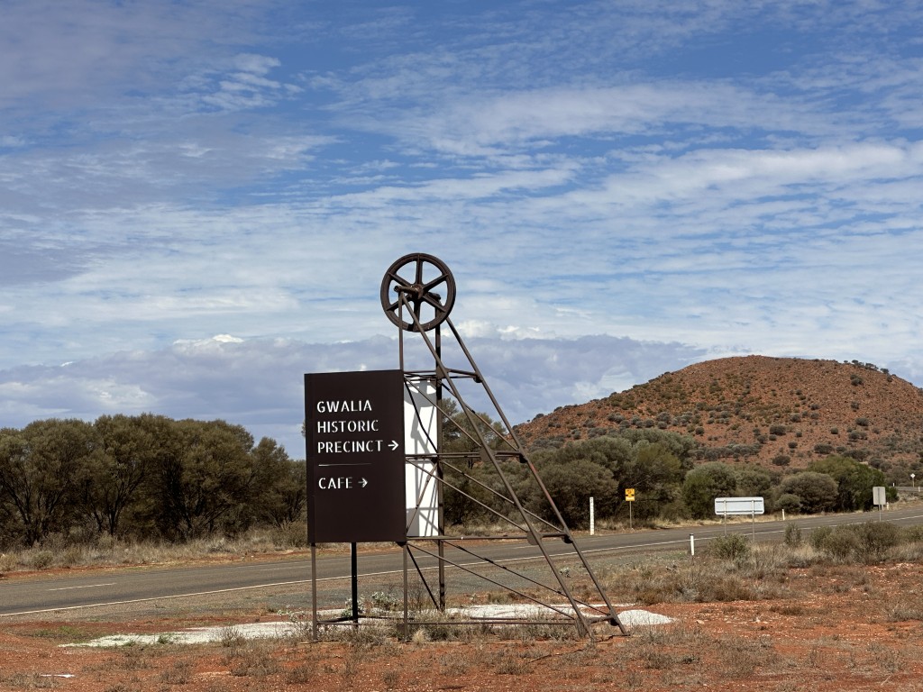
The precinct has about 20 miners cottages of which 12 are open and accessible to the public. It feels earie walking through a settlement where it seems like inhabitants just walked away from it. The cottages were falling in disrepair until the adoption of a cottage initiative, allowing volunteers to adopt, maintain and restore a cottage.
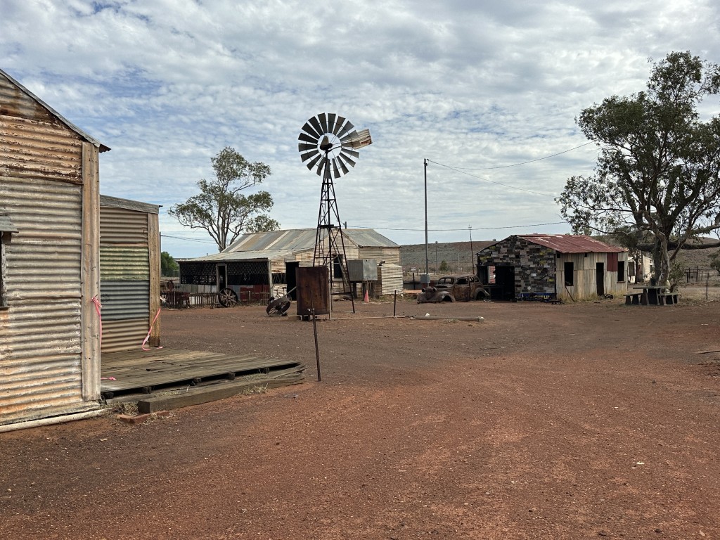
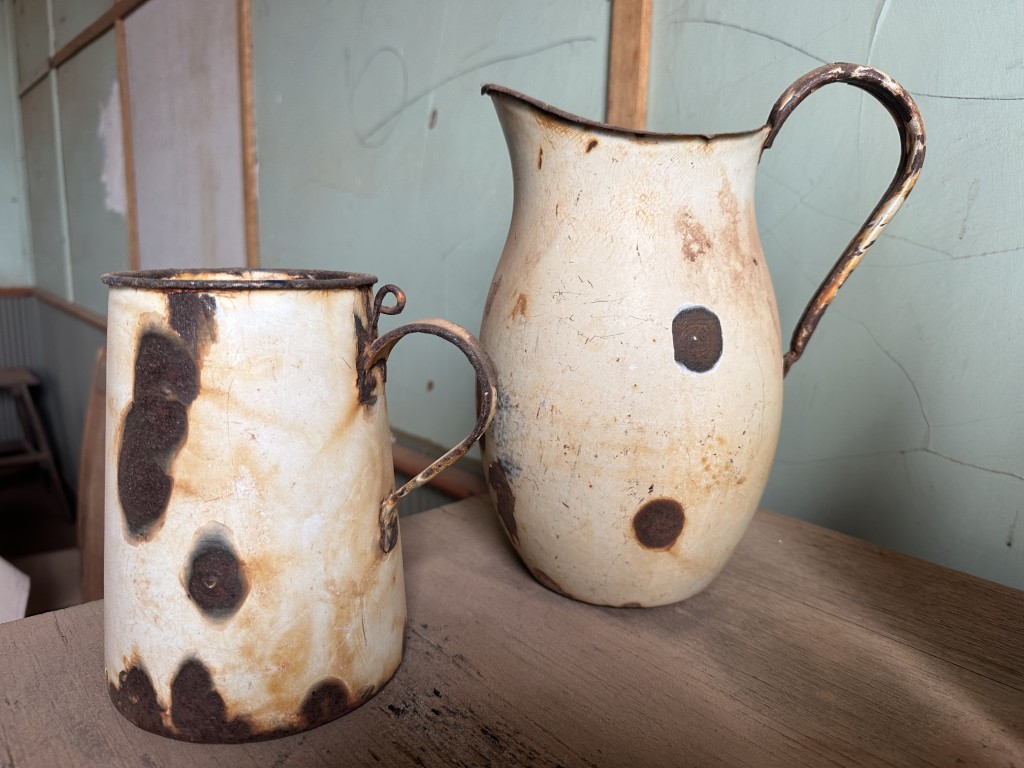
Many of the old artefacts were left in the kitchens.
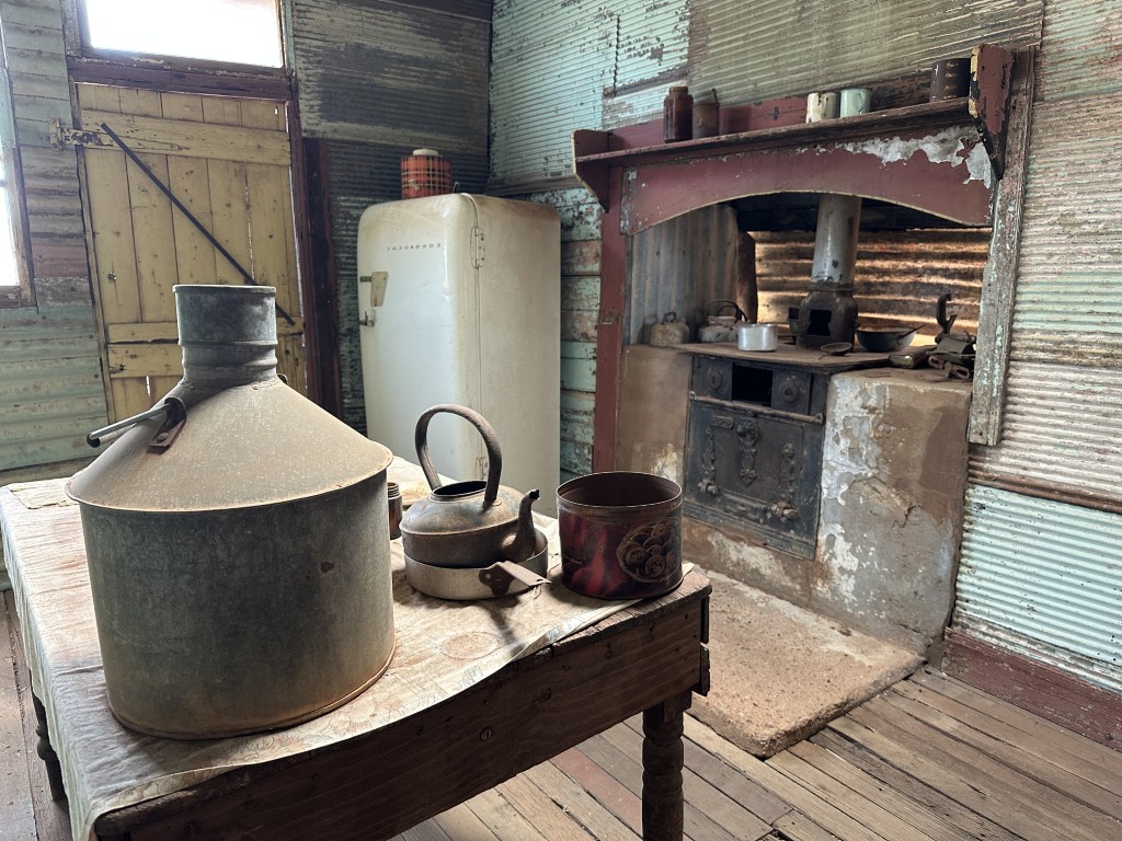
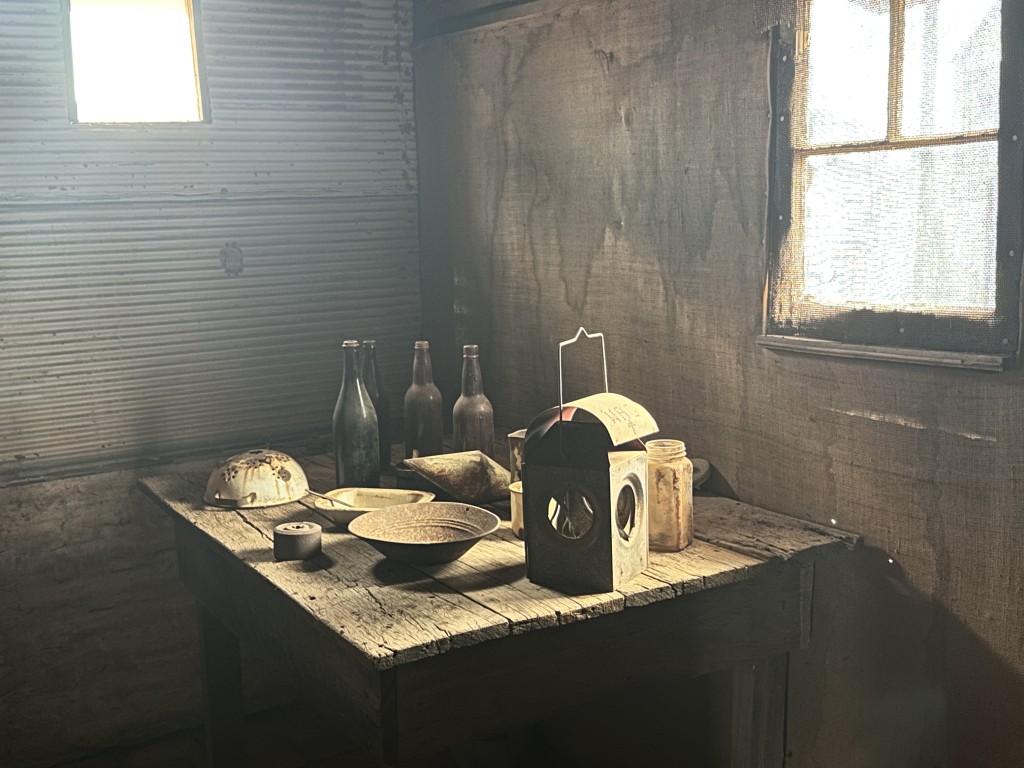
The only thing missing on this rustic old table, is a cheese platter.
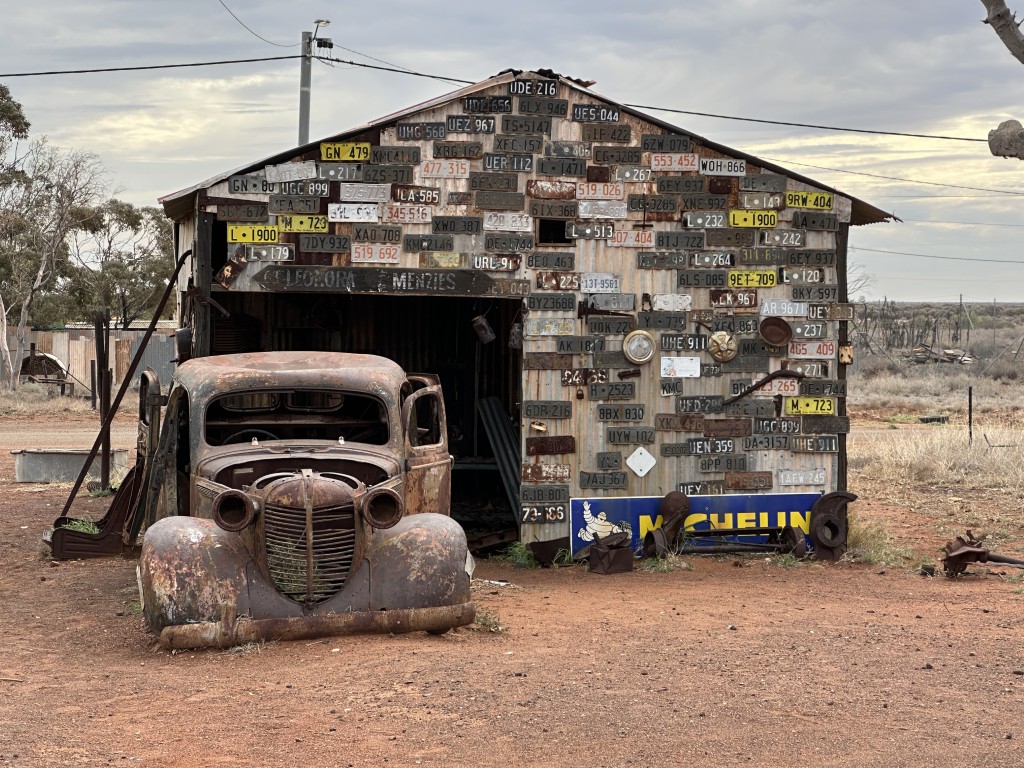
The mechanic’s workshop in Gwalia’s ghost town is also known as the Licence Plate Shed. Inside the shed is an array of old tools and jacks on display on the old work benches.
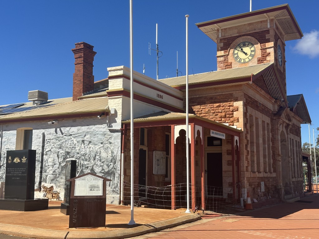
Menzies is a small town in the Goldfields-Esperance region established during the gold boom. The town is known for its clockless Town Hall and Lake Ballard.
The town hall was build in 1896. The building was rebuild and the clock was ordered from England. According to legend the original clock is at the bottom of the ocean after the ship transporting it from England, sank in 1905.
The current clock was installed on New Year’s Eve 2000. No Y2K problems were expected for this clock. 😉
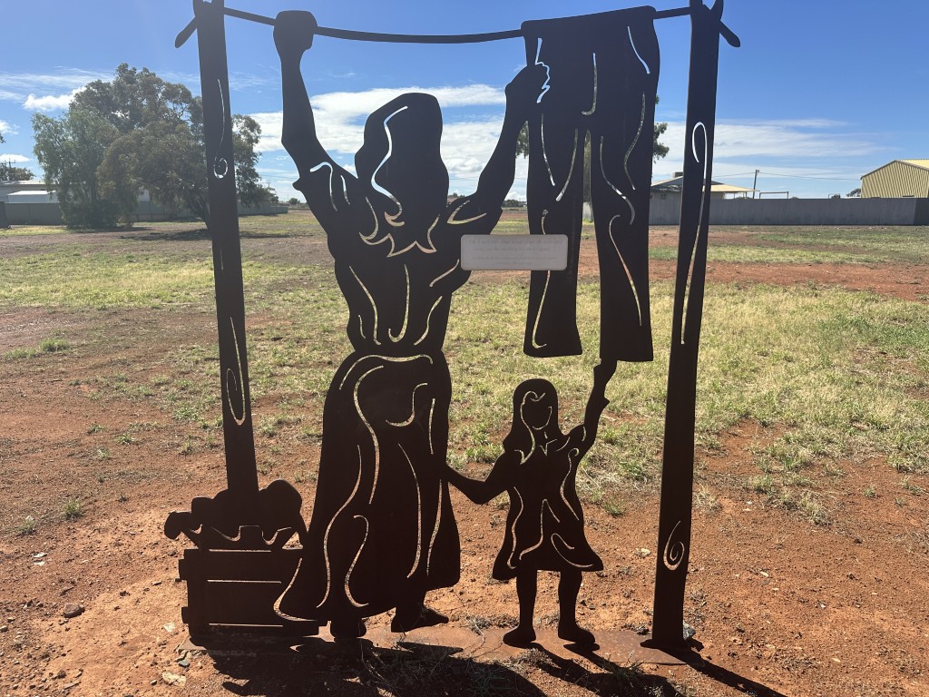
Metal artwork has been installed throughout the town. The mother and child silhouette is part of the Historic Street Art Trail in the main street of the town.
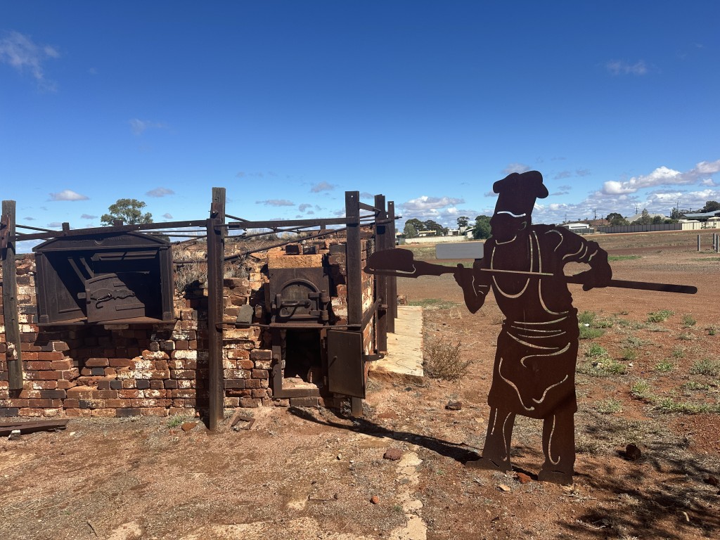
On our way out to Lake Ballard, we passed the silhouette art showing the Wells Bakery Oven in the Goldfields.
We were keen to visit Lake Ballard.
We did consider visiting it during our last trip through Kalgoorlie. The combination of a two hour drive from Kalgoorlie and not being able to complete the wheatbelt, influenced our decision to skip Lake Ballard for a future trip. We did not expect the “future trip” would be a few months later.
This massive ephemeral salt lake has a free camp from where you can explore the world’s largest outdoor art gallery. British artist Antony Gormley installed 51 steel sculptures around the Central Mound. To visit all 51 sculptures is a 10km walk in the lake bed.
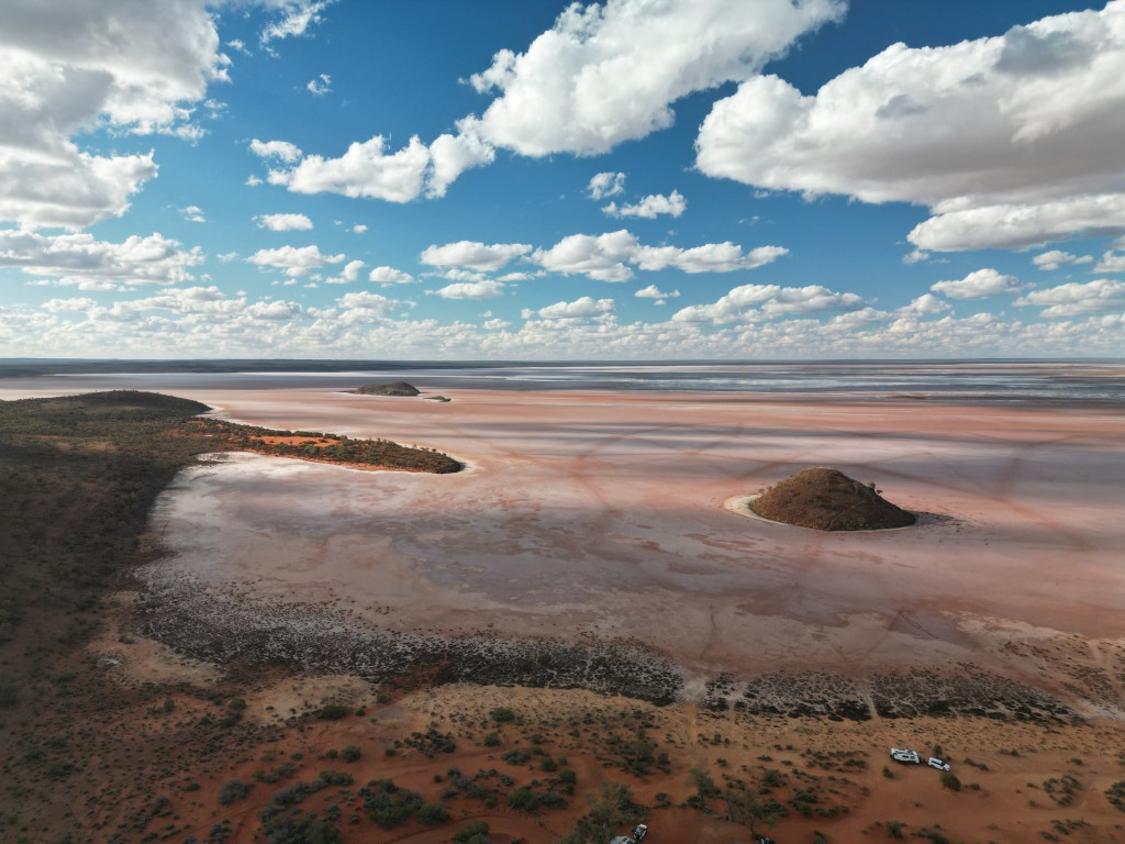
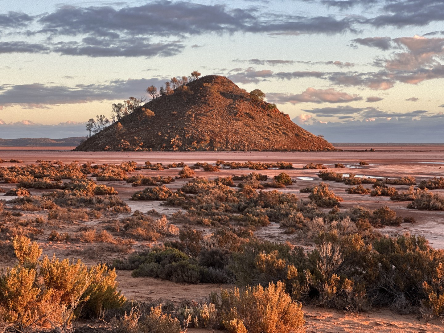
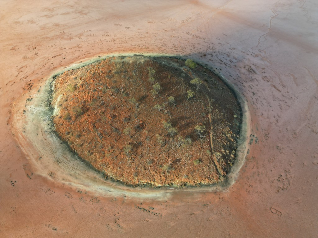
In the middle of the lake is the central mound with a walking track taking you to the top of the mound.
Around lake Ballard are many smaller ephemeral salt bed lakes amongst the desert-like sand dunes.
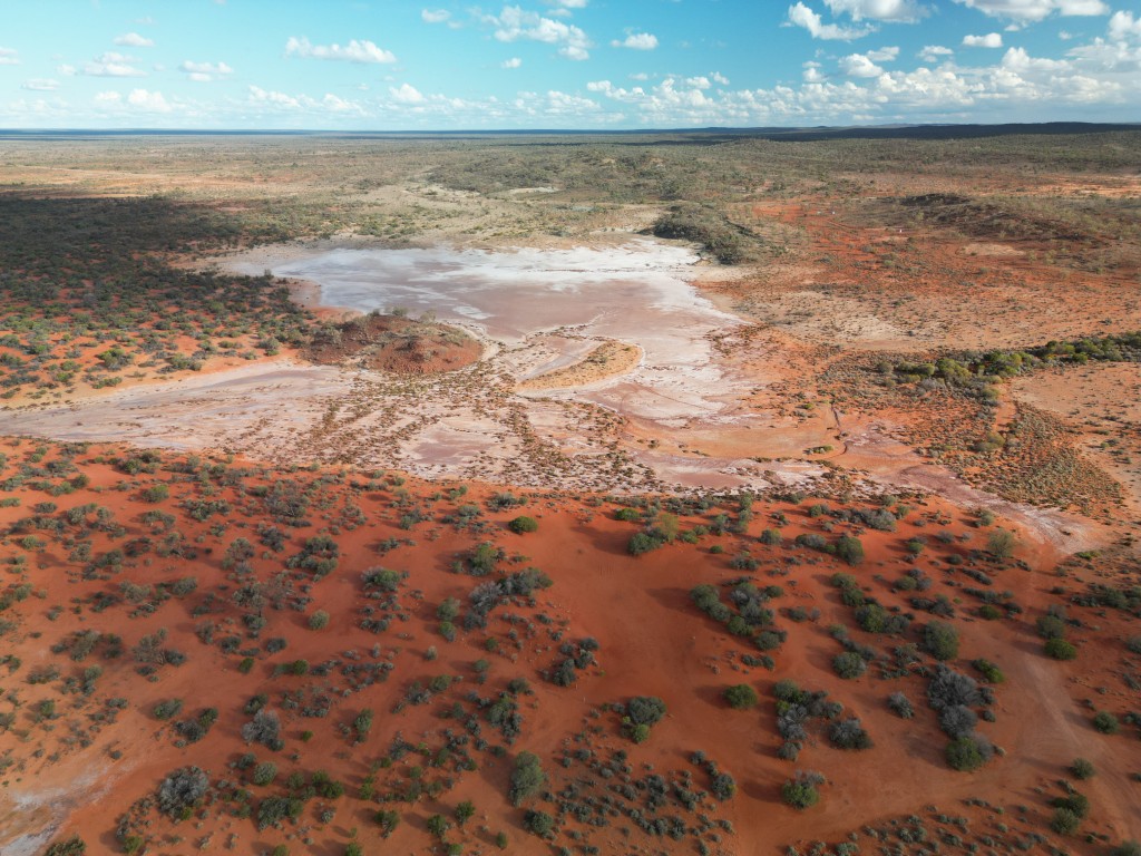
When we were at Lake Ballard it was wet, making it impossible to get to all the sculptures. Even walking to the closest sculpture caked our shoes with mud.
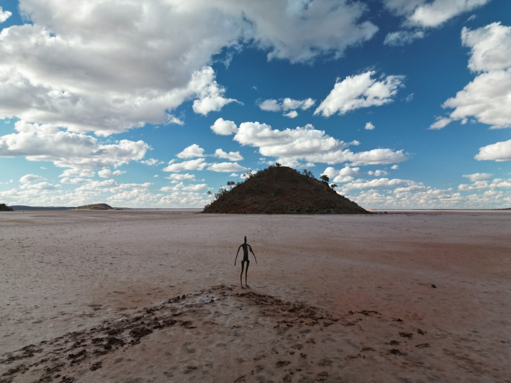
The Central Mound at Lake Ballard was surrounded by muddy puddles.
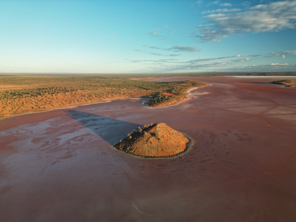
What an incredible campsite this was.
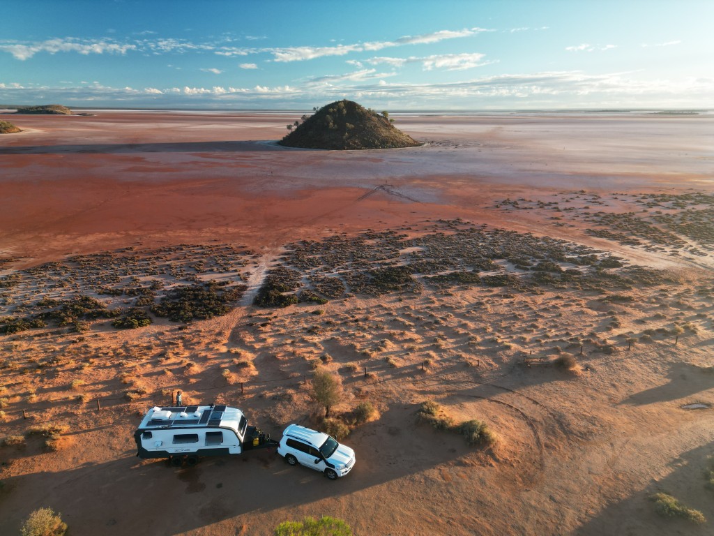
The day before we left Lake Ballard, it started to dry and we could visit a few sculptures.
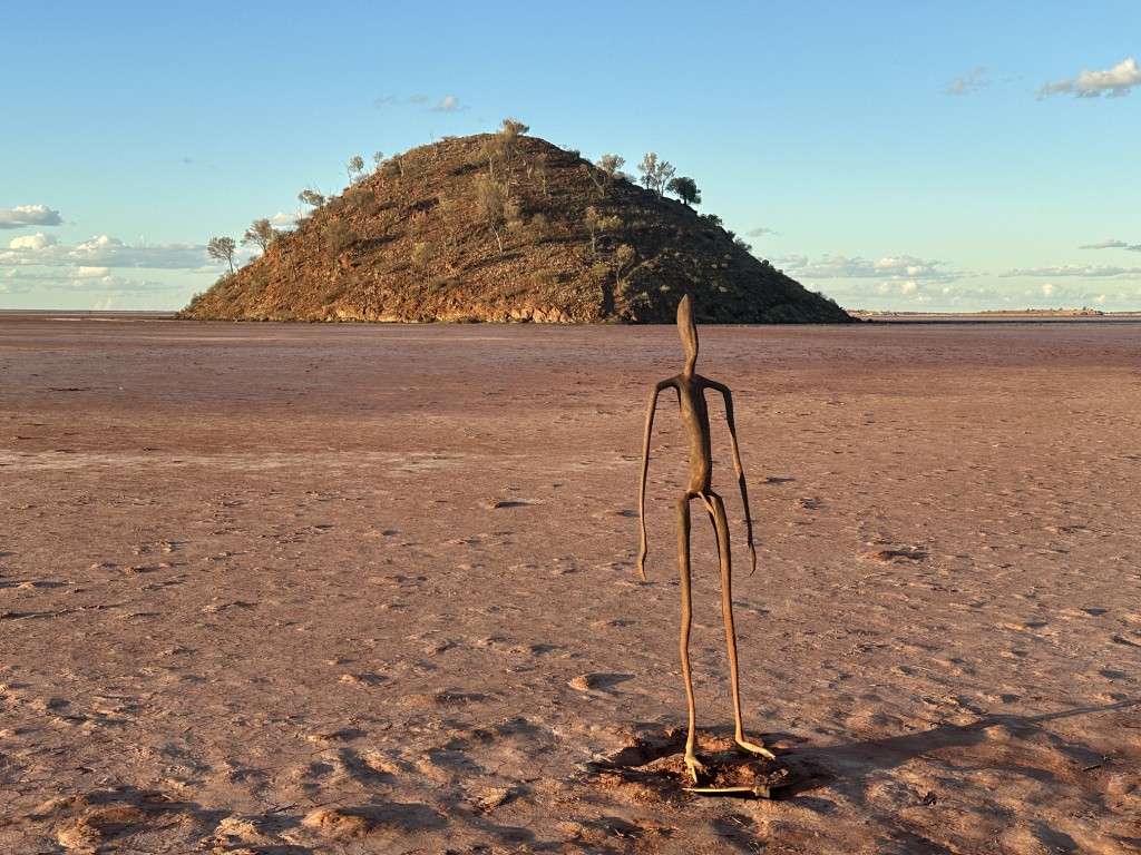
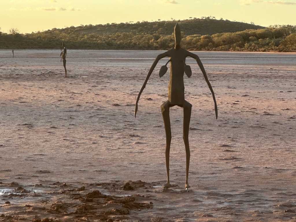
To get to Lake Ballard is a commitment as it is off the beaten track and remote. Once you are there, you realise what the fuss is about. This is not just a lake or another art installation, it is an unforgettable experience.
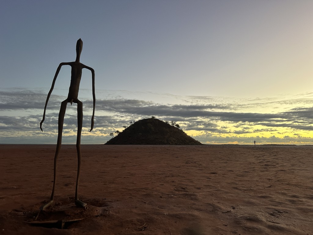
After the cyclone crossed land and damaged the Ningaloo Coast and the campsites we had booked, we finally discarded the option of going back north. We decided to head to Kalgoorlie and Norseman before crossing the Nullarbor back to South Australia.