
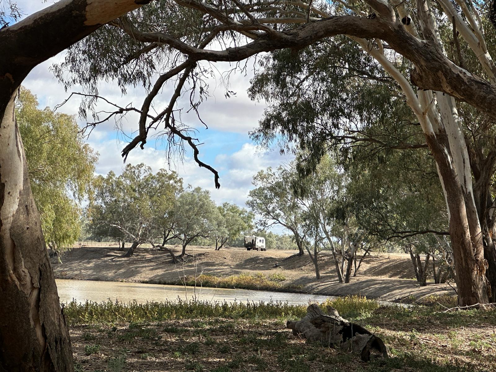
We followed the Darling River from New South Wales in the direction of Queensland.
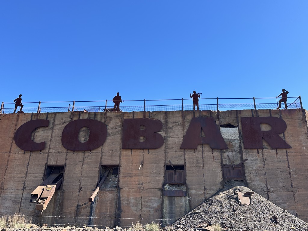
The small town of Cobar was our first stop. Driving past the Cobar sign, you realise the town must have mining heritage.
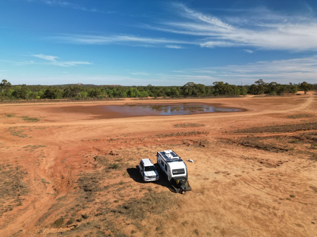
There were a few camping options in town and we opted for the Old Reservoir.
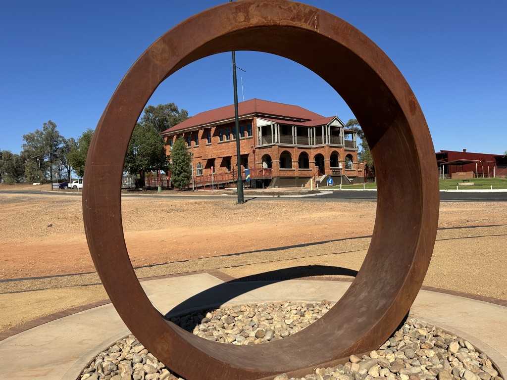
After we settled in, we started exploring the town. From the water filling station in Cobar, you can see the Great Cobar Heritage Centre through the Iron Ring sculpture in the main road.
The Heritage Centre is adjacent to one of the world’s largest copper mines of the 19th century. The mine was active from 1870 to 1919. From the 1930s, the mining of gold and other precious metals were resumed.
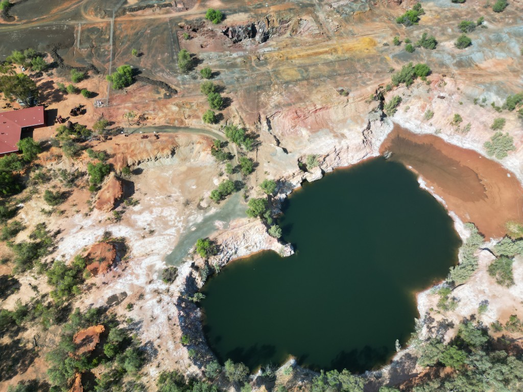
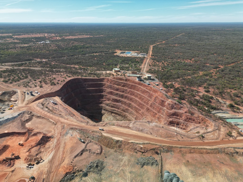
The Cornish, Scottish, and Australian (CSA) company is still mining the area today, but has started a new mine just outside town, next to Fort Bourke Lookout. While we were in Cobar, the Fort Bourke Hill Lookout was closed. This lookout normally provides a great view of the new Cobar open pit mine. We had to put the drone up to get a better view of the mine.
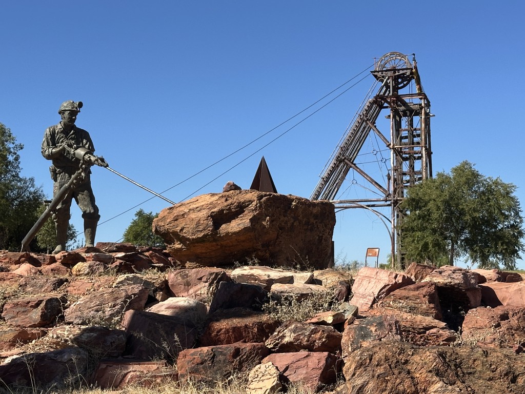
The Cobar Miners Heritage park and Memorial, is across the heritage centre. Early mining practices are on display in the park as well as a memorial for 171 miners that passed during service in Cobar.
Cobar claims to be the town where the dirt is red and the hearts are gold. A mural in town encapsulates the essence of the town.

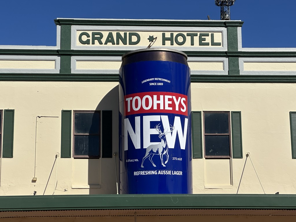
At 5 m tall and 2.5 m across, we could not miss the Big Beer Can in the main street.
From the caravan we had a great view over the reservoir. The last bit of water in the reservoir attracted many local animals including, kangaroos, emus, pigs and wild cats.


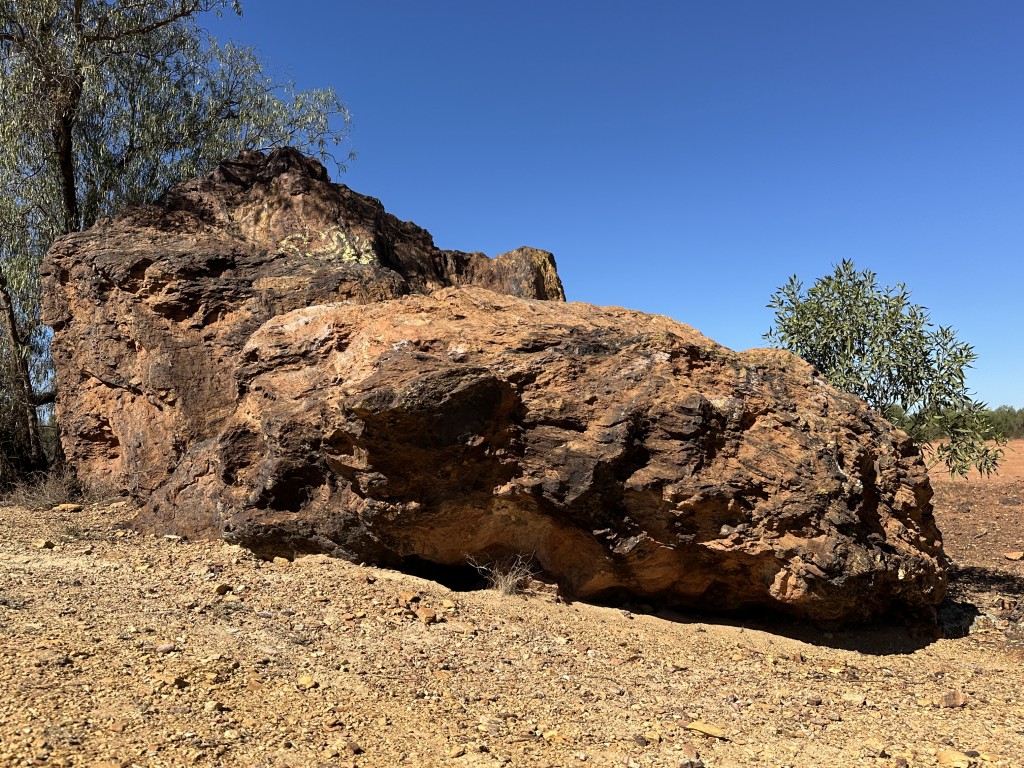
One of the places of interest in Cobar was Devil Rock, just behind the reservoir. Local aboriginals believe the rock is a place of evil. We saw no evil and heard no evil while we were there. Weird…
Further north is the “Gateway to the real Outback”, the town of Bourke.
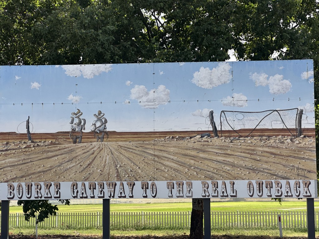
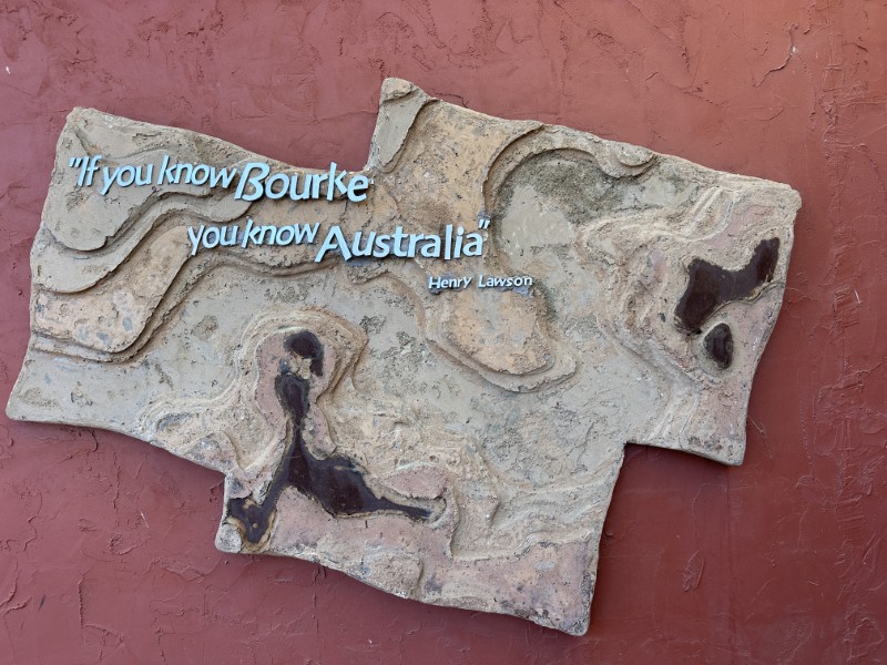
The sign at the Information Centre, quotes Henry Lawson. Henry reconned “If you know Bourke, you know Australia”.
Next to the Information Centre is a sculpture park. We walked though the park, amongst a variety wood carvings and metal art works. A total of eight 2 m sculptures are on display.


Just past Bourke is Mays Bend campground. We stayed at the camp and it quickly became one of our favourite off-grid camps.

Mays Bend was such a relaxing place with late mornings, slow days and great sunsets.
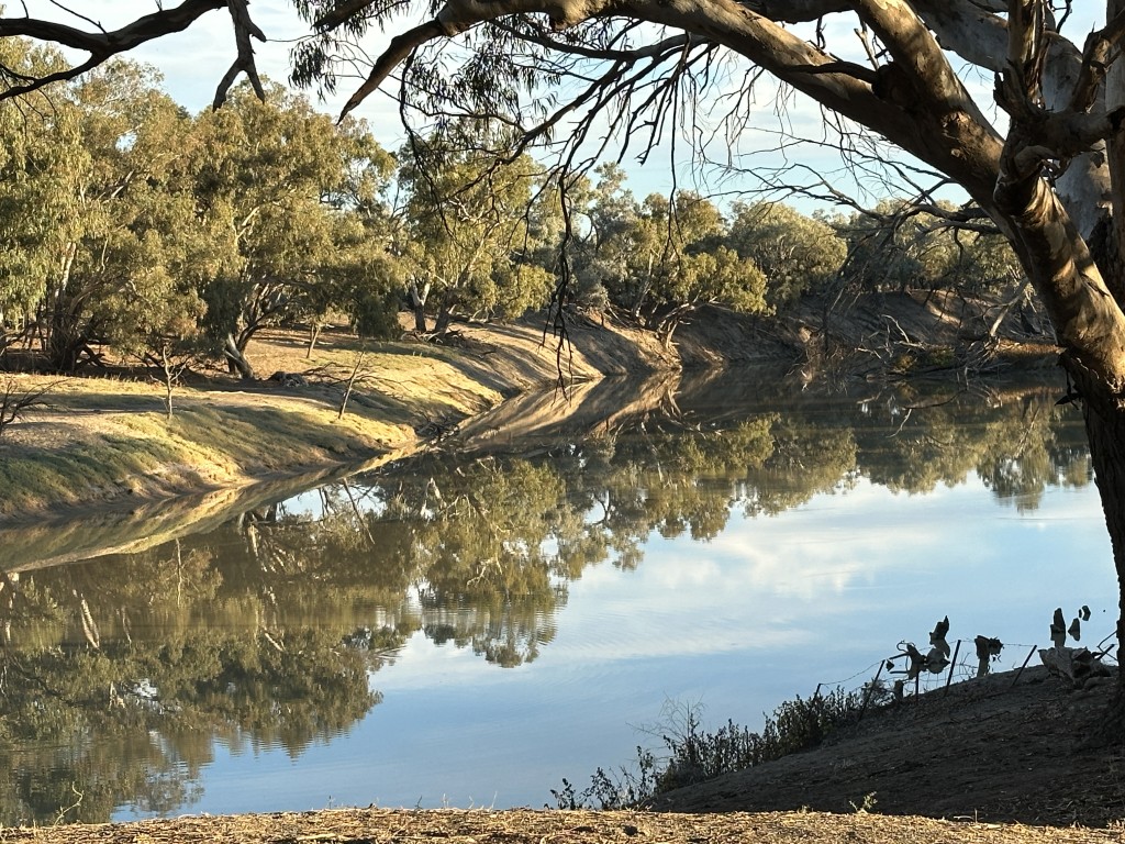

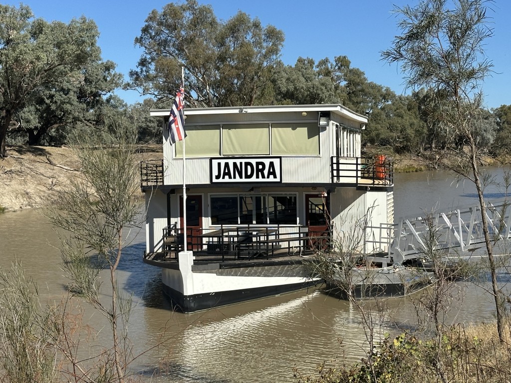
The Darling River was once home to paddle steamers. Bourke was a critical inland port for the steamers. The only close resemblance of a time gone by, is the Jandra paddle vessel build in 2000.
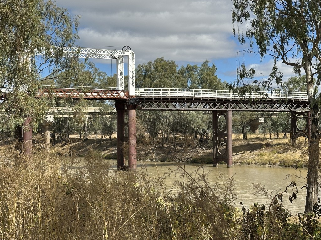
To allow paddle steamers free passage on the river, roads crossing the river had movable span bridges. The North Bourke Bridge is the oldest movable span bridge in Australia, dating back to 1883.
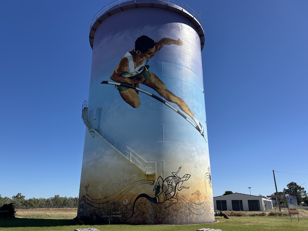
Percy Hobson was the first indigenous Australian to win a gold medal at the Commonwealth Games. He won gold in the men’s high jump at the 1962 Commonwealth Games in Perth. Bourke’s water tower was used to create a tribute to Percy as one of Bourke’s favourite sons.
Professor Fred Hollows led a team of eye surgeons fighting trachoma in indigenous communities. His pioneering work started in Bourke. Fred chose Bourke as his final resting place. Instead of an audacious headstone, a small memorial area was created for him in the Bourke Historic Cemetery.

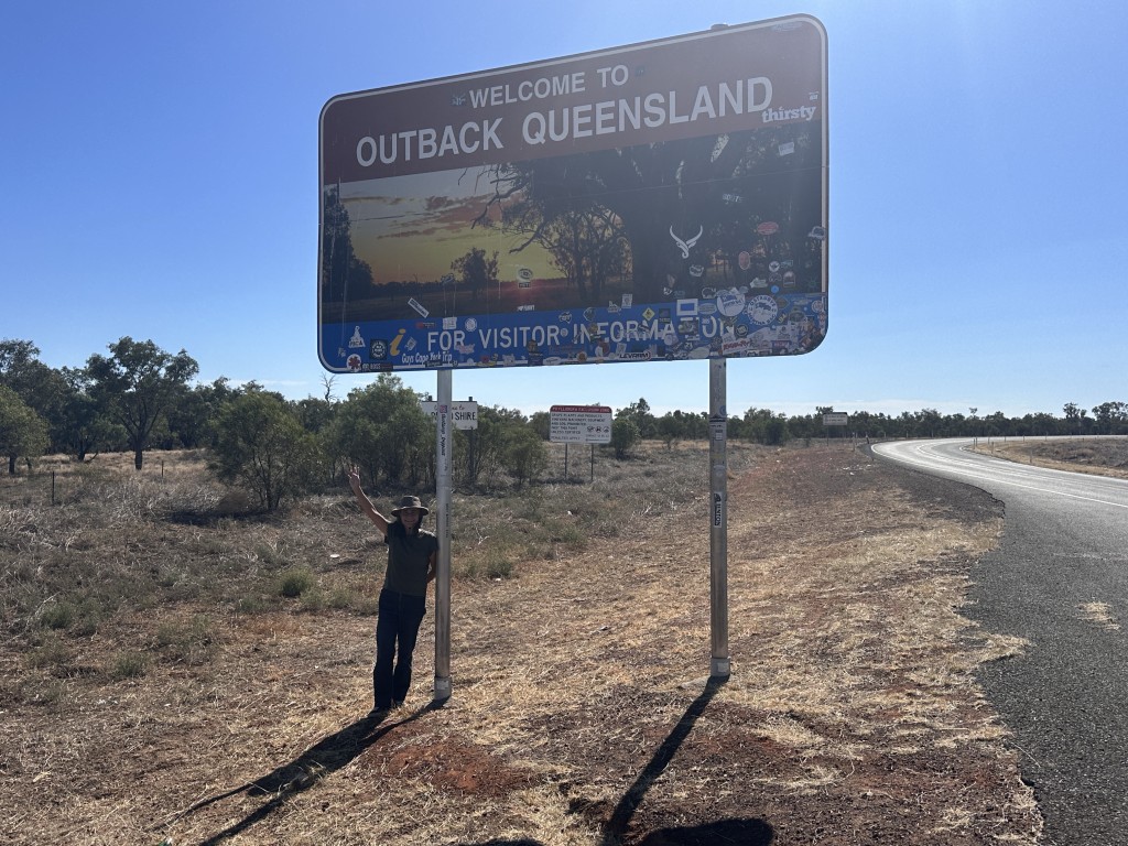
Another day, another border. This was the eighth border crossing on our second trip. The crossing to your home state is always special. It was good to be back in Queensland. The fact that we made it back to Queensland despite the fuel insecurity, made it even sweeter. We stopped at the border sign and emptied our two diesel jerry cans. We have carried these cans for more than 4000 km since we left Shark Bay in Western Australia. For the first time, we were sure we had enough fuel to get back to Brisbane.

On the way to Cunnamulla, we spend one night at Jobs Gate Rest Area, next to the highway.
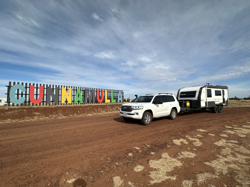
Cunnamulla was our first town after crossing the border into Queensland.
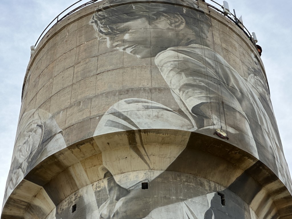
The water tower features kids playing with their neighbours. They are not the next door neighbours but rather their neighbours 200 kilometres away, in Charleville. They only play twice a year when these young athletes compete in the grand final match. Charleville has a matching theme on their water tower, reciprocating the spirited outback competition and comradery.
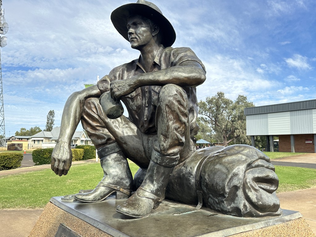
At the information centre sits the Cunnamulla Fella. It rolls of the tongue. The song written by Stan Coster and sang by Slim Dusty inspired the statute of this outback bush character.
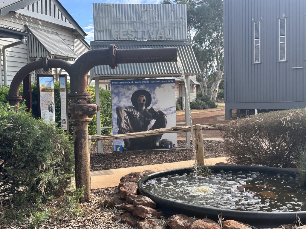
We stopped at the Information Centre to read about the local area.
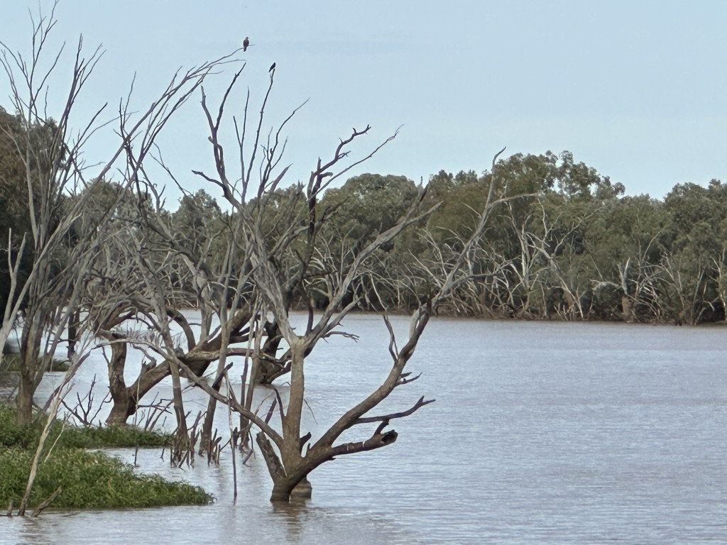
As we left Cannumulla we crossed the Warrego river over the Darby Land Bridge. The water flows into the Darling river that we have followed for the previous 1000 kms.
Still in the outback, our next stop was on Wallam Creek, close to the town of Balonne. After two days at Wallam Creek we went to Westmar and camped at the roadhouse. A few bucks at the pub gives you power for the night. This was the first powered site in 38 days.
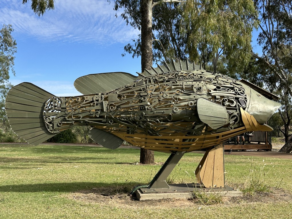
We drove through St George and stopped at the Giant Murry Cod.
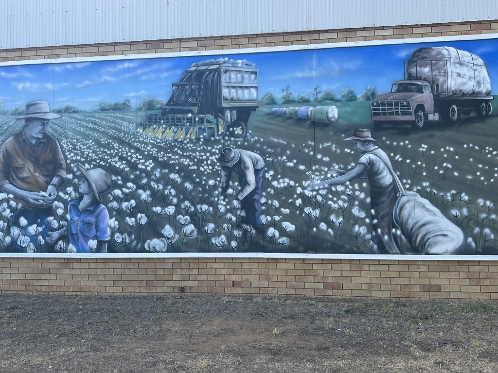
The cotton farm mural in St George was an indication of the agricultural backbone of the area.
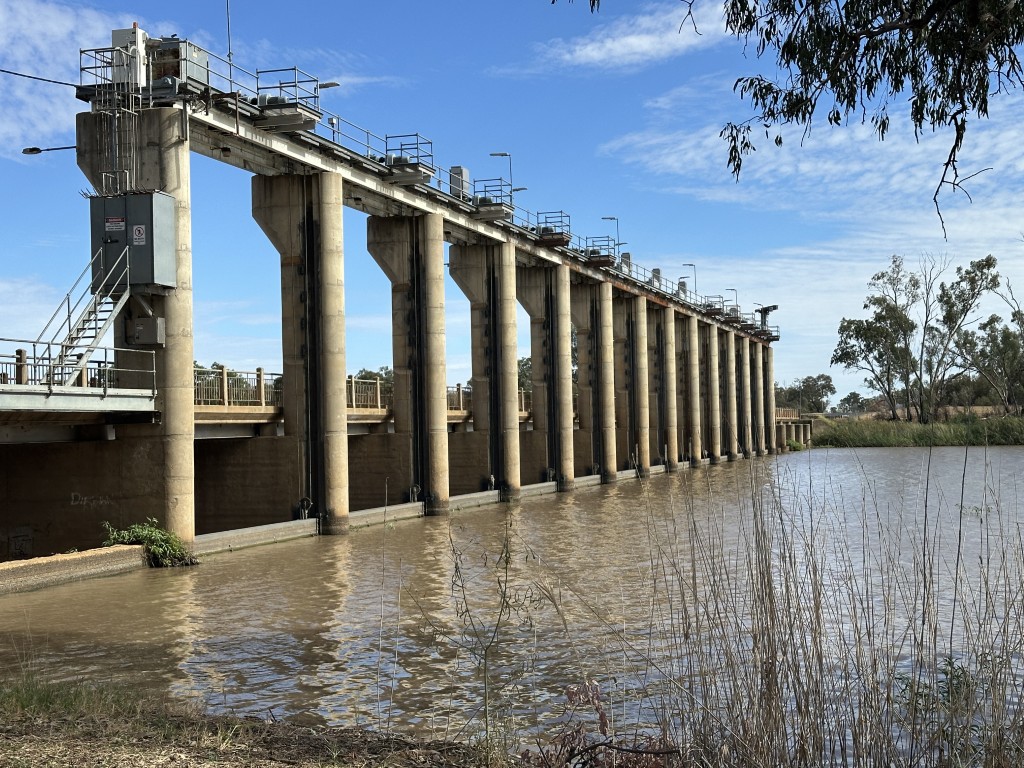
Cotton needs lots of water and the Jack Taylor weir in St George was build to enable irrigation from the river.
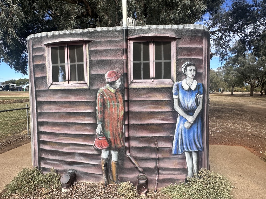
Changing public loos to artworks, is becoming more common. St George made this loo part of their art trail.
After St George we passed through Moonie. The Thomasson De Stegg Holland beam pump in the main street is a testimony to the early extraction of crude oil from underground reservoirs. Drilling was stopped as it was considered unsustainable. With new technology, a multi-company drilling program commenced in the Taroom Trough at Moonie. The Queensland Government is on board, and fast-tracking the new initiative.

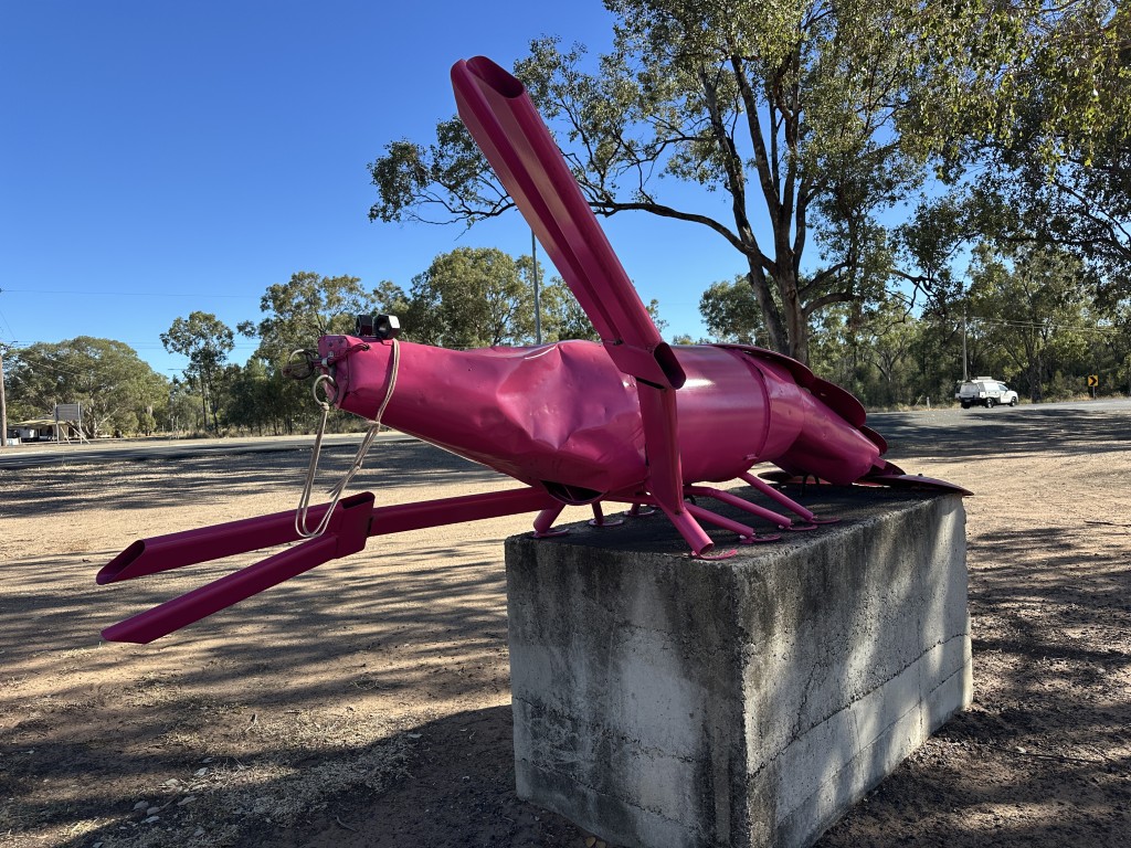
Moonie is also known for the yabbie races. The race is a biennial outback event attracting more than a thousand visitors to the small town. The Big Yabbie is in the main road celebrating the races. We had to smile when we saw this yabbie. The yabbie seem like something fell on it and it is in need of a smash repairer.
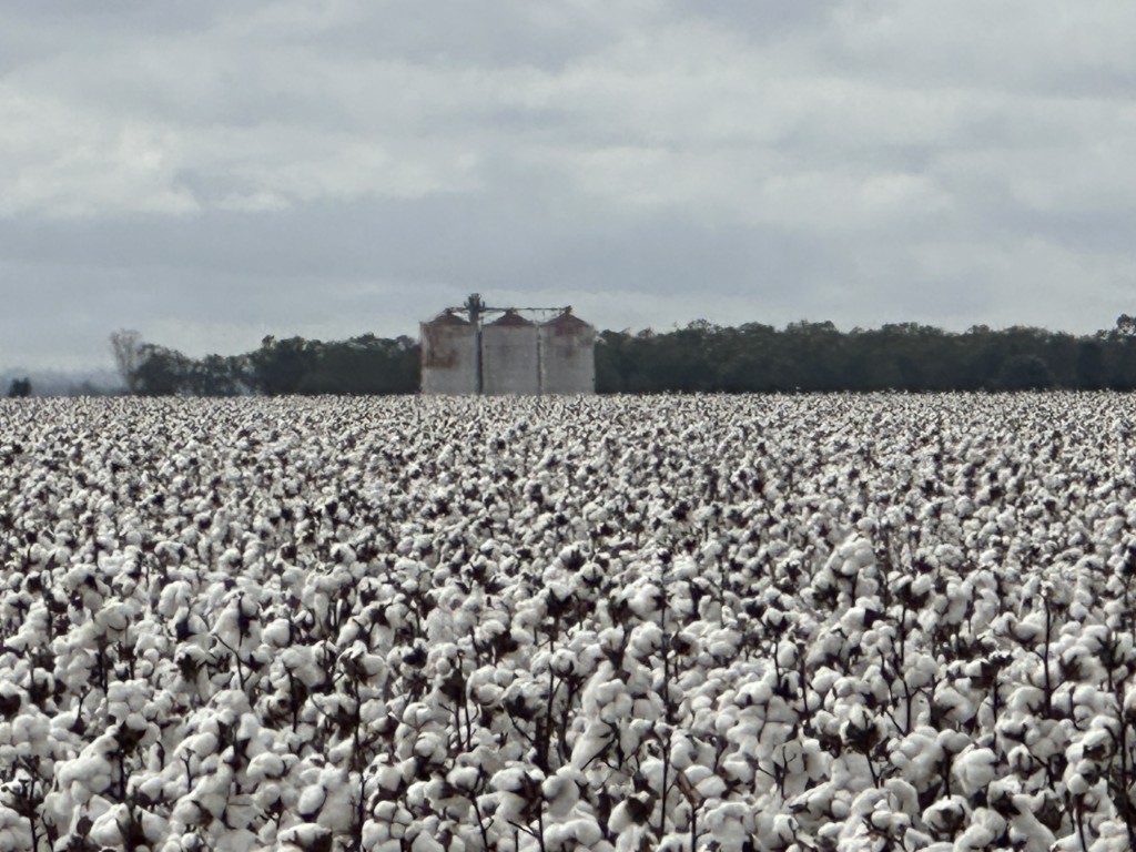
From Moonie we drove straight into cotton country, with cotton fields appearing over the horizon.
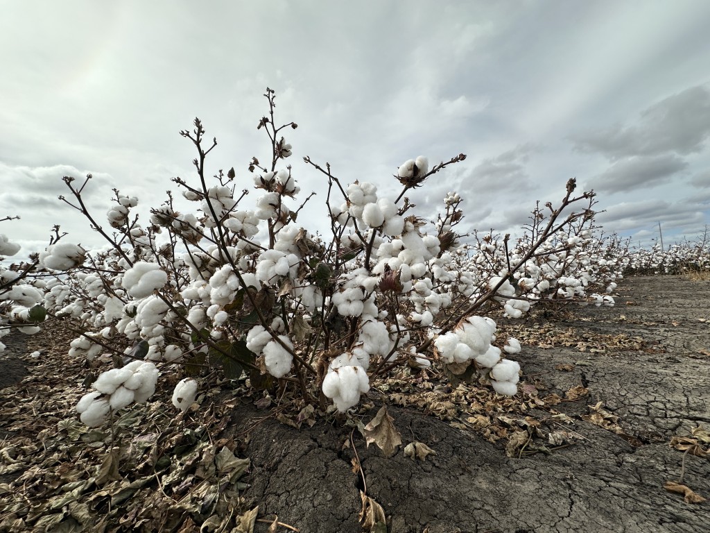
Cotton shrubs and cotton balls were lining the road.
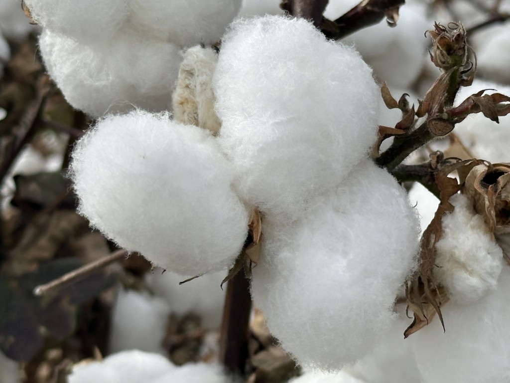
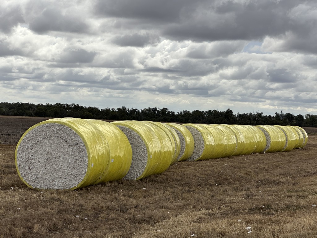
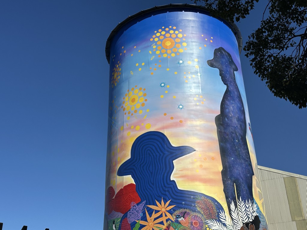
We stayed at the Bowenville campground close to Dalby for seven days. This was our first major town since Broken Hill and we topped up on supplies. After Dalby we went to Toowoomba. We have been in Toowoomba in the past but never stayed over. We stopped at the showgrounds from where we could explore the city. The painted silo is dubbed “We remember, never to forget”.
Next to the university is the Ju Raku En Japanese Garden.
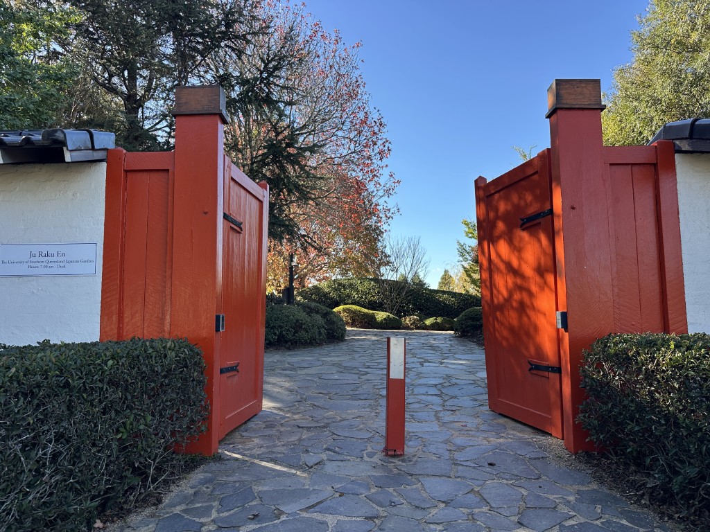
The garden is meticulously manicured and enjoyed by visitors passing through and students lazing around in-between classes.
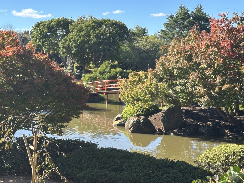
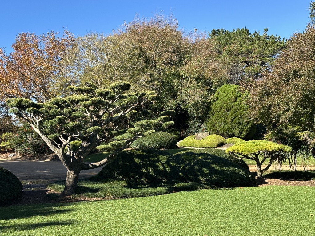
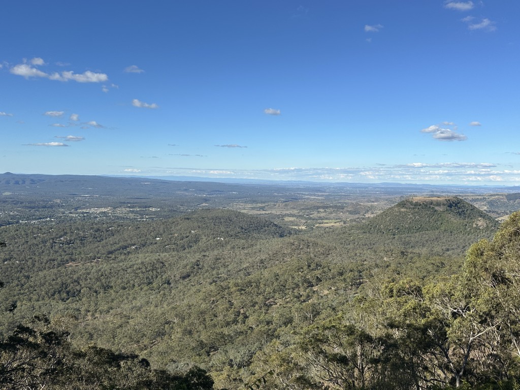
Toowoomba sits elevated on the Great Dividing Range, 130 km west of Brisbane. Its elevation makes for great views over the Lockyer Valley from Picnic Point Lookout.
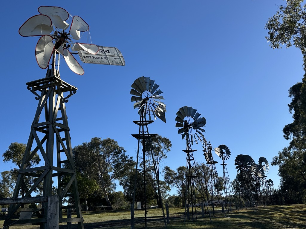
The Toowoomba foundry was the birthplace of Australian windmills in the 1870s. Their most popular mill was the Southern Cross that was exported across the world. A display of ten windmills of various brands was set up outside the Cobb & Co museum.
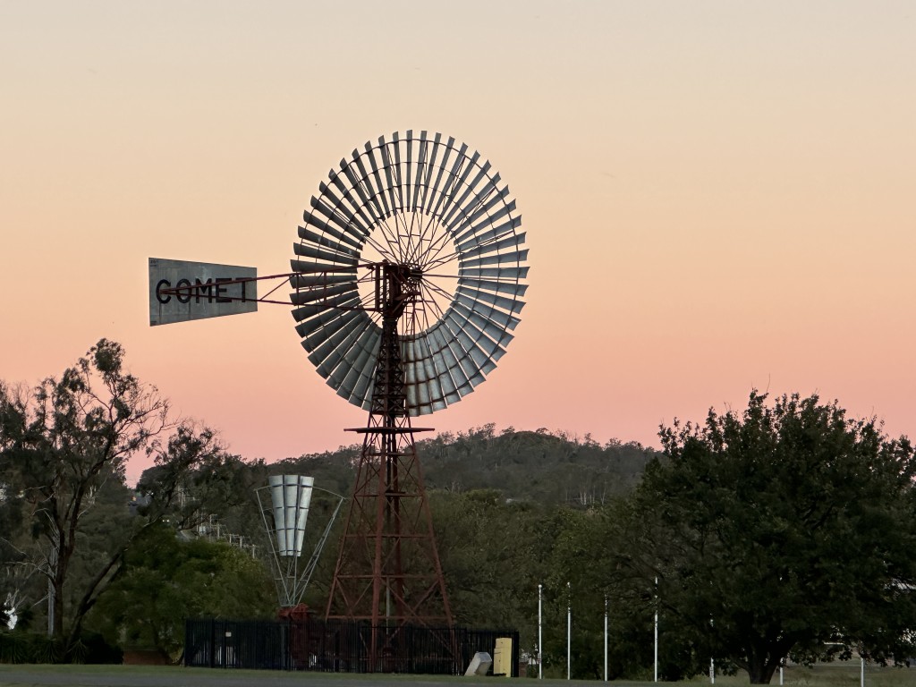
The restored 35 ft Comet on the adjacent showgrounds must be the crown jewel of the collection. Only fifteen of these giants were made and this one was still spinning as the sun was setting over Toowoomba. Passionate researchers have tried for decades to locate all fifteen, but they could not yet find and reconcile all of them. This old chap was serial number 15. In South Australia we saw “Big Bruce” in Penong. Big Bruce is also one of the last remining 35 ft Comets, and is serial number 10.
Our last stop before going back to our house in Brisbane, was Glen Rock Camping area in the Main Range Conservation Park. The long narrow dirt road rewarded us with having the place to ourselves.
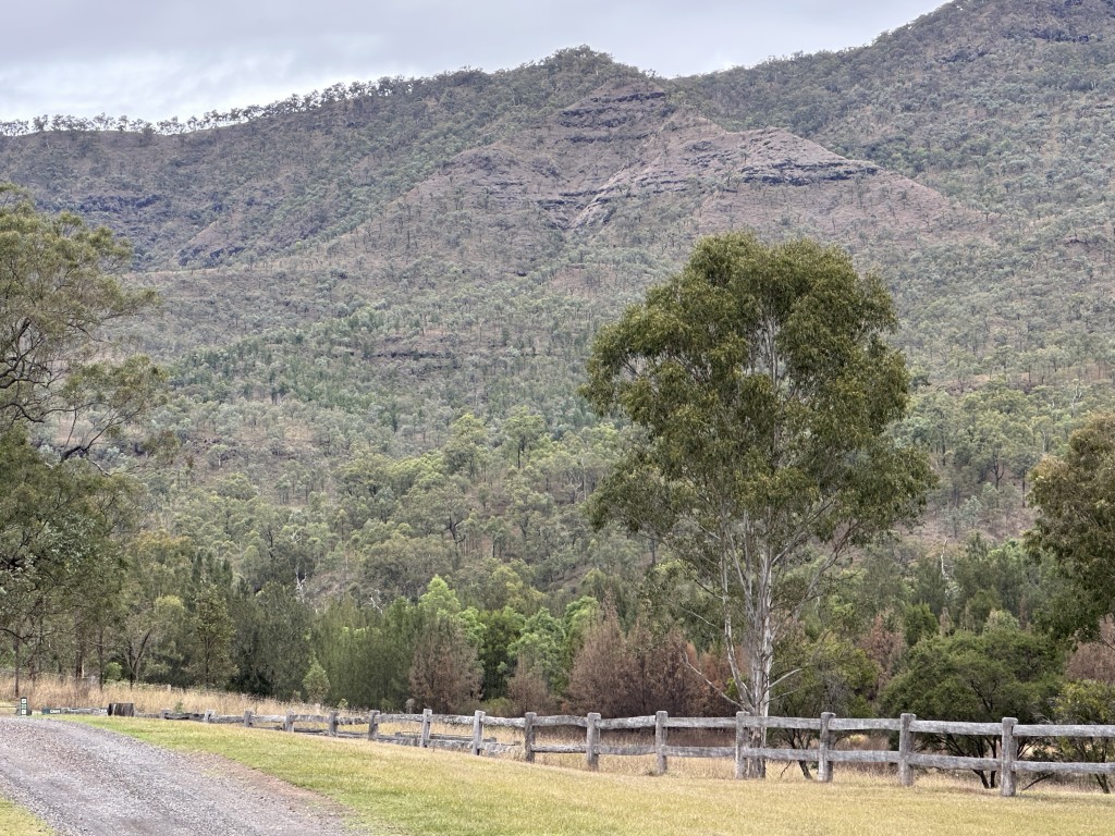
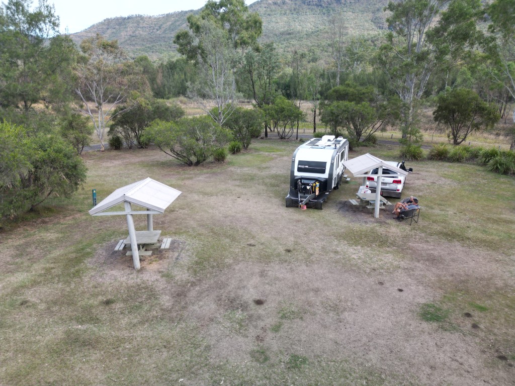
Glen Rock was covered in cloud when we arrived.

Blackfellow Creek was dry when we visited. This Tommy Roundhead Dragon made the most of the sun on the dry creek bed.

The campsite has an information slab hut on site detailing the history of the area, the fauna and flora and the walks available to visitors.
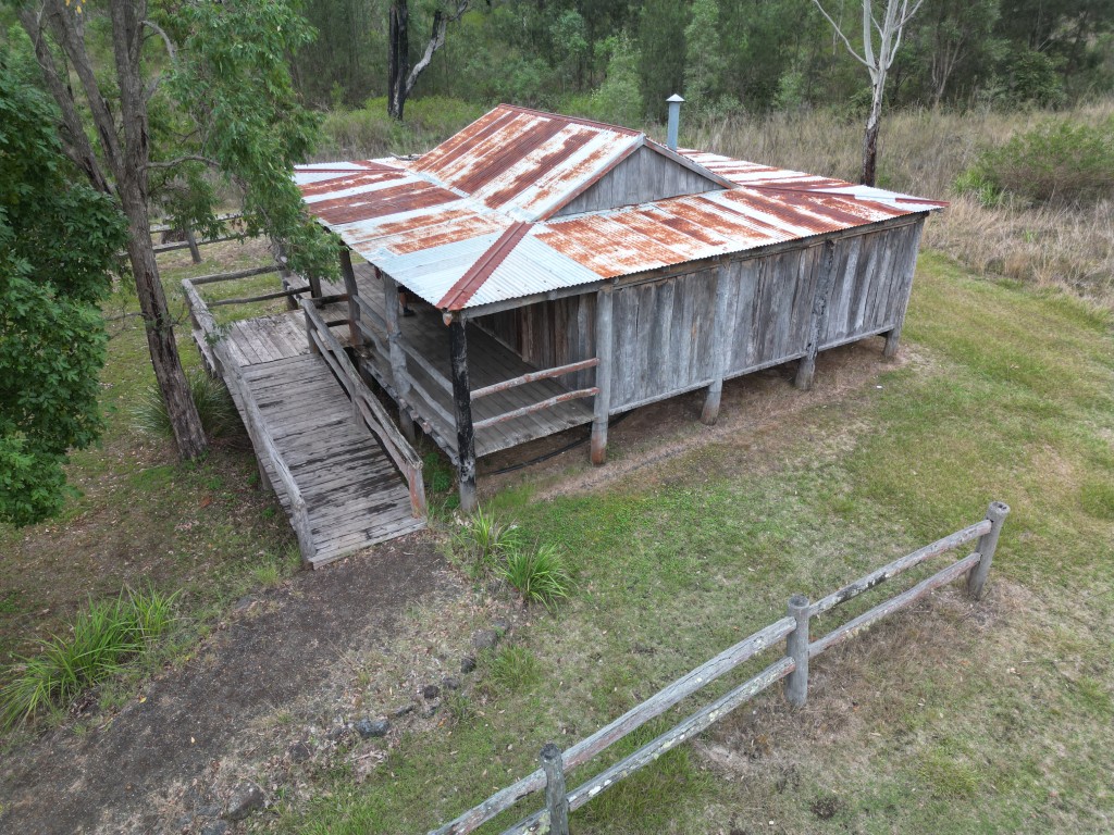
The hut has the 18th century feel to it.
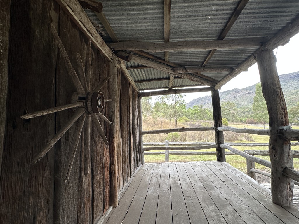
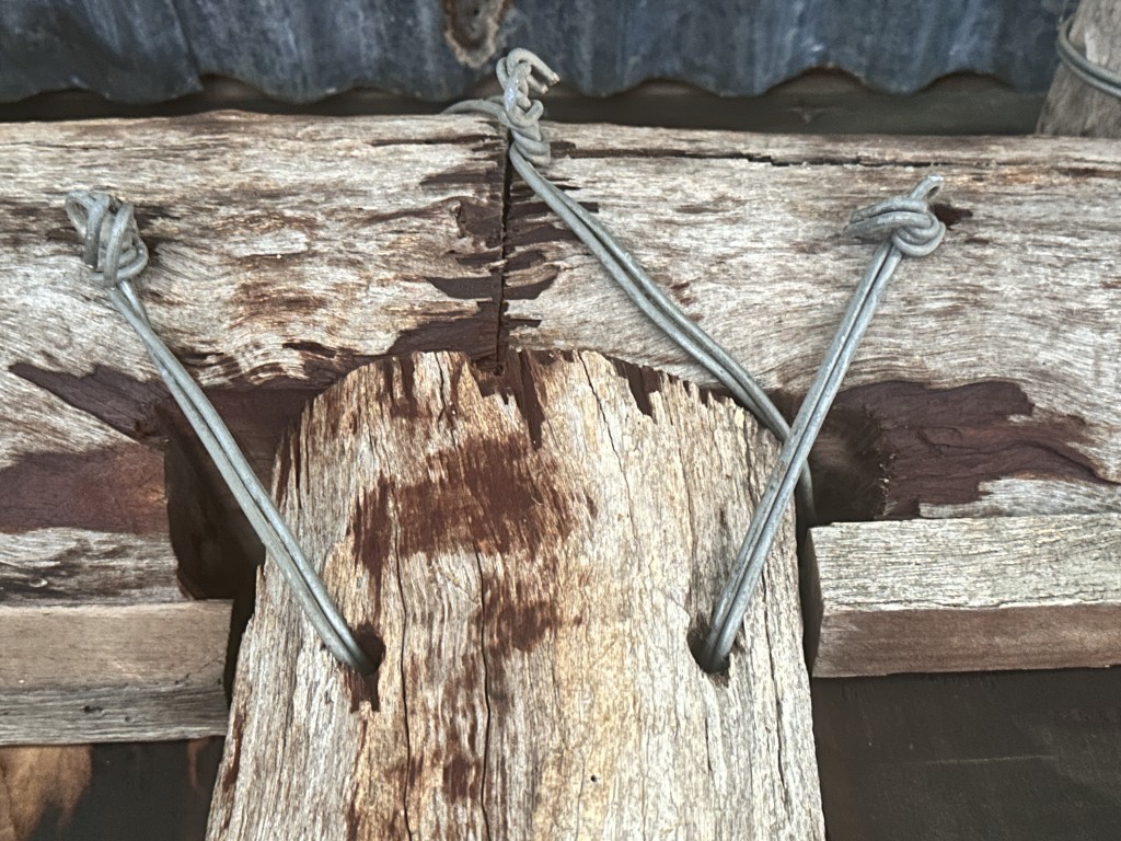
There are no nails in this hut. The 18th century building techniques were used in the construction of the hut.
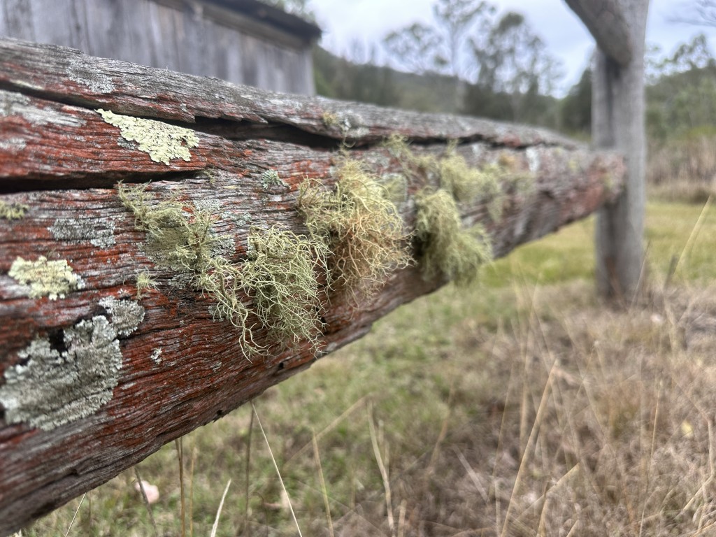
The fence around the hut shows the Old Man’s Beard air plants slowly covering and decaying the wood.
Leaving Glen Rock signified the end of our second trip. Our next stop was home in Brisbane to tackle our long maintenance to-do list. We were also planning a circular trip to Hervey Bay and and the South Burnett region.