
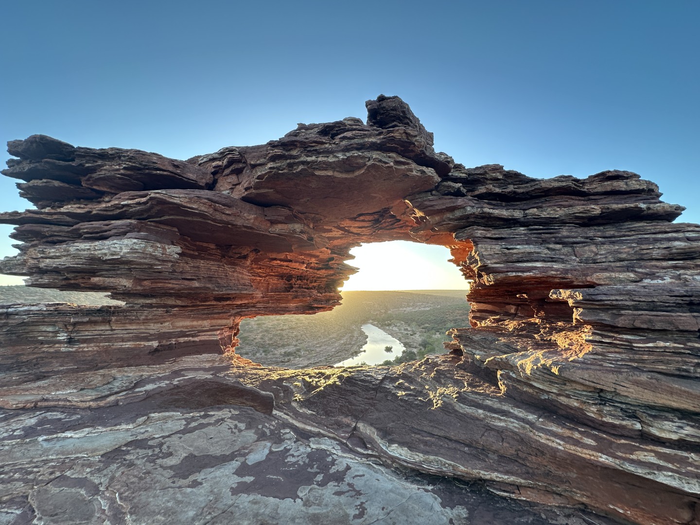
Just north-east of the town of Kalbarri is Kalbarri National Park.
This park is best known for the Murchison River meandering through deep gorges with elevated natural and constructed lookouts. We decided to spent a full day in the park to explore the lookouts and walking tracks through the gorges.
We left camp early to be at the Nature’s Window and the Murchison River for sunrise.
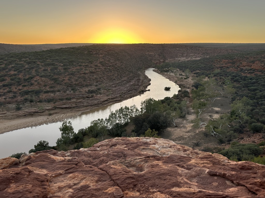
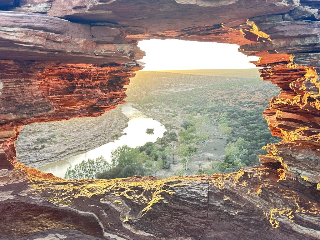
A steep hiking track from the carpark took us down to Nature’s Window. Nature’s Window must be the Kalbarri National Park’s signature feature. We were the second arrivals at the window, beaten by a photographer that already had his tripod ready for the perfect shot.
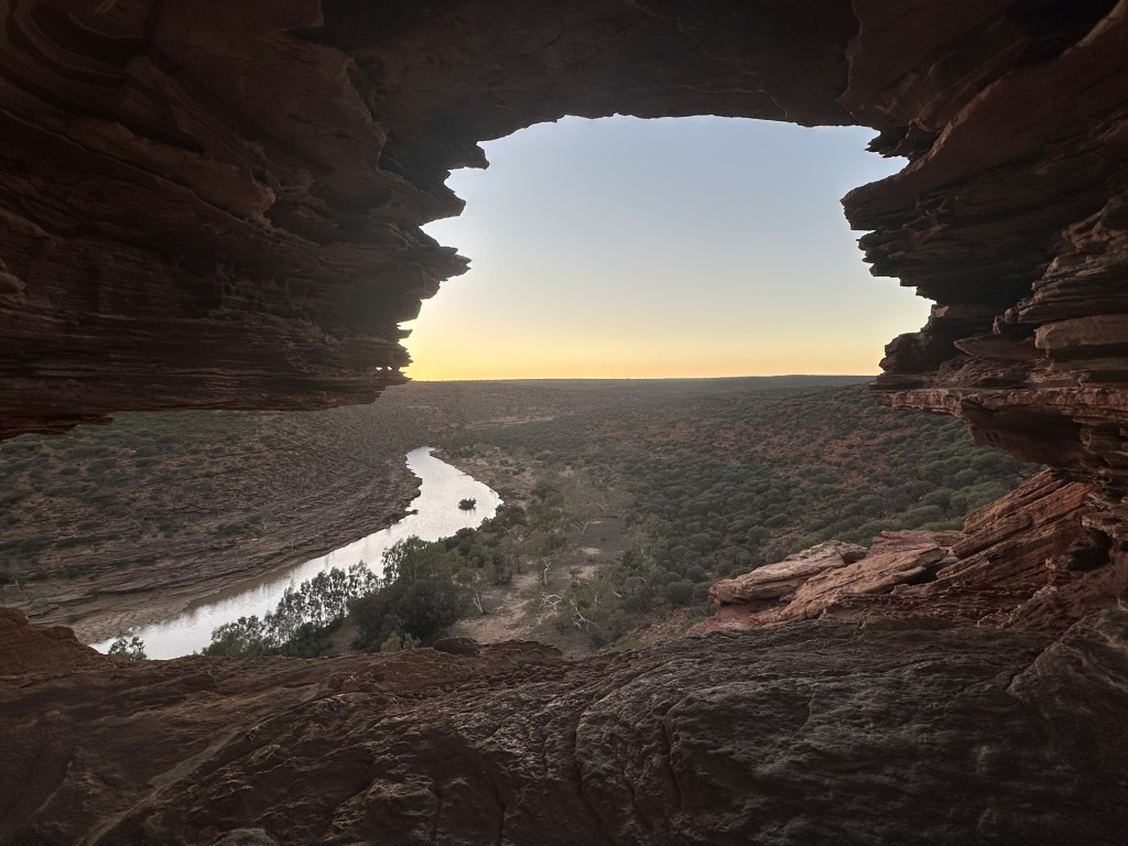
Nature’s Window is surrounded by rugged rock formations and weathered vegetation.
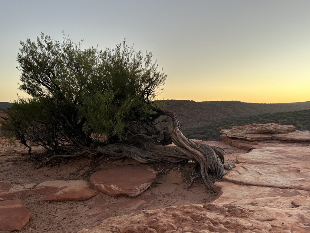
As the sun rose, the rock window started to glow. At this point there was a constant stream of tourists arriving at the window.
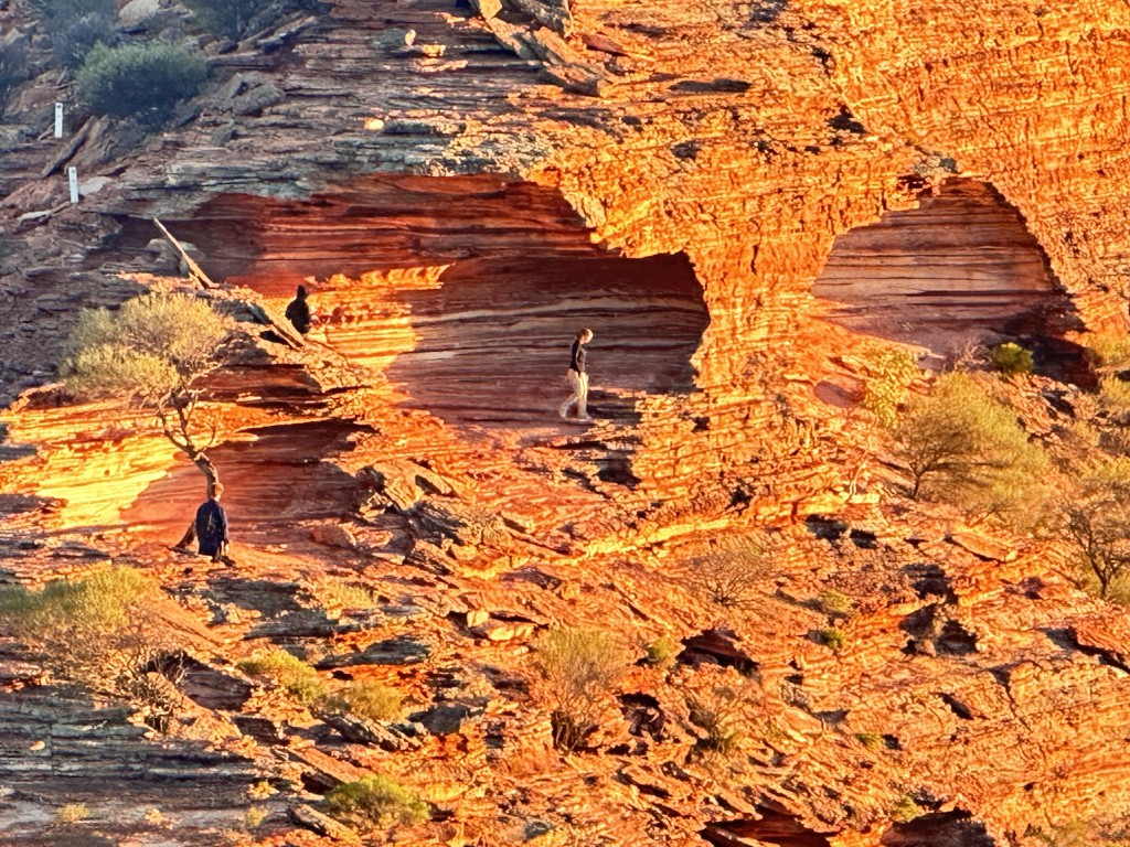
From Nature’s Window the Kalbarri National Park Loop Walk can be seen on the opposite rock faces.
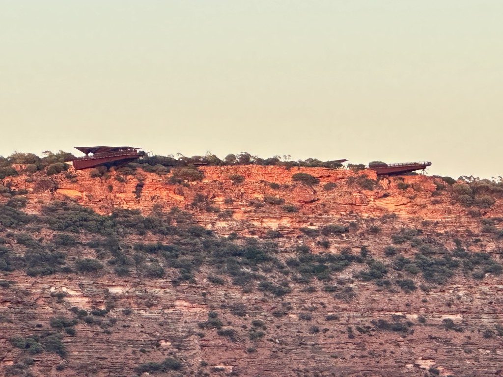
Looking west from Nature’s Window, the two skywalks overhanging the gorge started to illuminate.
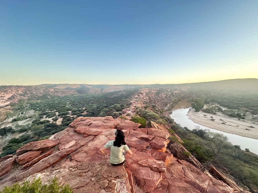
From Nature’s Window the river, gorge and vegetation started to come to life as the sun rose. This was a special place to enjoy the sunrise.

We took the track back to the carpark. A short stroll from the carpark, took us to Kalbarri National Park Skywalk Information Centre. The centre has interpretive information boards detailing the history and build of the cantilevered viewing platforms. Truly an engineering marvel.
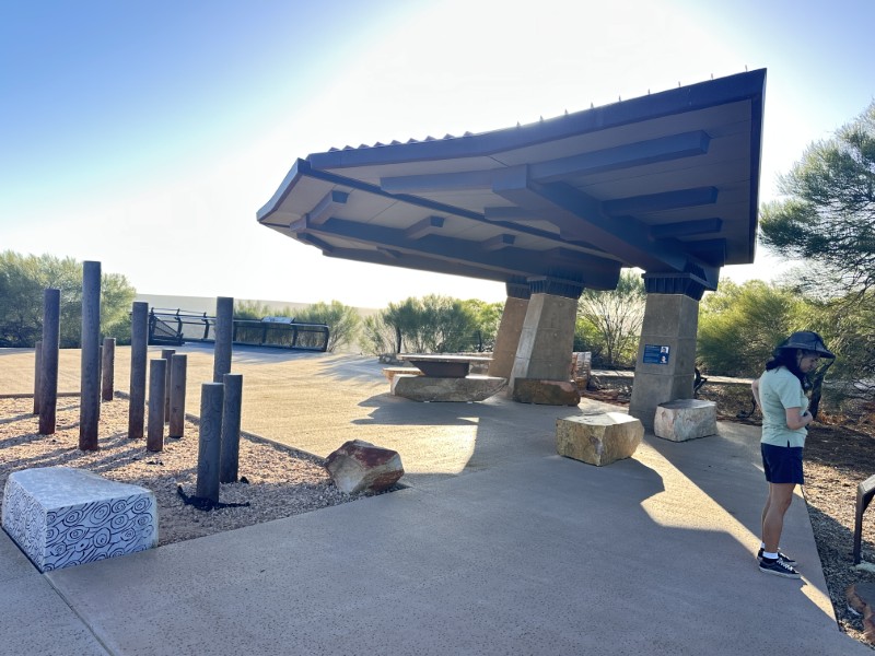
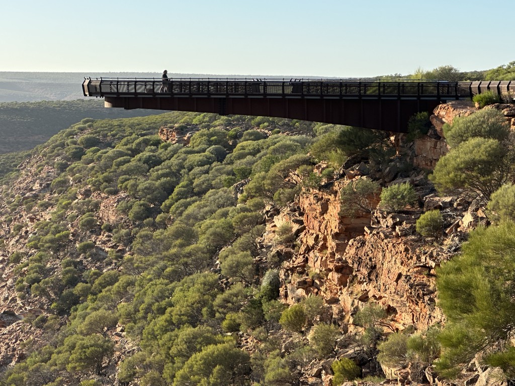
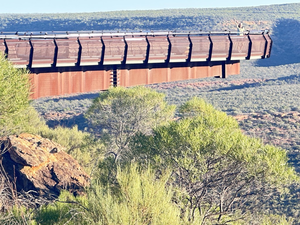
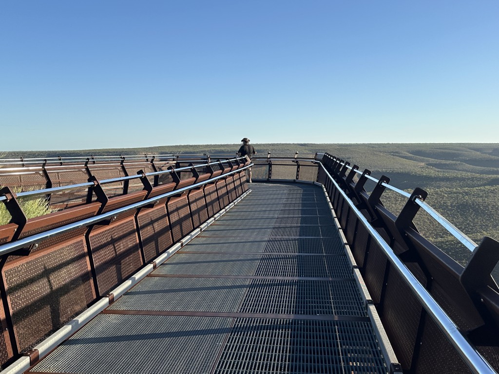
There are two viewing platforms overhang the cliff by 25 m and 17 m respectively. Below the platform is a sheer drop of 100 m to the Murchison River.
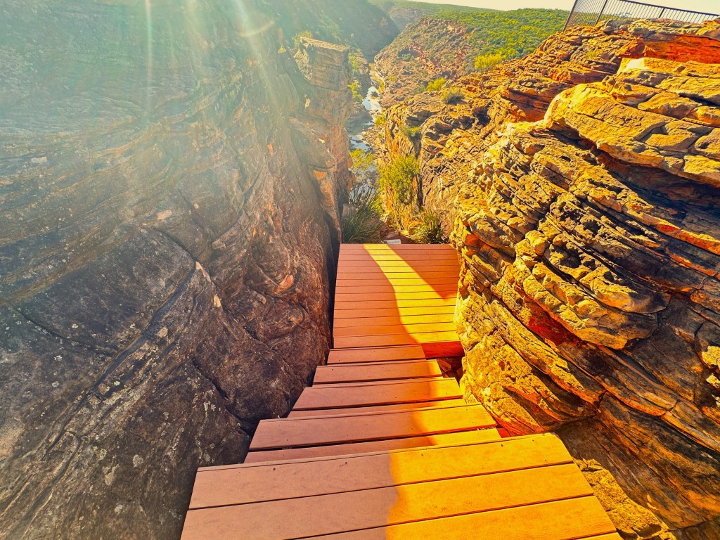
After the skywalks, we headed to the Z Bend River Trail. This trail is about 12 km from the lookout. From the carpark, a 1.2 km walk took us down to a viewing platform overlooking the Murchison River meandering through the gorges.
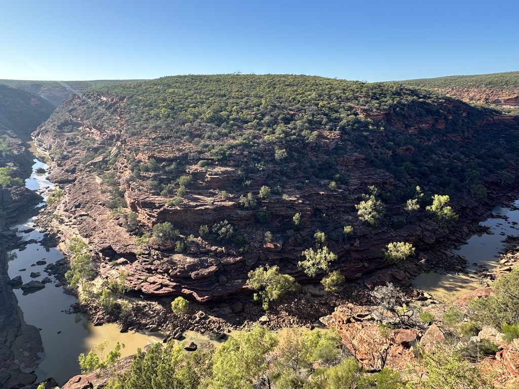
The walk down was fairly steep and lined with ancient vegetation and great views along the way.
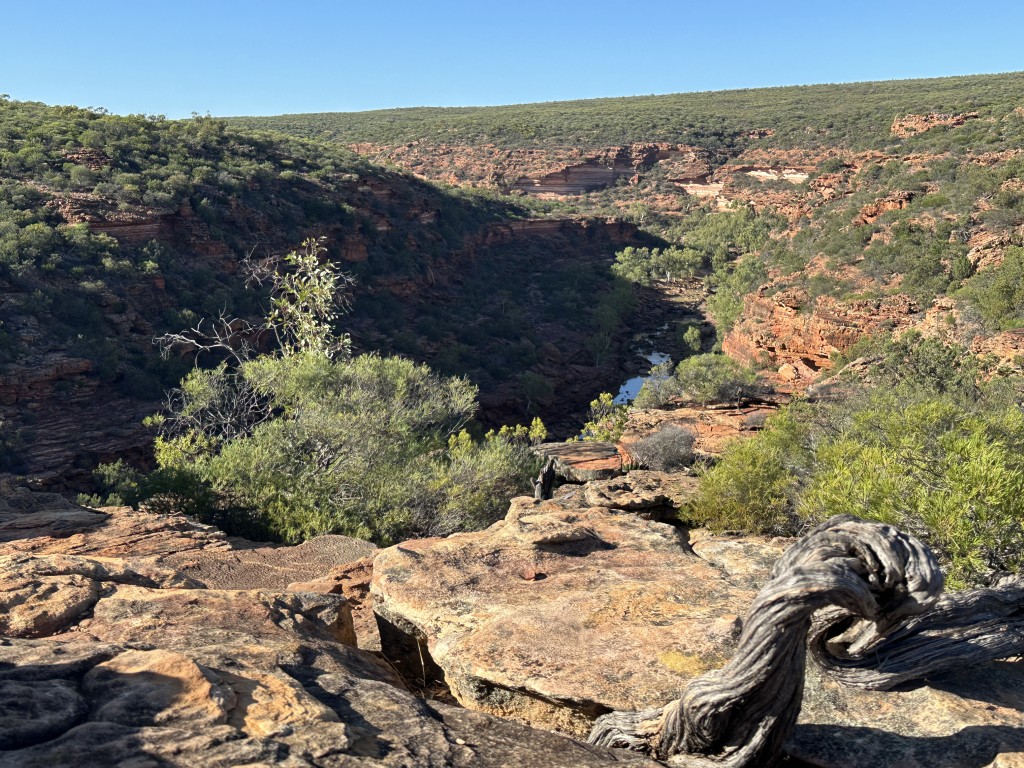
At the end of the walk is a rocky outcrop with a viewing platform on top of it, overlooking the gorge.
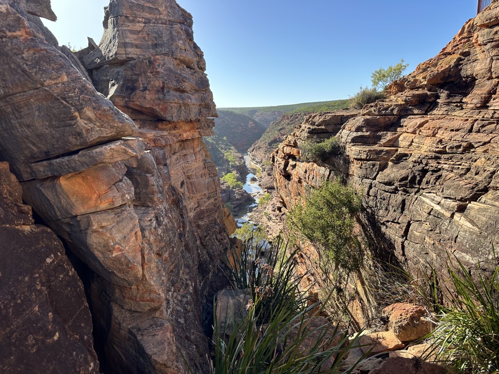
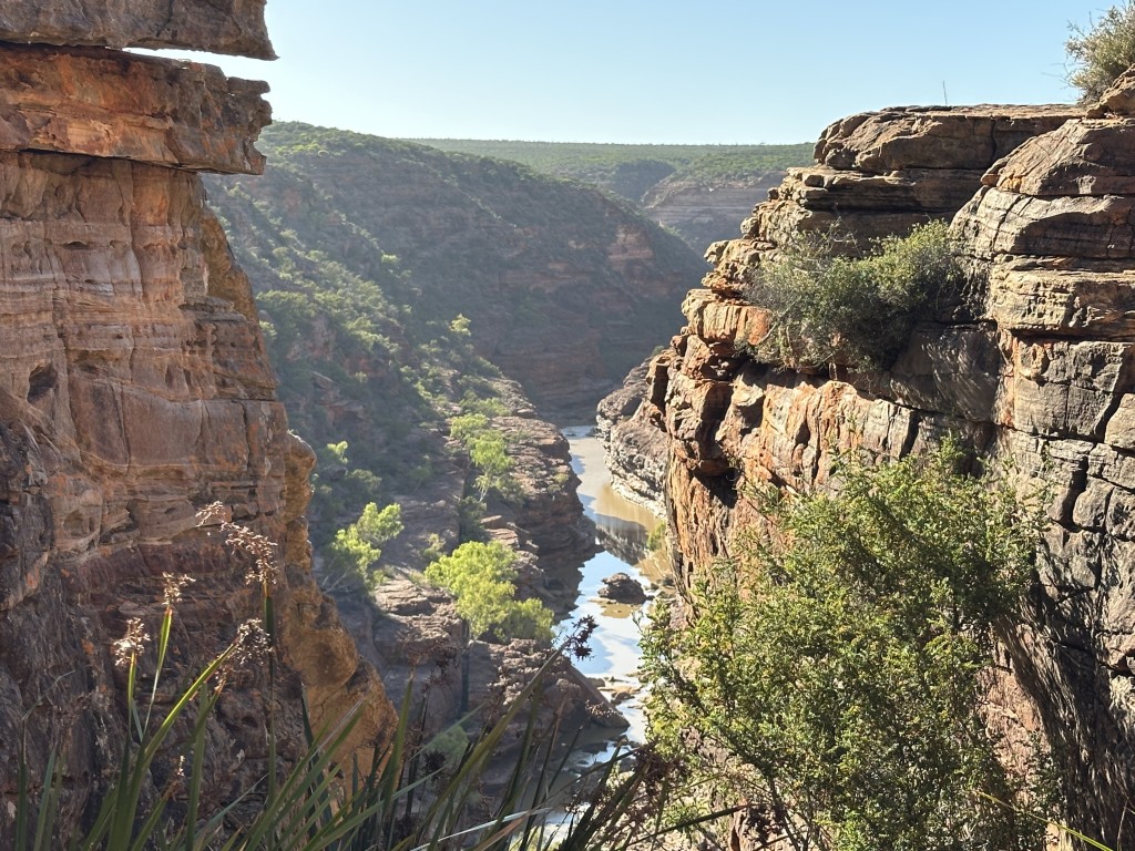
From the lookout you can take a steep walk down to the base of the gorge.
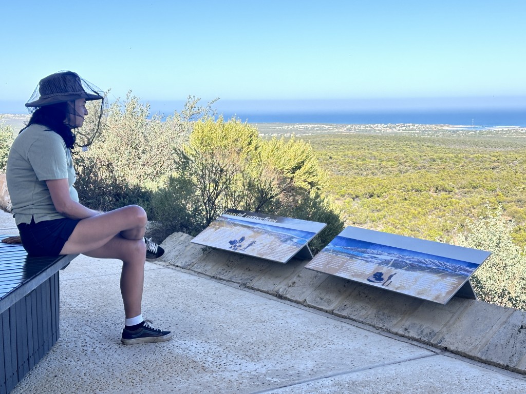
On the way back to Kalbarri we did the short Mallee Fowl trail to the Meanarra Hill Lookout. This lookout over the Indian Ocean offers 360-degree views over Kalbarri town and the Murchison River. The only impediment on the view was the non-negotiable fly nets :).
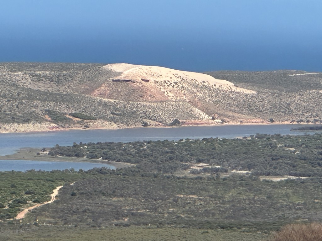
Looking north-west from the lookout, we could see part of the old Murchison House Station. This was the homestead of the original 350000 acre pastoral leasehold.
We left Kalbarri and planned to camp three nights amongst the acacia shrubland at Nerren Nerren Rest Stop.
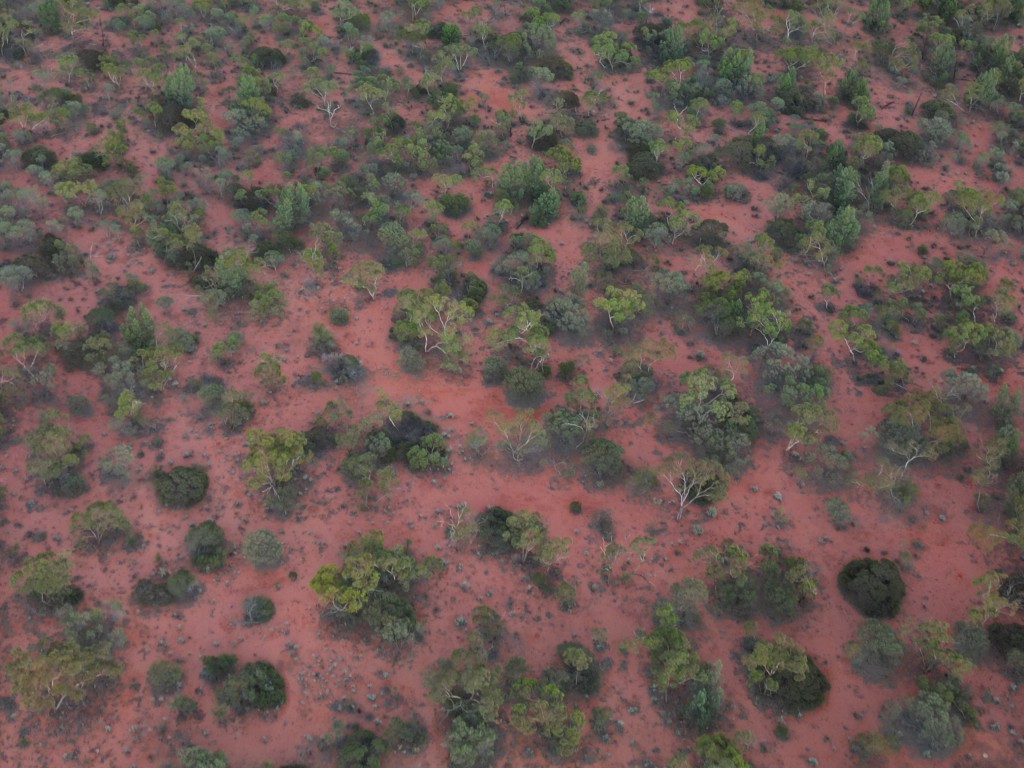
The Nerren Nerren Rest Stop is surrounded by vast open plains of acacia shrubland.
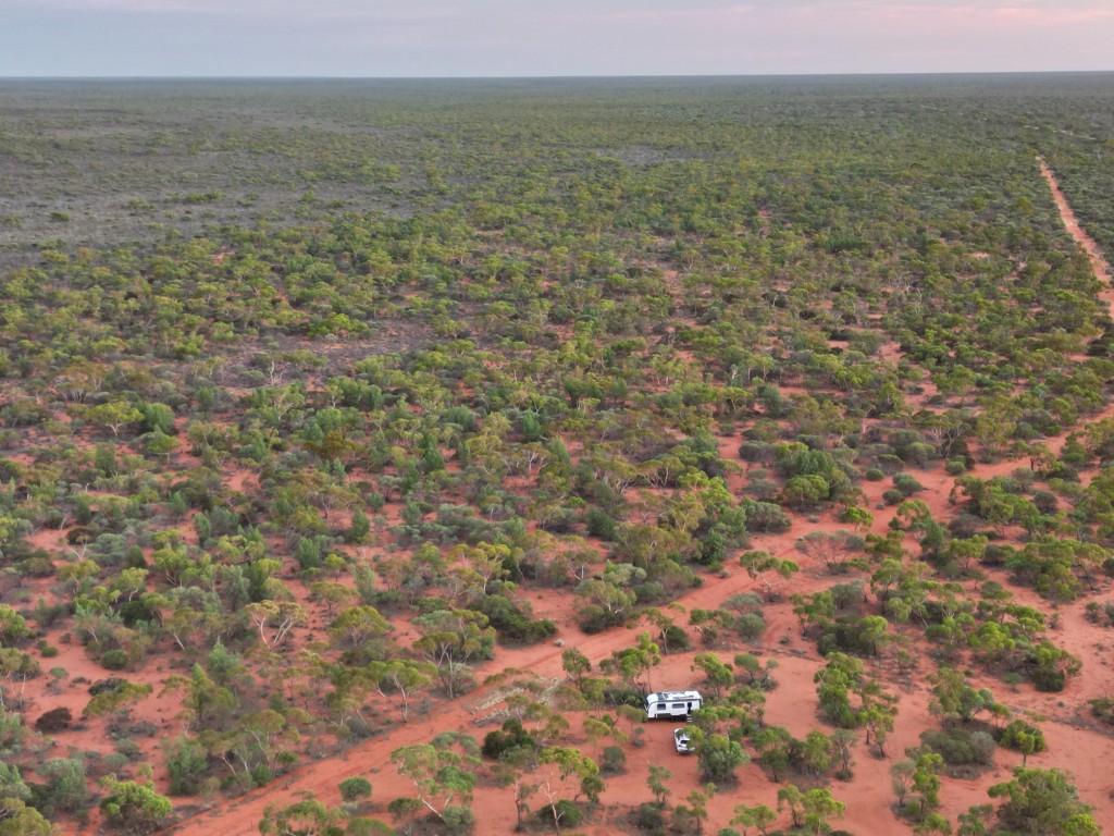
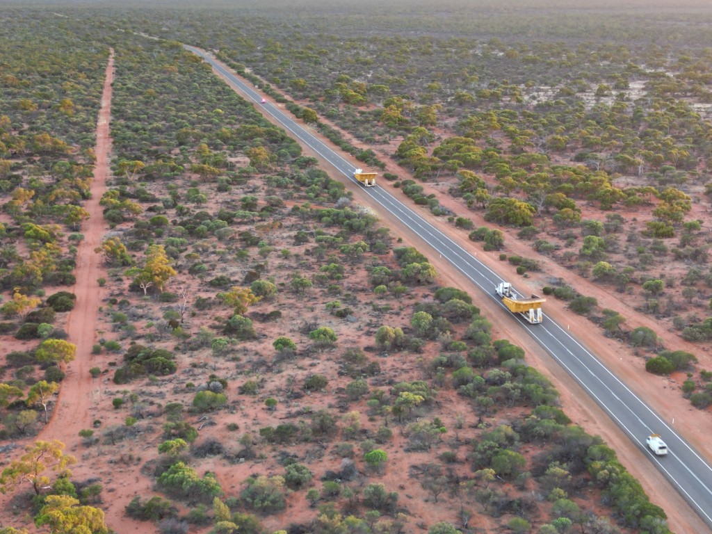
As the sun set, two massive mining trucks on lowbed trucks came rolling in. The next morning at sunrise they left Nerren Nerren Rest Stop with pilot vehicles and police guidance.
After two days of extreme heat and category 4 flies, we decided to leave one day earlier to Denham in Shark Bay where we could enjoy aircon on a powered campsite.
Just past the Overlander Roadhouse we started the world heritage drive.
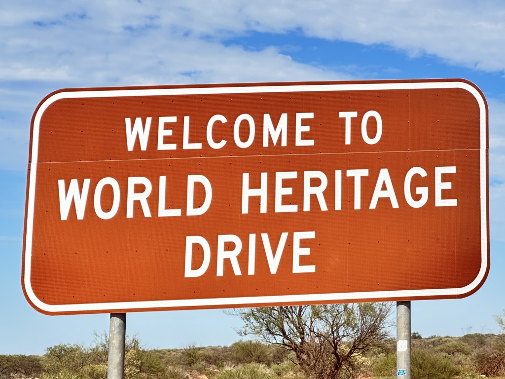
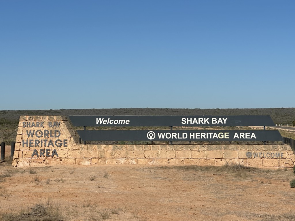
Just past the first sign we entered the Shark Bay World Heritage Area. The area covers 23,000-square-kilometre with some of the best beaches, great 4X4 tracks and fishing.
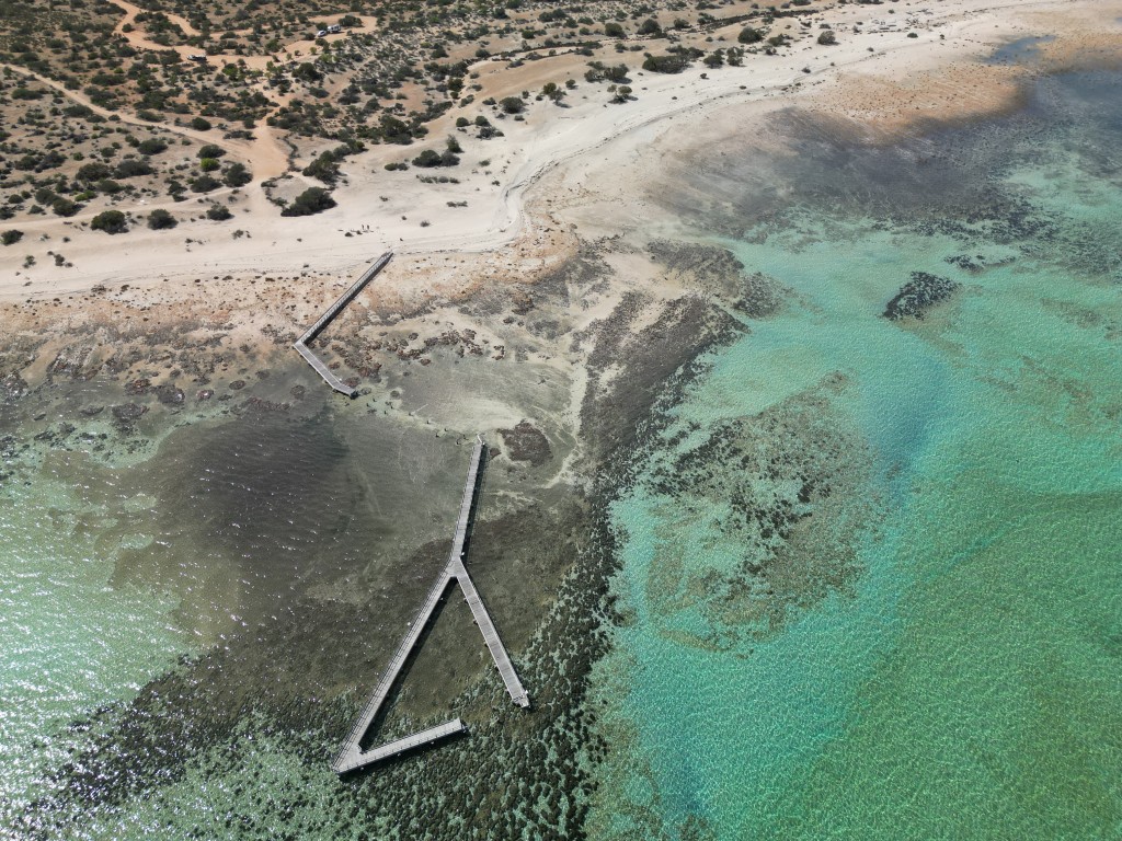
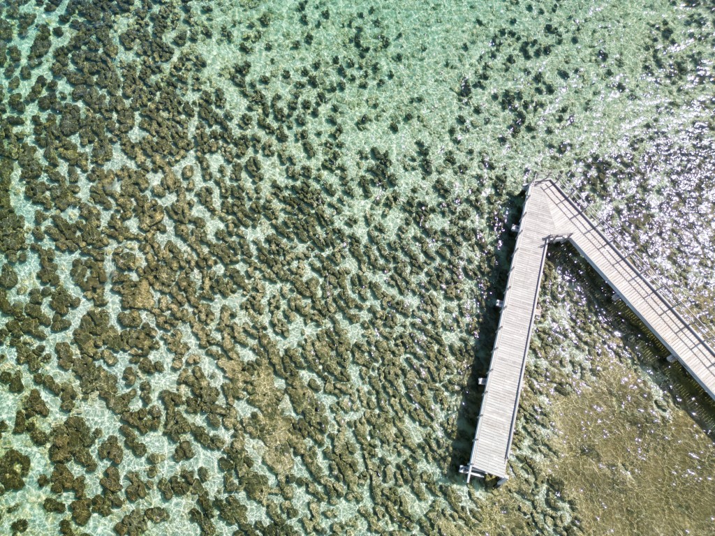
Our first stop was at the Hamelin Pool Stromatolites Boardwalk. The boardwalk was partially destroyed by severe Tropical Cyclone Seroja in April 2021. When we visited it was still inaccessible and there were no signs of it being rebuild.
Stromatolites are considered the oldest living organisms, estimated at 3.5 billion years old. Live stromatolites have only survived in a few locations in the world. The most famous location is Hamelin Pool in Western Australia. In addition to these, there are also hypersaline lakes at Cervantes, Mandurah and Rockingham where smaller stromatolite populations survived. After Hamelin Pool we have visited almost all the stromatolites sites in Australia.
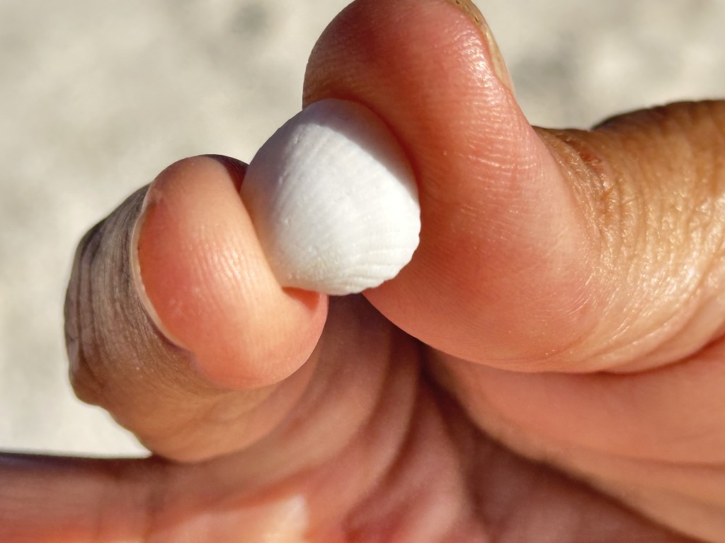
Between Hamelin Pool and Denham, is Shell Beach. This is one of only three beaches in the world consisting entirely of shells. The other two are St. Jean Beach in St. Barthelemy and Sanibel Island in Florida. Shell Beach is 70 km long. The entire beach consist of cockle shells. The shell deposits are up to 10 m thick in some sections.
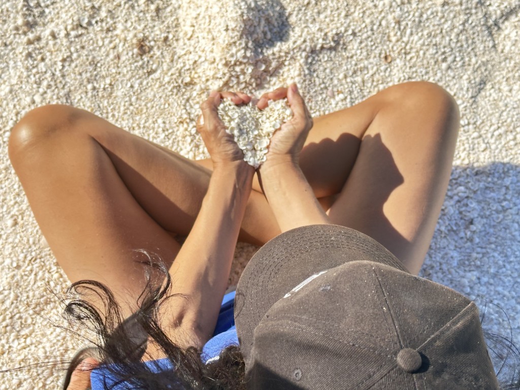
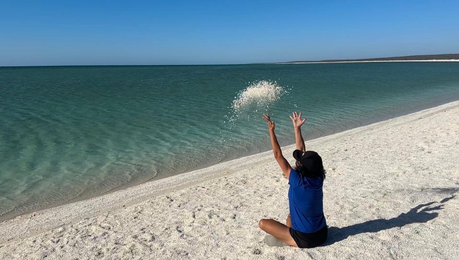
Even the campsites in Denham were covered by cockle shells.
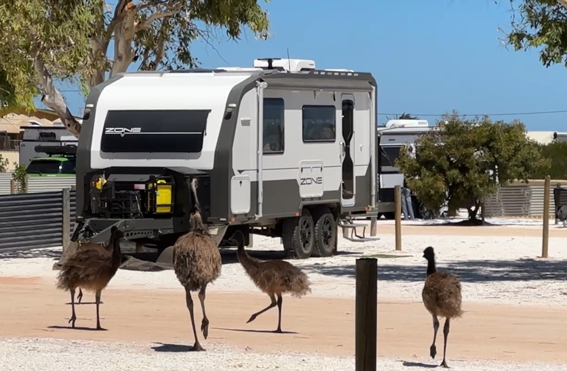
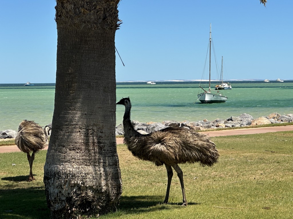
Denham is known for its resident roaming emus. They even walked through our campsite at Shark Bay Caravan Park.
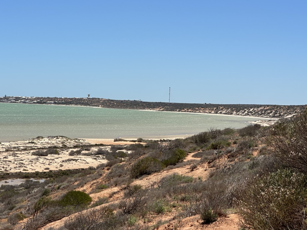
Denham Lookout was close to camp and provides a great view towards the town of Denham.
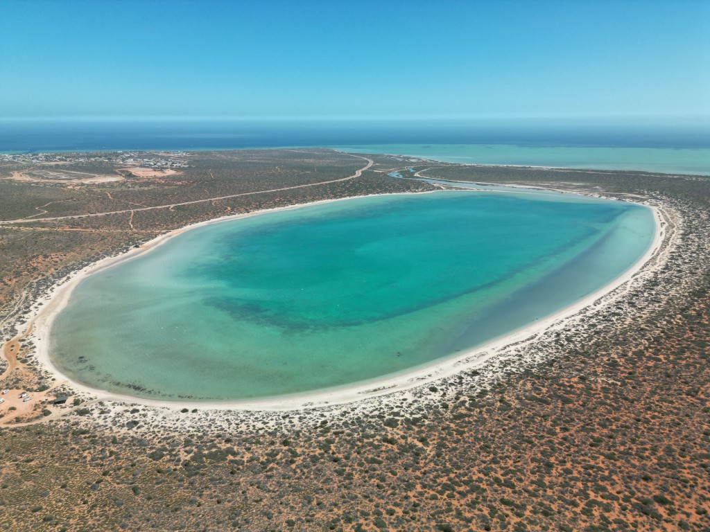
Little Lagoon is a tidal pool, five kilometres north of Denham. The lagoon is a popular picnic spot.
We often had our morning coffee on the esplanade in the main street of Denham.
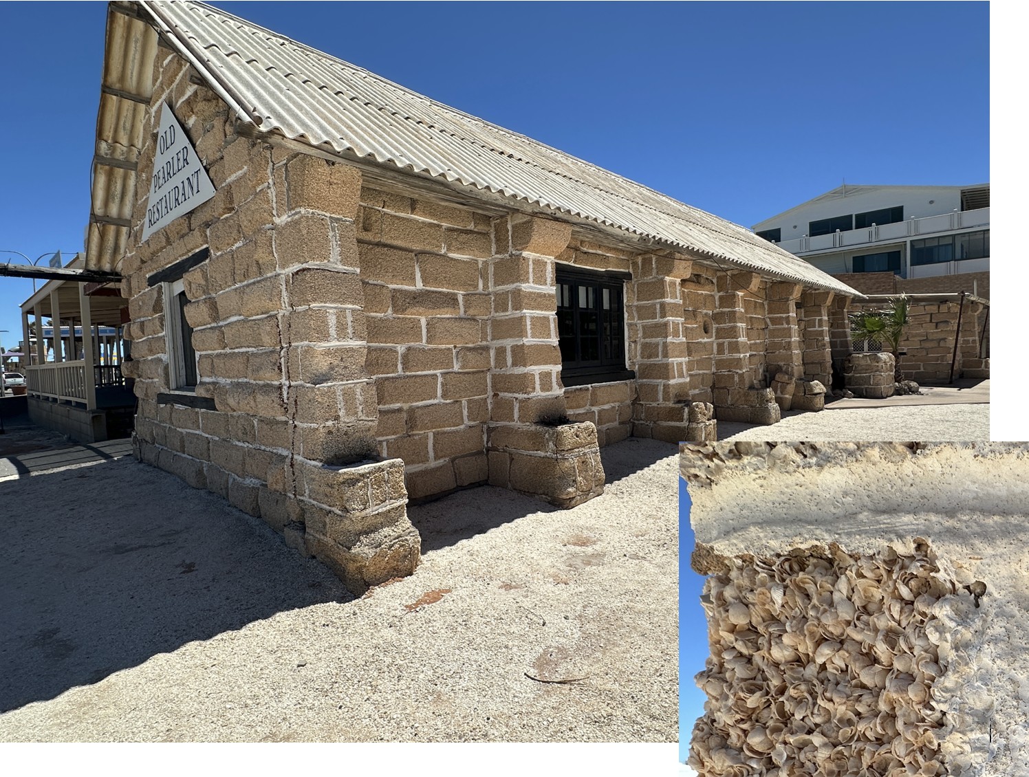
From the caravan park to the esplanade, we walked past the Old Pearler Restaurant. This restaurant was built in 1974 and is the only restaurant in the world constructed entirely of coquina shell blocks.
Emus often roamed the Shark Bay esplanade during our visit.
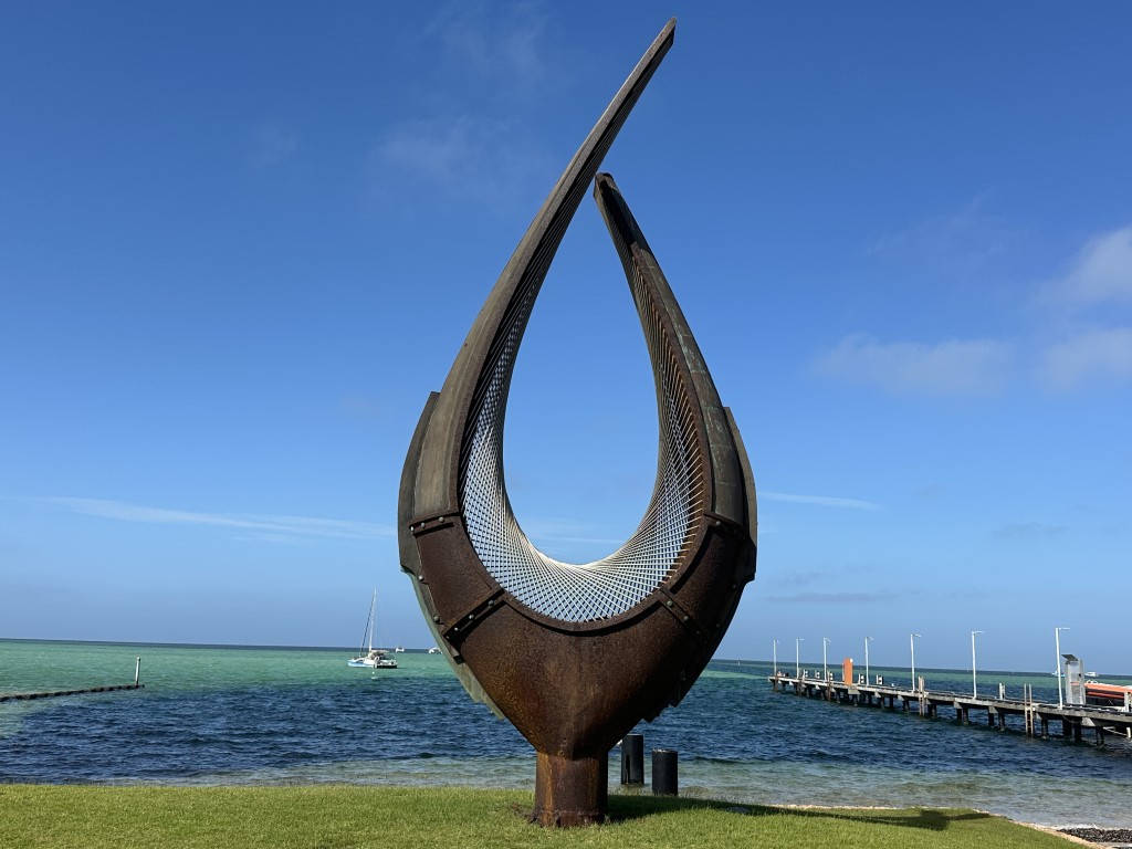
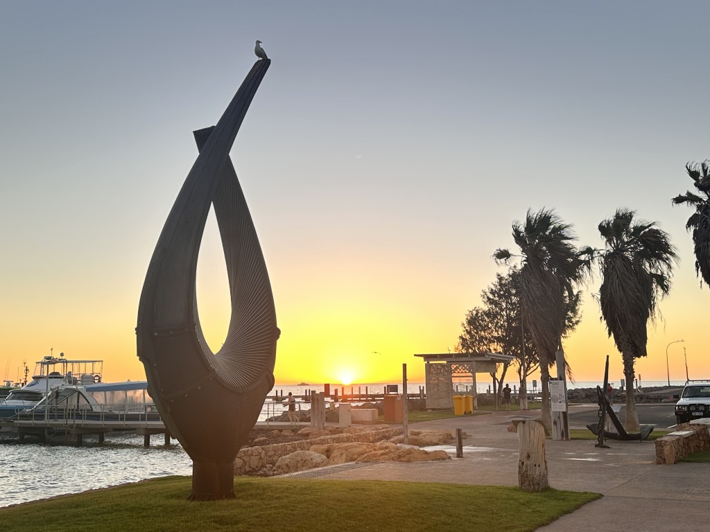
The Hartog Sculpture on the foreshore is six meters high and weighs four tonnes. This artwork was created by sculptors Nicole and Alex Mickle to commemorate the 400th anniversary of the explorer Dirk Hartog’s landing. In 1616 Dirk Hartog on his ship Eendracht was the first European to explore and record the west coast of Australia. The sculpture was unveiled in 2016.
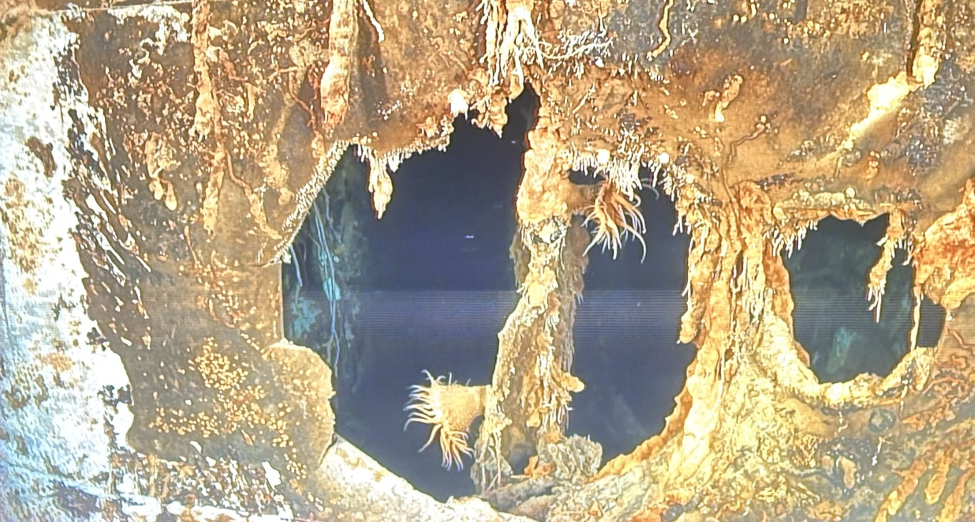
The local visitors centre has a 3-d film “Fire on the Water” explaining the battle between the Australian naval ship HMAS Sydney and the German raider HSK Kormoran. The 17 minute 3-d film takes you down into the wreckages explaining the fatal few moments before both ships went down.
As we had an extended stay in Denham, we could organise a few deliveries to the local Australian Post. In addition to a few essential deliveries, we were spoiled with a package from our home in Brisbane
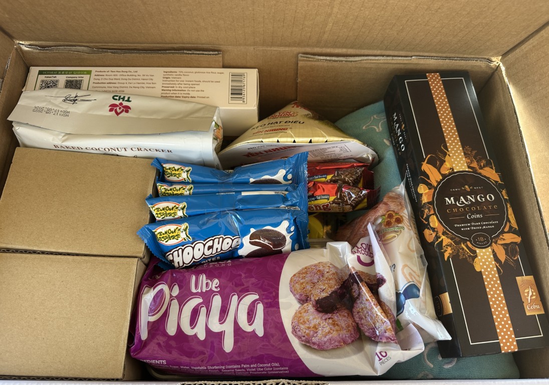
We also enjoyed a few great sunsets from the Denham foreshore.
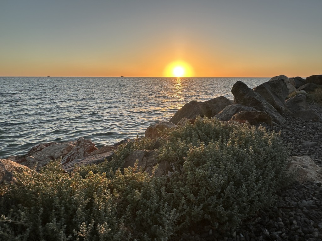
As the sun sets, everything slowed down around the Hartog Sculpture, with only a few fishos strolling along the shoreline and onto the jetties.
The war in Iran and its effect on fuel prices became apparent in Shark Bay. The prices increased by 20 cents each day and diesel was slowly starting to run out. Surrounding farmers, fishing trawlers and tour operators started stocking up on diesel. We often saw 1000 L trailers being filled up at the pumps. It got to a point where none of the three service stations in Shark Bay had any diesel.
Our car and two jerry cans were filled to the brim. The fuel in the car and the jerry cans were just enough to get us out of the Shark Bay area and back to the next major town. We stopped all our exploring and any unnecessary driving,
In addition to the fuel shortage, Cyclone Narelle was forecasted to come down the west coast of Australia. Looming evacuations became a real concern.
This was very unfortunate as we were keen to explore Francois Peron National Park and Steep Point, the most western point of mainland Australia. On the bright side, Shark Bay must be one of the better places in the world to get stuck. We really enjoyed our stay in Denham.
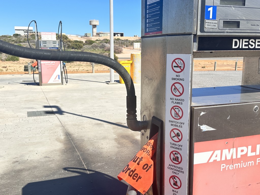
It was a relieve when we saw the first diesel delivery truck rolling into town. Despite the exorbitant price for diesel, we immediately got ready to explore Francois Peron National Park the next day.
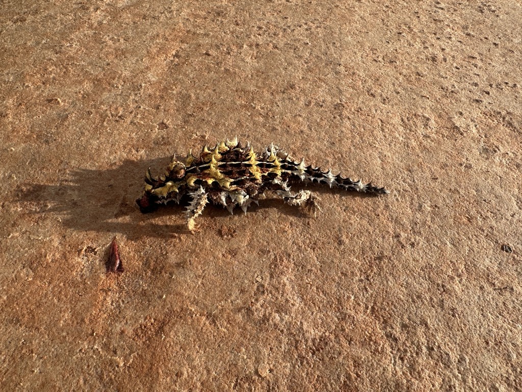
We left early in the morning and not far into the park, we saw our first, and long awaited, thorny devil.
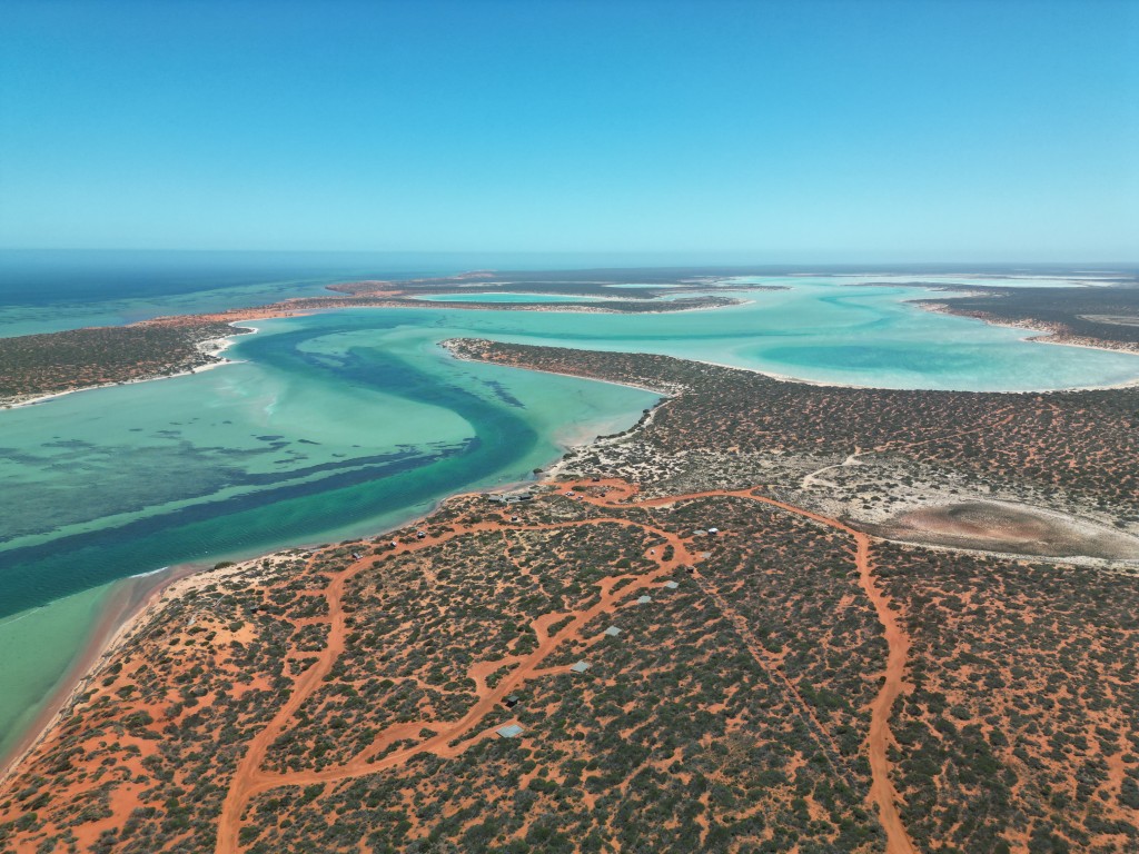
The red cliffs, white beaches and turquoise water of Francois Peron National Park was different to anything we have seen on our travels. Places of interest in the park are linked with soft boggy sand tracks.
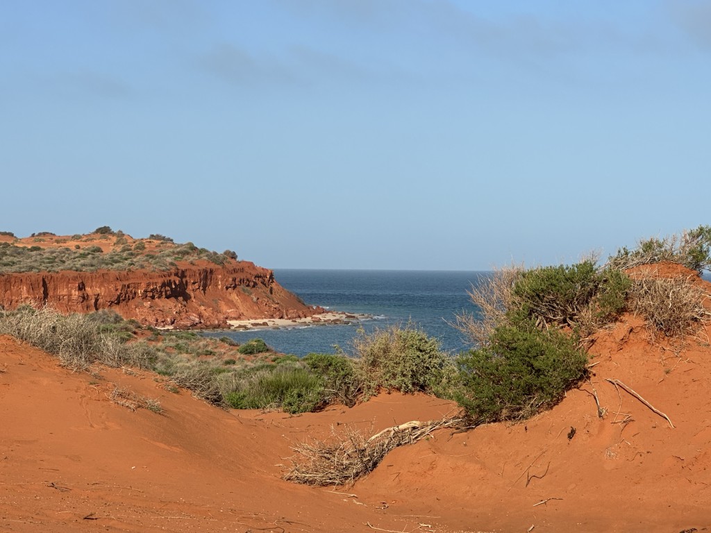
The point at Cape Peron was our first destination. We were welcomed by a herd of goats on the cliffs. Looking down, we could see the passing marine animals.
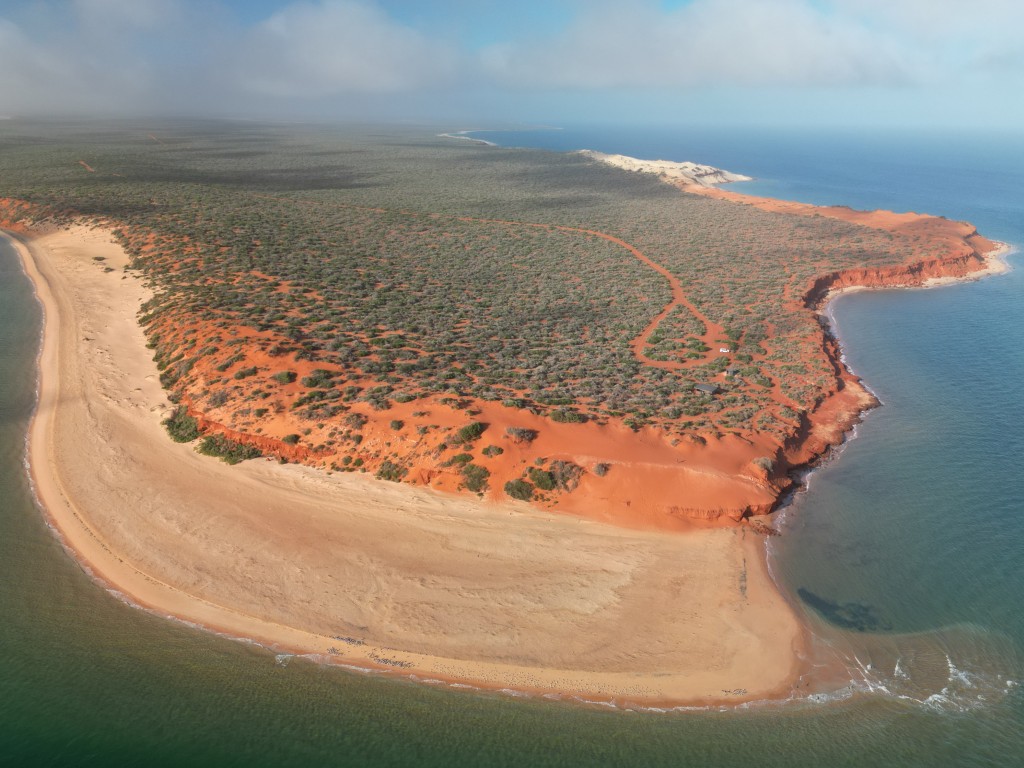
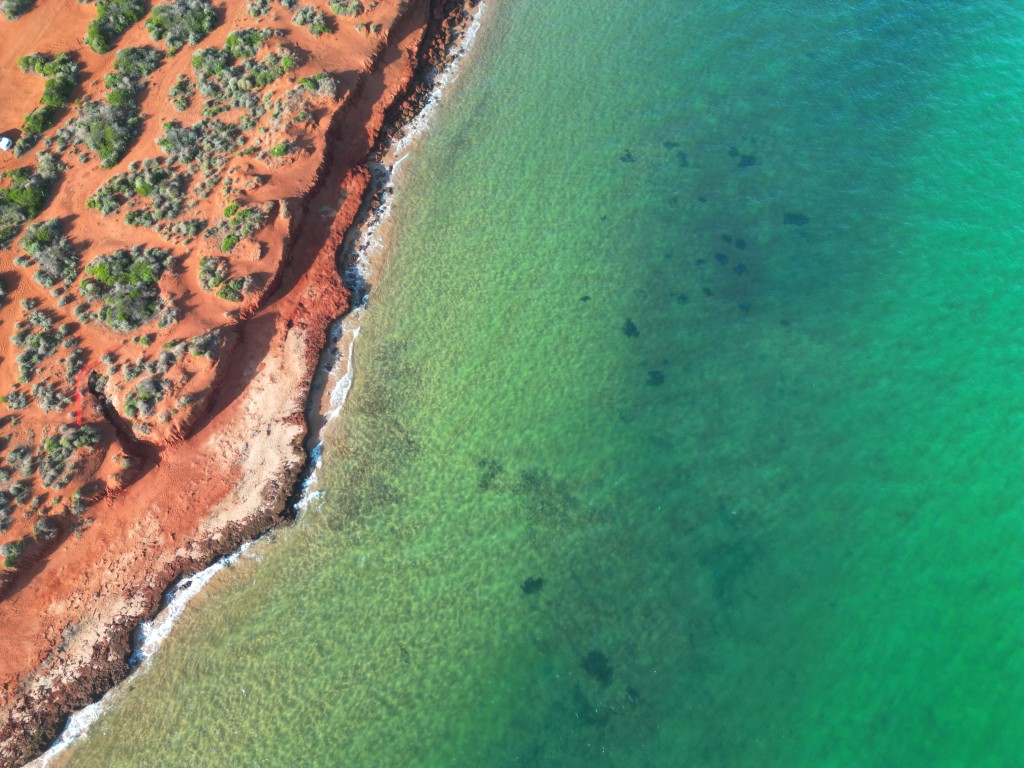
We could not get enough of the red desert cliffs crumbling into the ocean at Cape Peron.
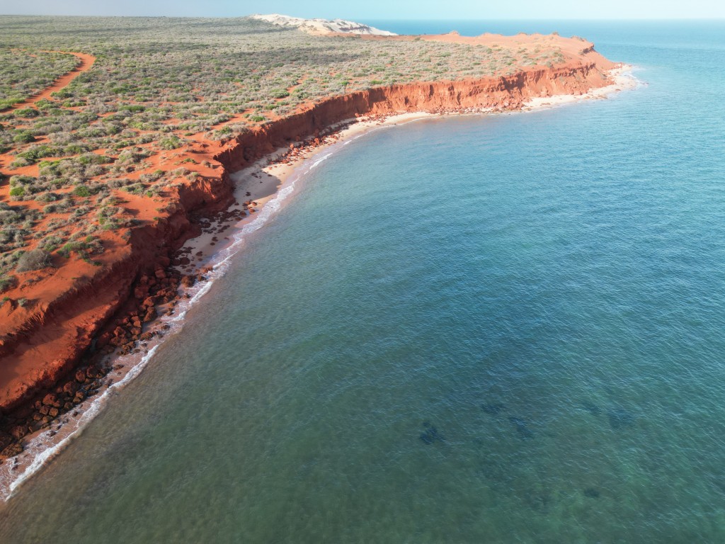
Our next point of interest was Skipjack Point in Francois Peron National Park. The point had a great wild and marine life observation platform.
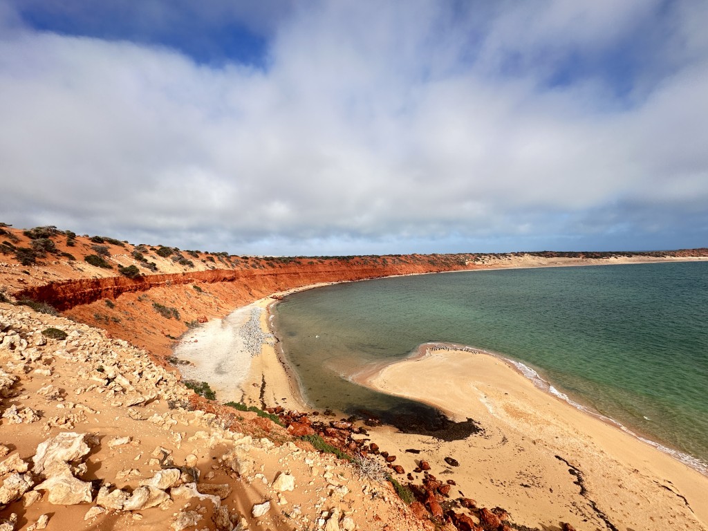
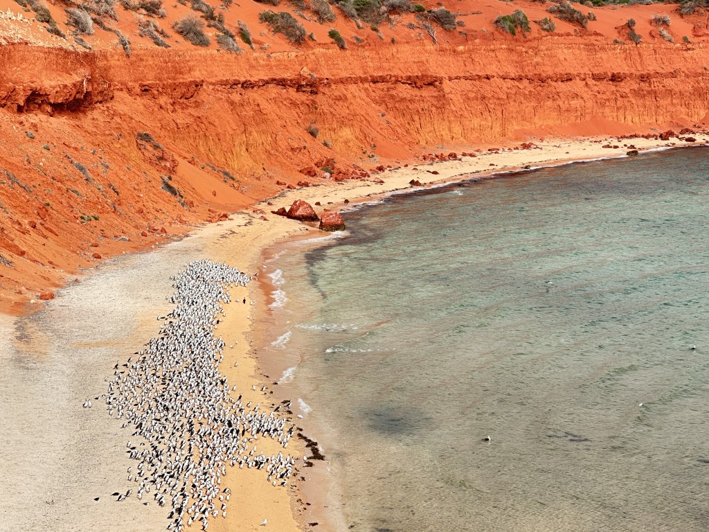
A massive colony of cormorants were basking on the beach and hunting the shallows at Skipjack Point.
From Skipjack Point we started to turn back to visit all the small beaches on the way. Gregorys is a beachside camping area. We stopped for a nosey and a walk on the beach.
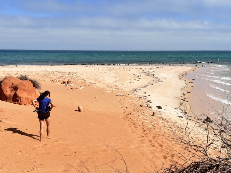
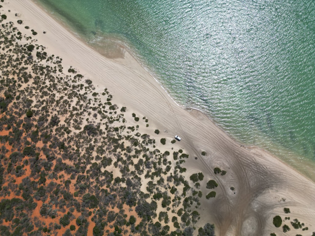
We did some beach driving at Bottle Beach. A soft, boggy sand entrance took us straight onto the white beach.
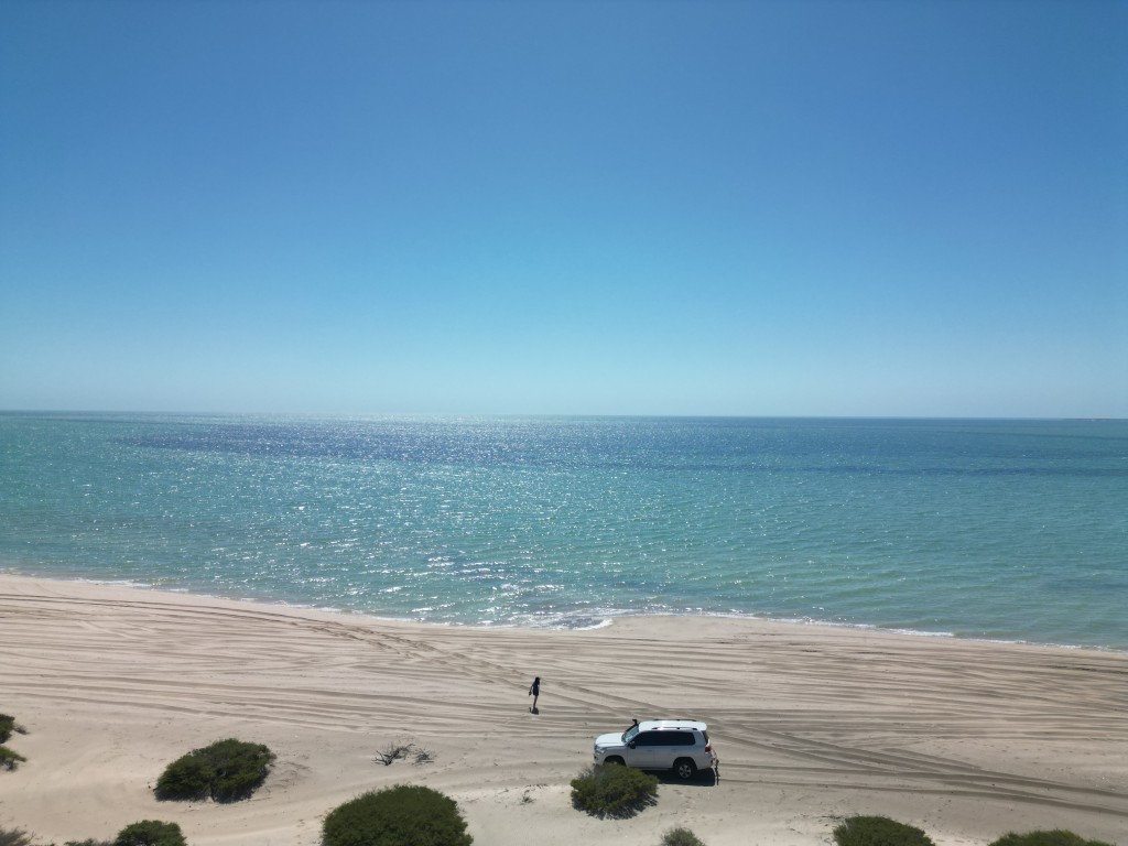
We did not get tired of the contrast between the desert sand, white beaches and turquoise water.
Around lunchtime we arrived at Big Lagoon Picnic Area. The picnic area has well developed boardwalks, BBQ’s and seating areas. We had lunch overlooking Big Lagoon.
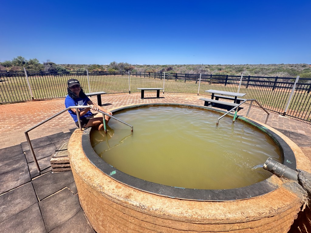
Our last stop in Francois Peron National Park was the Peron Homestead. The homestead has a museum with information of the local area and the animals calling it home. Behind the museum is an artesian hot tub. With water at 40°C, there was no cooling off in this tub.
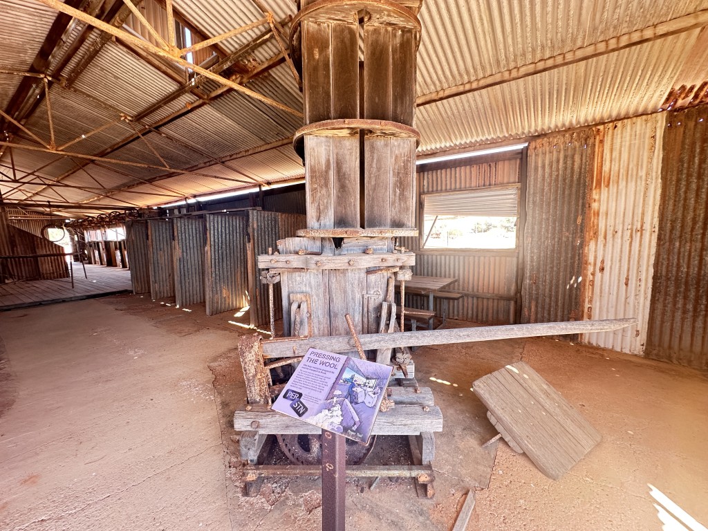
The Peron homestead conserve a few old farming artifacts dating back to early settlement. The old wool press was well preserved inside the old shearing shed.
After a big day in Francois Peron National Park and many soft sandy tracks we only used 40 L of diesel but decided to top up at Denham before going back to the caravan. At this point the forecast of Cyclone Narelle started to get firmed up for a potential landfall in our area.
We still wanted to visit Steep Point and realised we need to get it done as soon as possible.
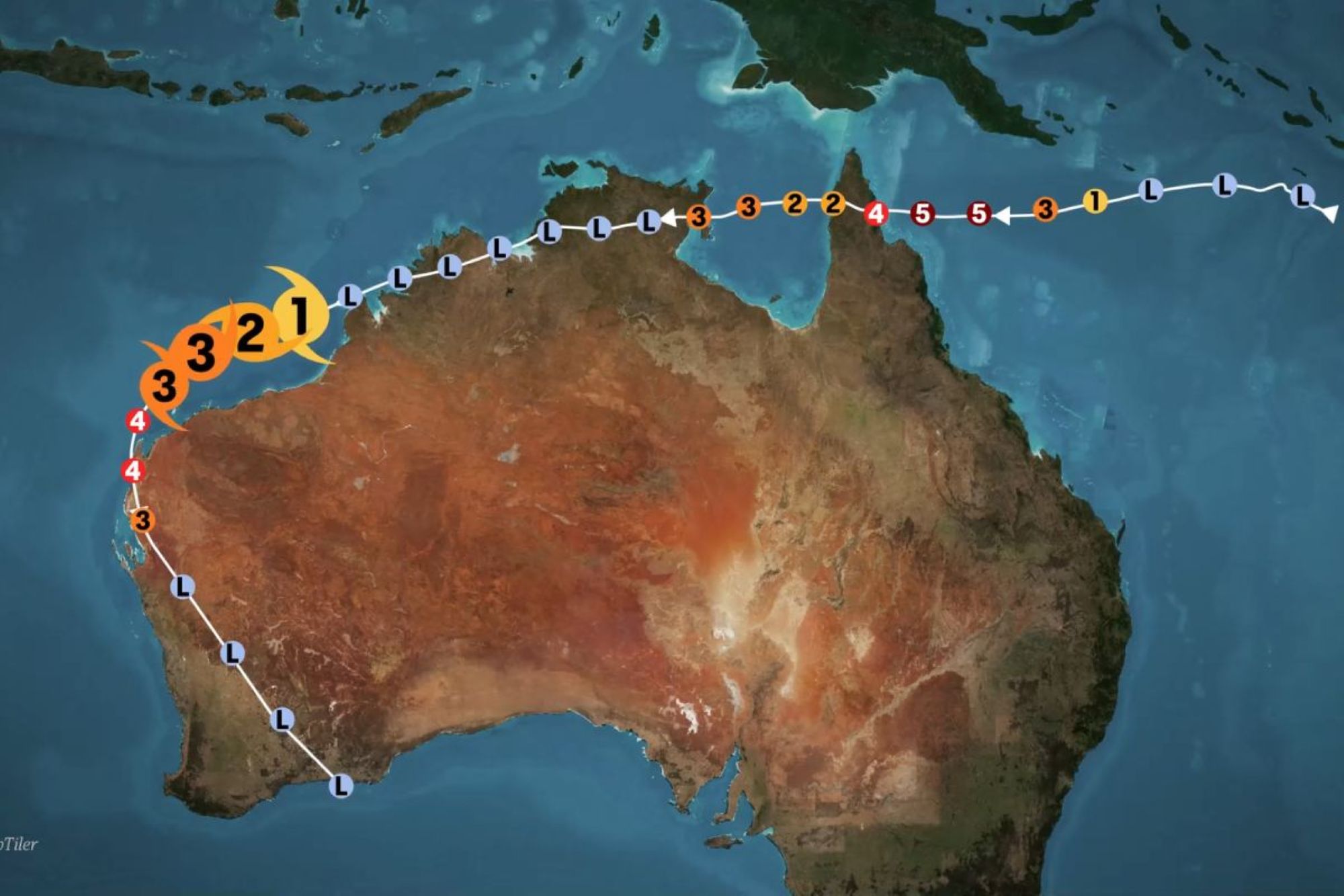
Fuel availability and prices as well as the cyclone started to become a real threat to our travel plans.