
Our next trip takes us to the most northern tip of Australia.
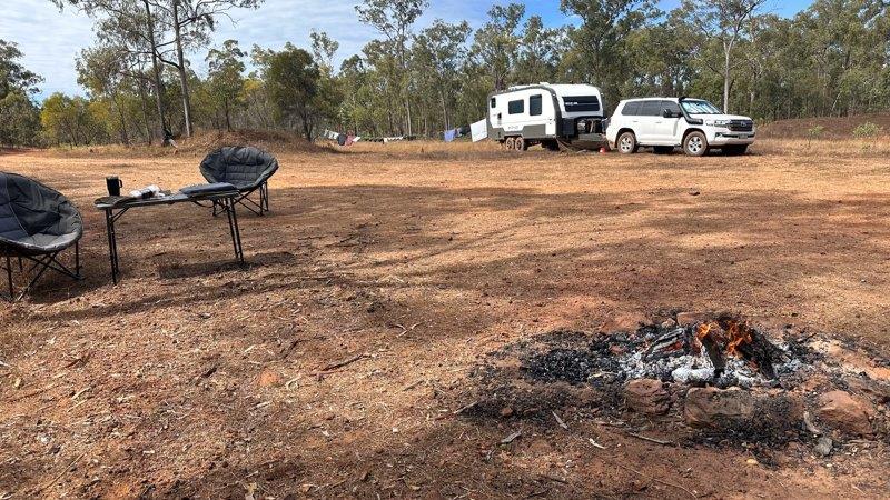
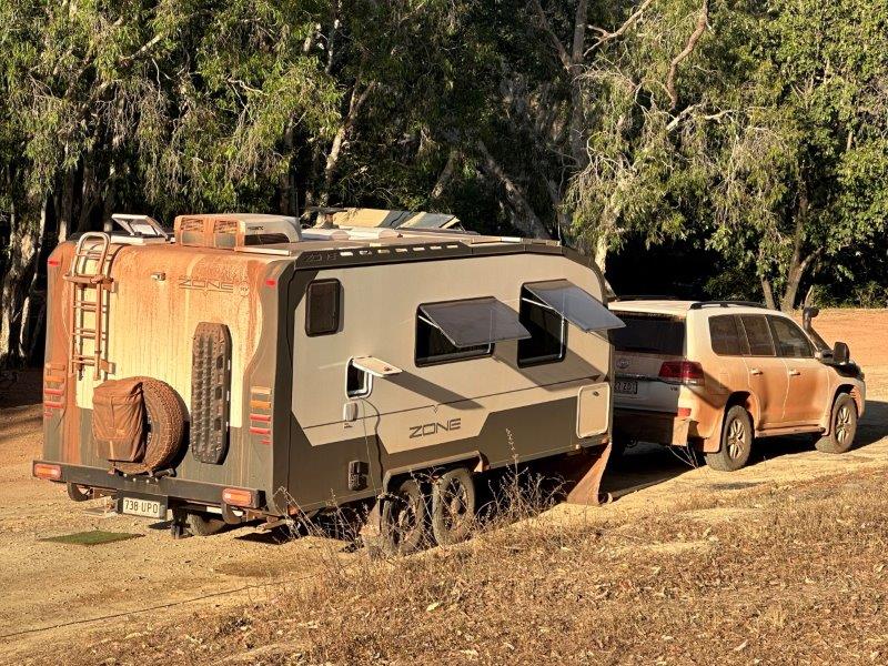
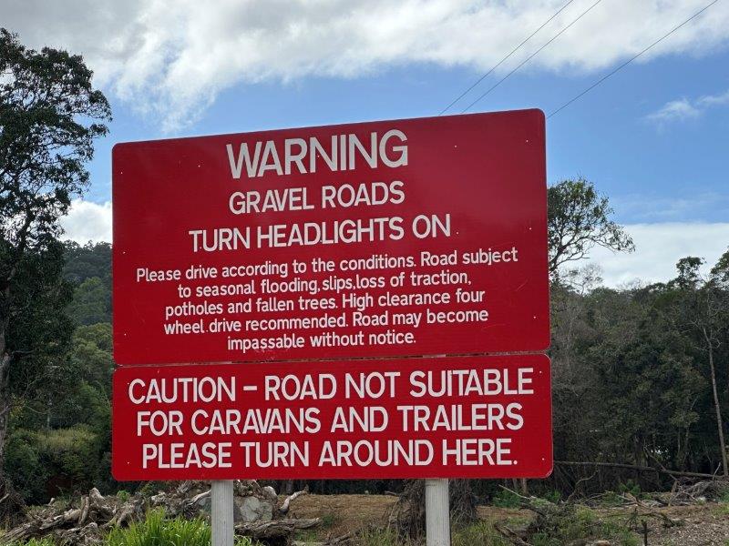
We started our trip up Cape York, from Lakeland. We fueled up and headed north to Laura where we had easy access to fill our water tanks. Just past Laura, the dirt road started and we stopped at the first available campsite. We stayed for two days at this camp to get the car and van ready before starting the dusty corrugations. It was also a great time to do a load of washing. We dropped the tire pressures to 25 psi on the car and the van.
We had a relaxing few days and with firewood readily available, we had a few great campfire cook ups.
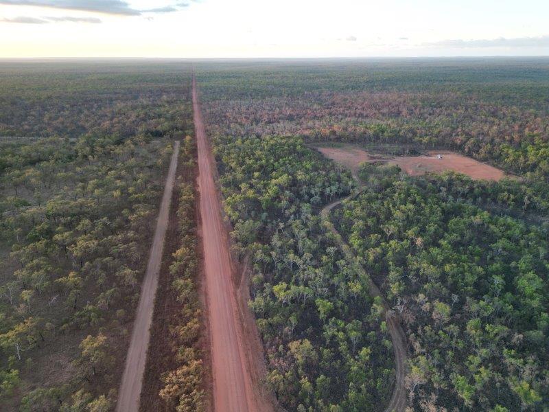
From this camp we headed straight north. The road north was mostly a gravel road with intermittent stretches of bitumen. These short bitumen strips provided a much needed relief from the dust and the corrugations, and was conveniently placed whenever we started contemplating turning back.
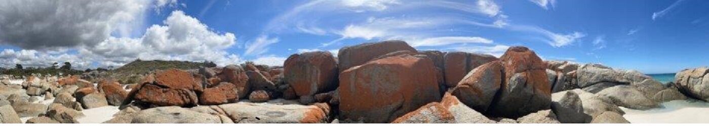
Just south of Archer River we did the Boulders Tourist Drive.
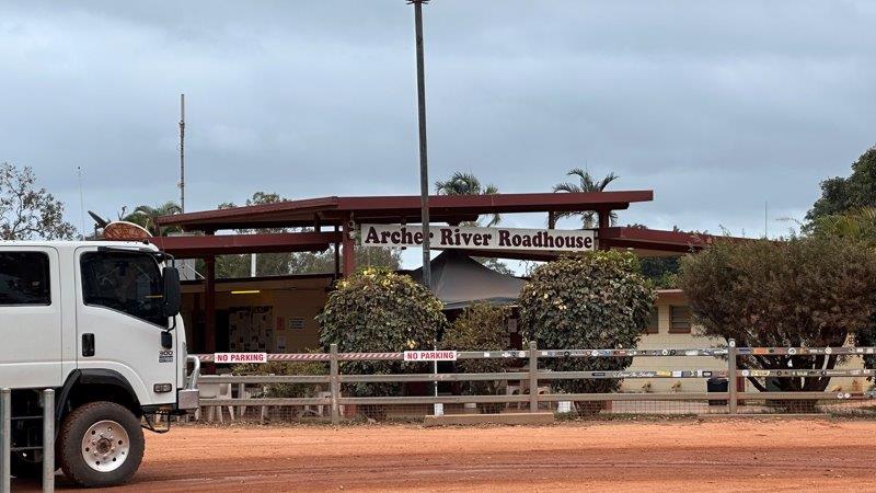
There were significant roadworks at the Archer River Roadhouse to replace the bridge across the river. The initial roadworks were estimated at $32m and has blown out with $100m, due to geological challenges. Only a few travelers visited the roadhouse as most people just wanted to get through the roadworks as quickly as possible.
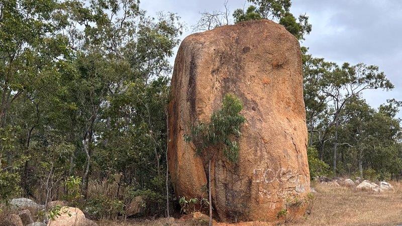
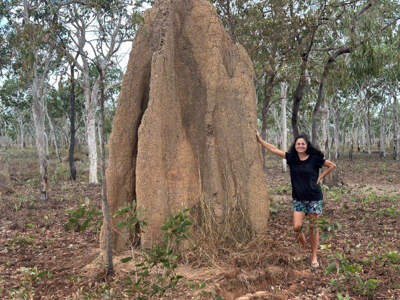
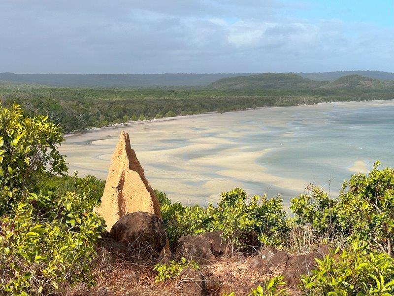
Termite mounds up north, are massive.
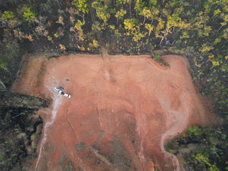
We stopped over at Coen for one night to get fuel and water. The next morning we started early and stopped at a gravel pit on the way to Wenlock. We spent two nights here and had dingoes visiting every night.
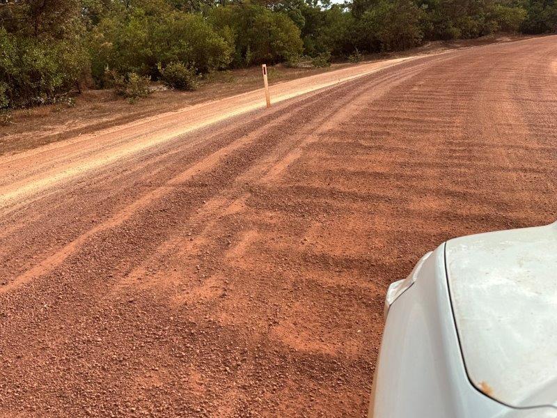
After two days we were straight back in the dirt and corrugations. We were convinced the road got worse as we travelled north.
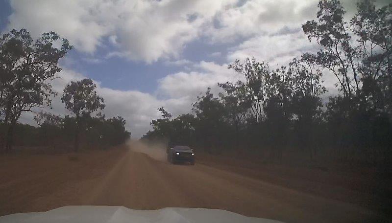
There was not much traffic on the road. Oncoming vehicles churns up a dust cloud leaving the road ahead temporarily invisible.
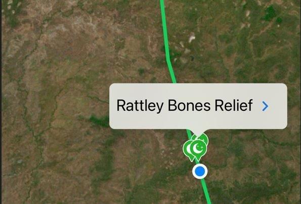
We drove past a campsite named Rattley Bones Relief. This name will only make sense to those who have driven these relentless corrugations.
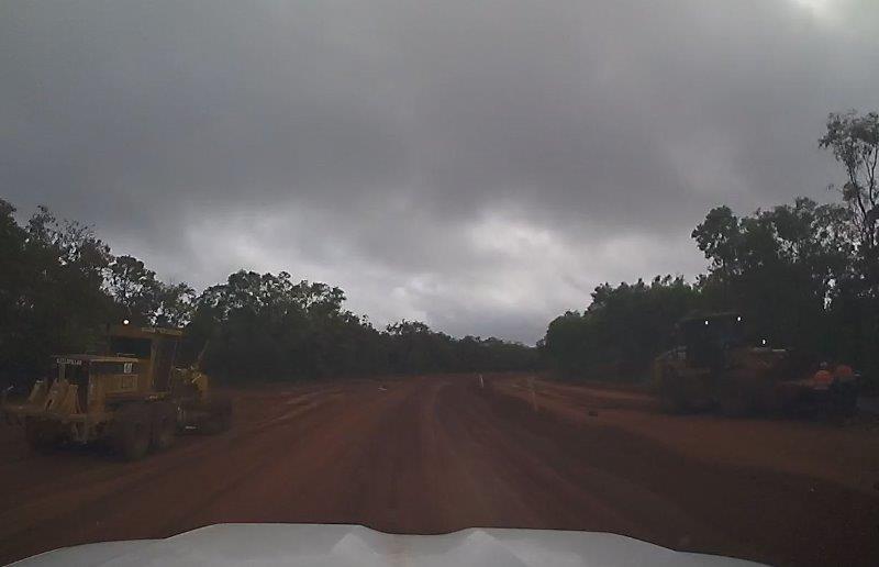
We were excited to see graders rebuilding sections of the road.
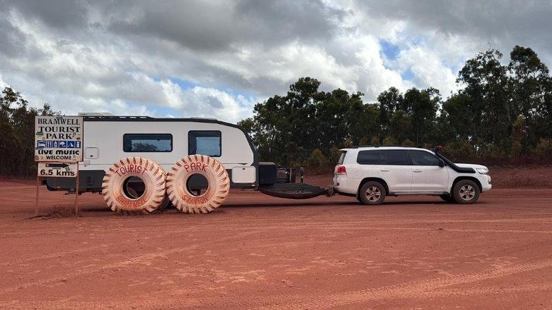
We passed the turnoff to one of Cape York’s iconic camps, Bramwell Tourist Park.
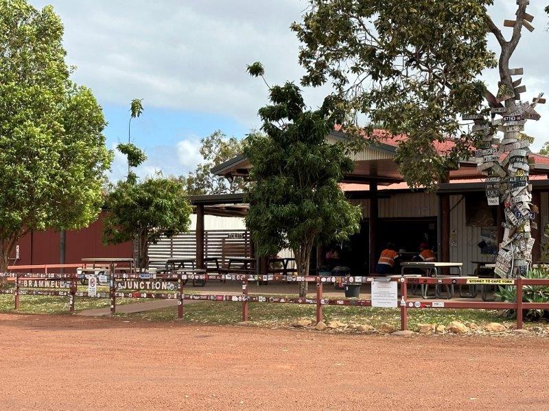
We stayed the night at Bramwell Junction Roadhouse. Late in the afternoon the Jeep Club came rolling in, on their way back from the tip. This was a great opportunity to get some first hand information from returning travelers on the road condition ahead.
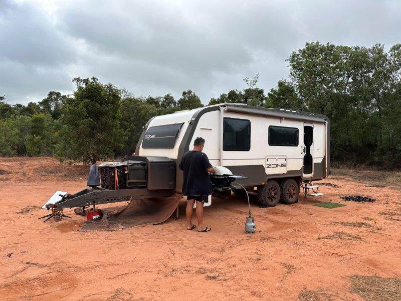
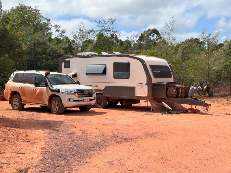
Our next camp was on the Old Telegraph Track (OTT). We based ourselves next to the track for three days. The camp is called Gravel Pit (OTT South).
During this time we did sections of the track and visited a few waterfalls.
With the clouds rolling in, we opted for a gas BBQ rather than a campfire.
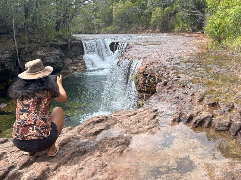
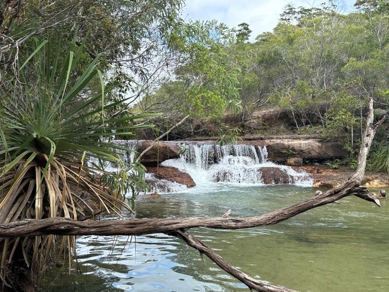
The first waterfall we visited the next morning was Fruit Bat Falls. We had the falls to ourselves for the first 30 minutes with ample time to immerse ourselves in this oasis in the middle of the dusty tracks. We were surprised to find such a beautiful waterfall in this rugged environment.
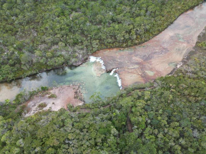
At the bottom of the waterfall is a massive pool where you can while the day away.
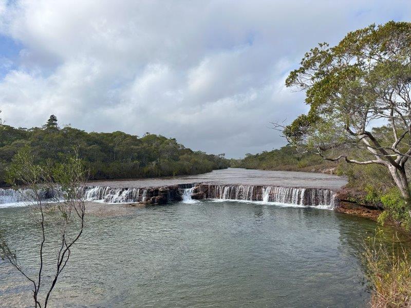
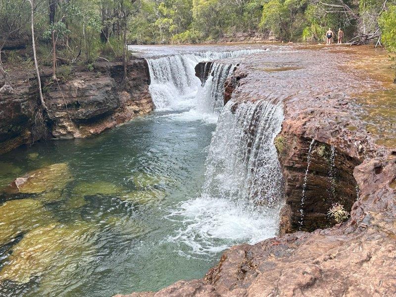
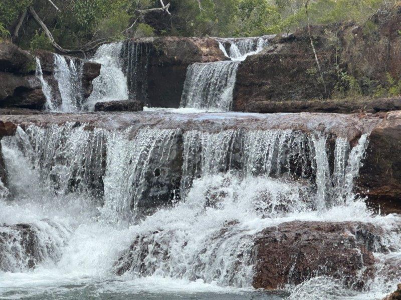
The next section of the OTT took us to Elliot Falls and Twin Falls. On the way, we crossed Scrubby Creek. The banks of the creek were steep with massive bog holes. Many cars turned back due to the condition of the track. We decided to push through. It is always better if you could keep all four wheels on the ground. 🙂
The waterfalls were worth the trip. Our first stop was Elliot Falls.
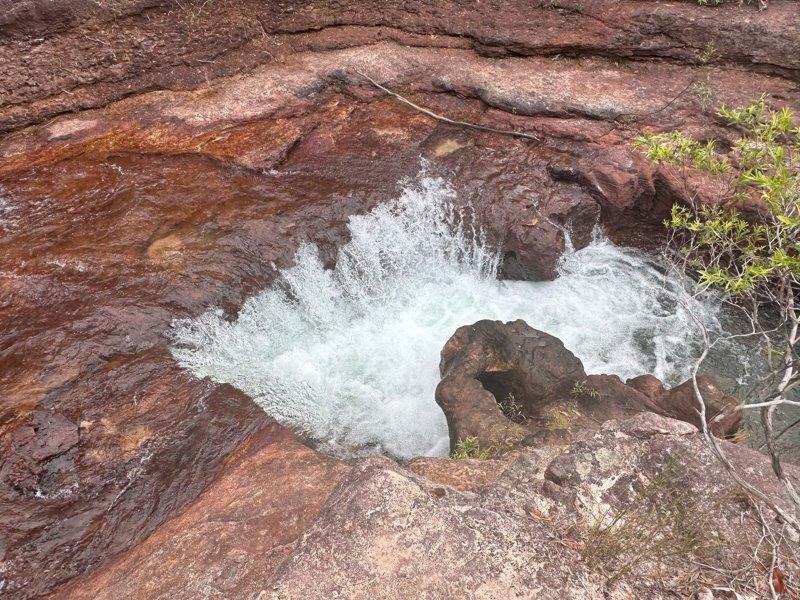
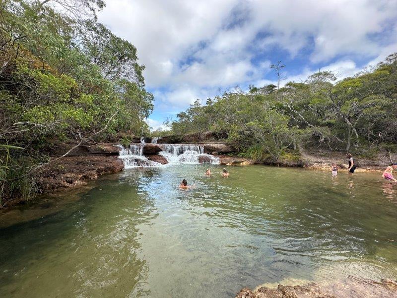
A short walk from Elliot Falls takes you to Twin Falls. To get to Twin Falls you can take the boardwalk or scramble along the rocky edges of the river. We chose the latter and were rewarded with beautiful scenery and interesting rapids.
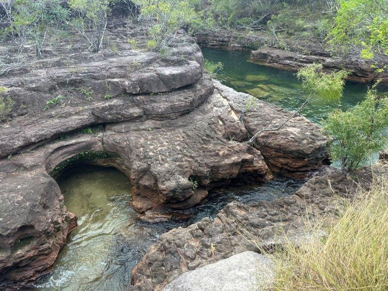
At the bottom of Twin Falls is a small waterhole providing a great spot to cool off.
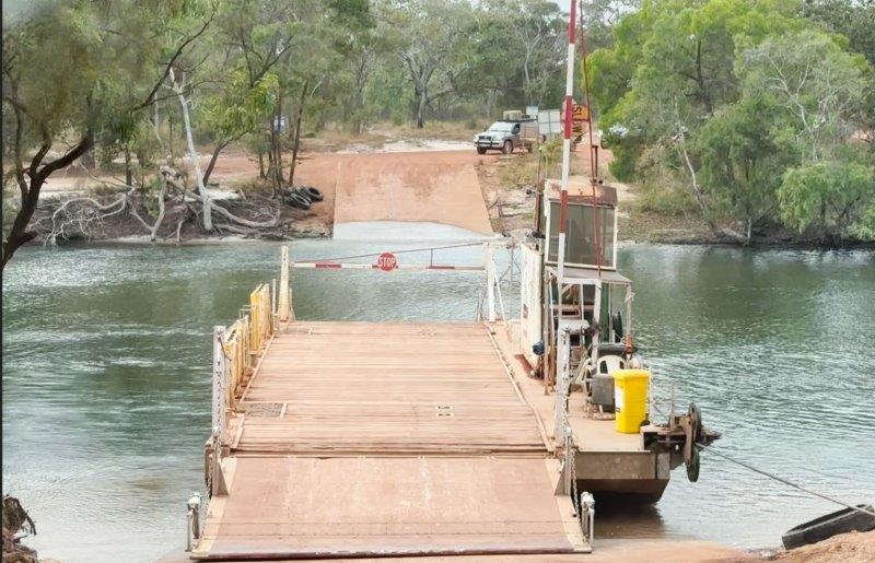
After visiting the local waterfalls we headed further north to the tip. Crossing the Jardine River was our next milestone. Don’t get fooled by the fuel bowsers, there is no petrol or diesel available at this servo. We had to stop at the servo to pay for the ferry that took us across the river.
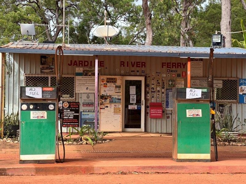
We paid over $200 for the 140m ferry trip (2024) to take the car and the van across the Jardine River. To be fair, our rig just fitted on the ferry with no space for any other cars. The approach and departure angles on the ferry were quite steep and we heard the towing safety chains hitting the platform of the ferry.
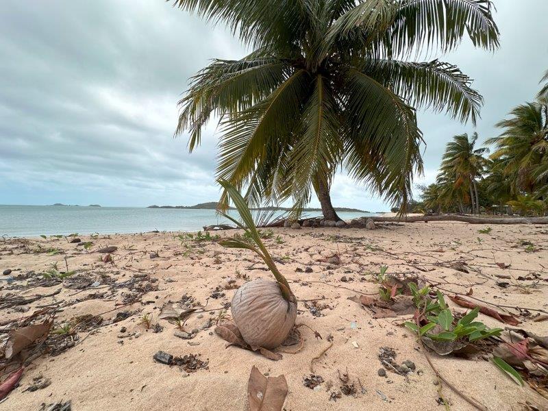
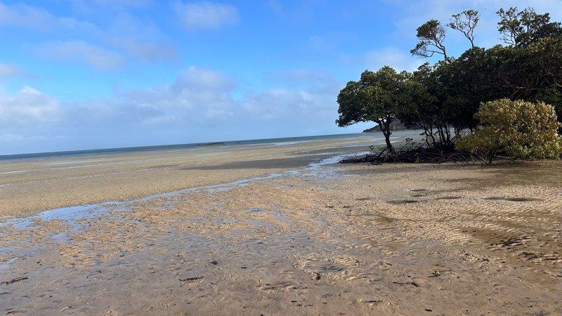
Paradise started on the other side of the Jardine. It was great to be back on the beach! We decided to base ourselves at Seisia Holiday Park. The campsite is on the beach with the sun setting over the water.
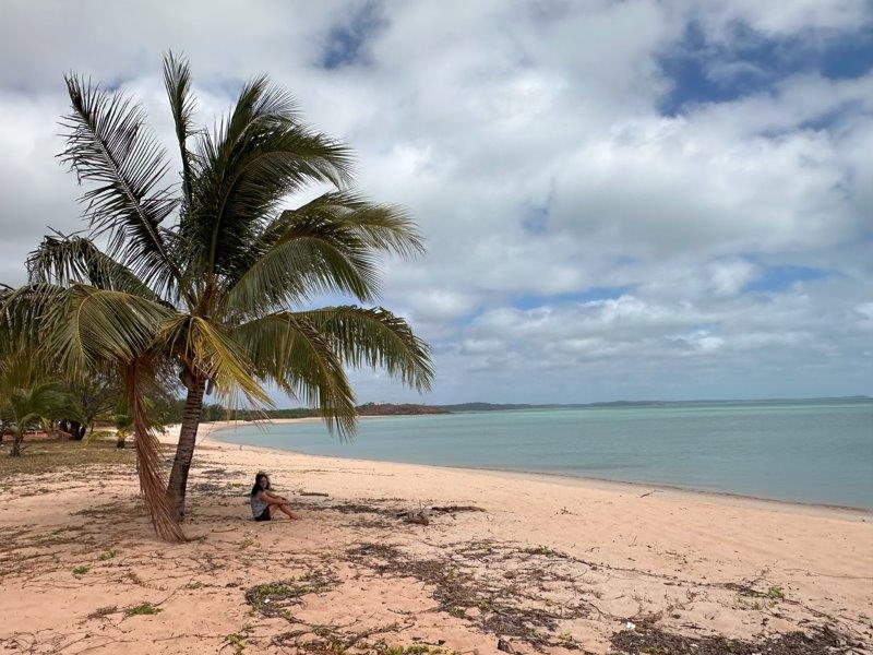
We stayed in the unpowered section where we had great solar and access to tap water next to the van.
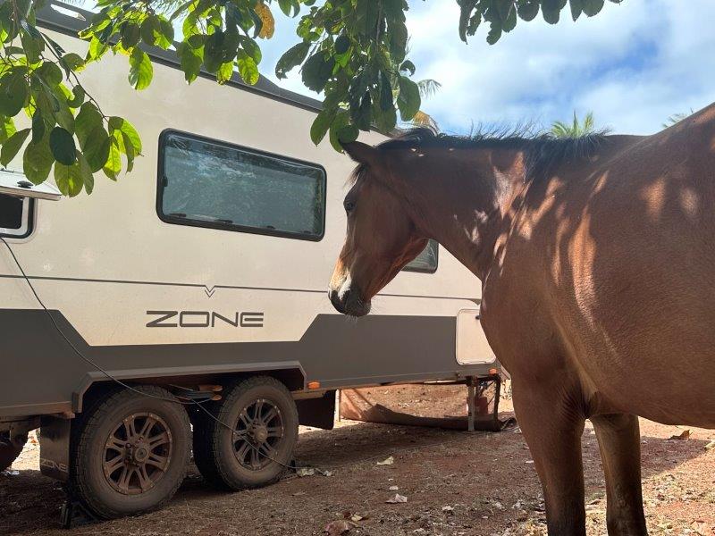
There were even a few friendly visitors.
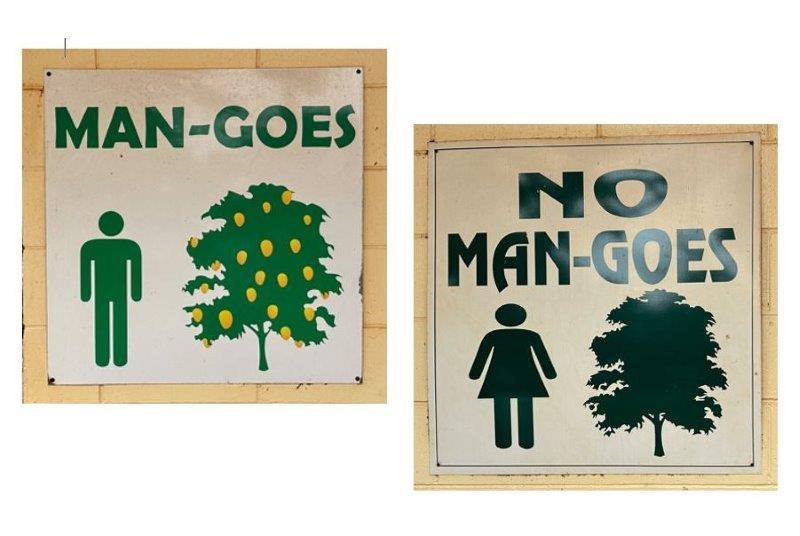
If you use their amenities, be sure to “goes” to the right one.
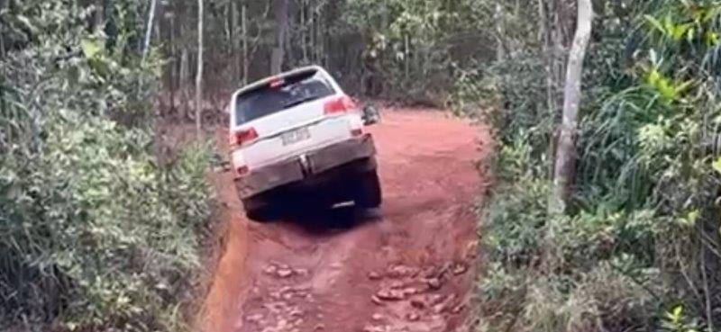
We did a day trip to Punsand Bay. The road to Punsand Bay has a water crossing. The water was not too deep, but deep enough to touch the top of the wheel arches.
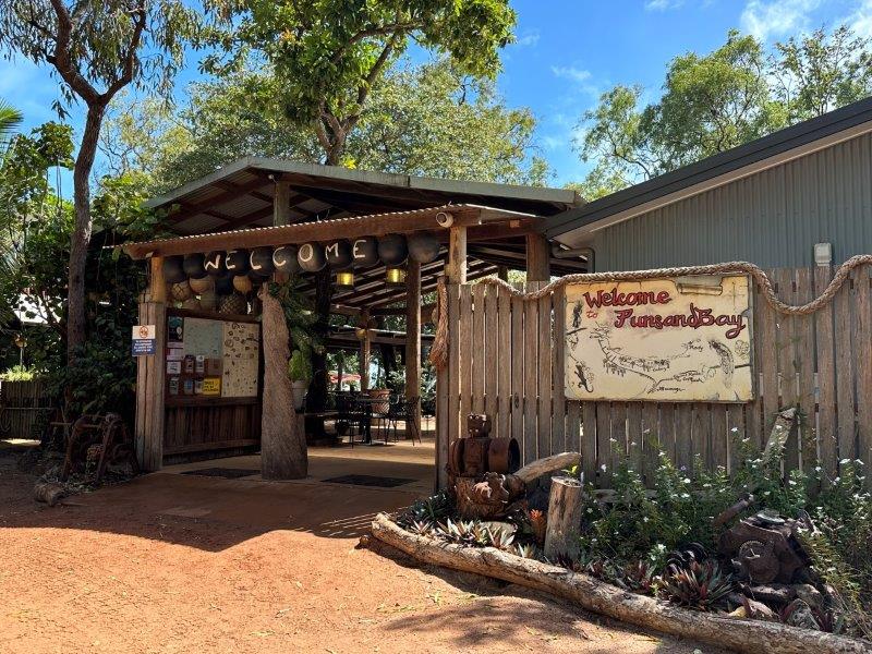
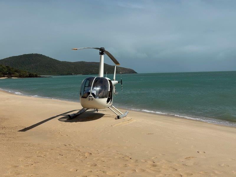
Punsand Bay camp is also on a tropical beach but more commercial than Seisia. Punsand Bay has a great restaurant and bar. It also offers chopper fights to the tip.
The next morning was the day we were hanging for. The trip to the tip.
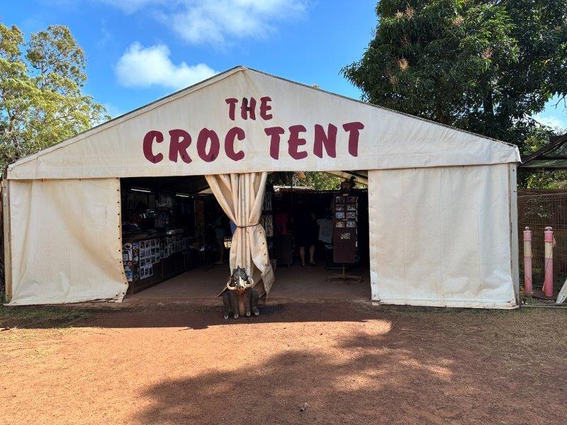
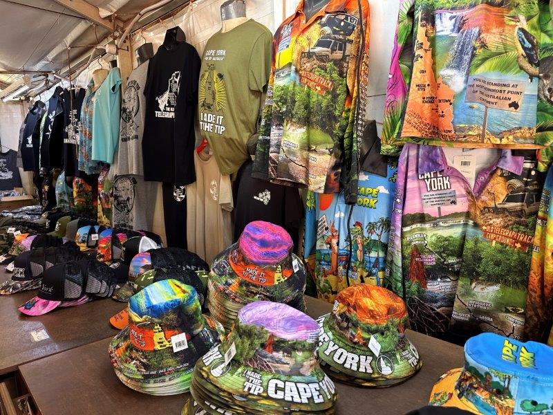
Our first stop was The Croc Tent. This is where travelers buy their merch for their photos at the tip.
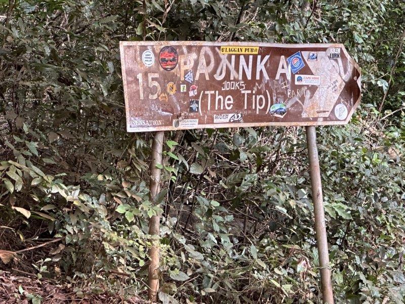
After The Croc Tent, we traveled the last few kilometers to the tip on the Pajinka road.
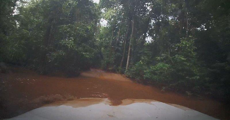
In true Cape York style, we had another unexpected river crossing. This crossing was much deeper and submerged the engine, spilling water over the bonnet. In these situations the raised snorkel on the air intake, is reassuring.
After stopping at the tip’s car park we had to walk to the tip. On low tide you can choose between walking on the sand or crossing over the rocks. We arrived early in the morning at low tide and decided to take the beach track to the tip and return with the rocky track.
The beach track was extremely slippery when we walked it.
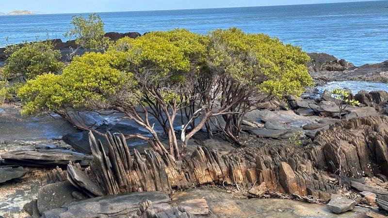
The scenery on the way to the tip, was great.
When we got to the tip, there was only one other family, about to leave. It was great to have someone else at the tip, to snap the moment for us. It was a sense of achievement to get to the most northern point of Australia after weeks of rattley bones and eating dust. We were at the tip for at least 40 minutes before the next visitors arrived and could really savor the moment.

On the way back we took the rocky track up the hill. We made our contribution to the rock pile, created by visitors.
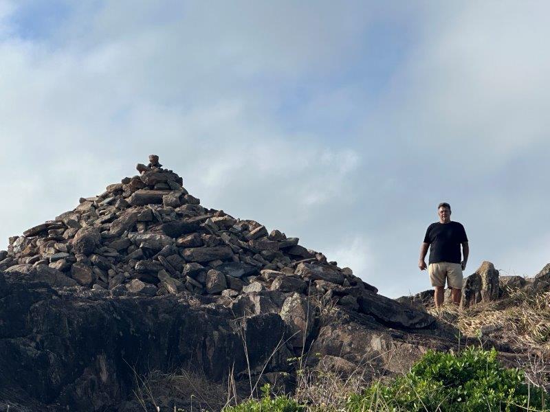
The views from the top were fantastic!
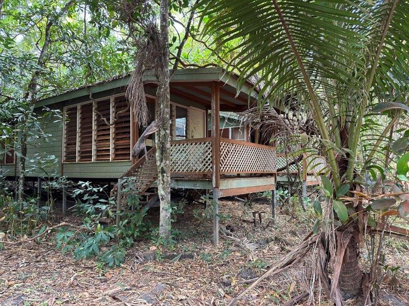
After leaving the car park, we stopped at the ruins of the abandoned Pajinka Wilderness Lodge. Nature was clearly winning this battle reclaiming the development.
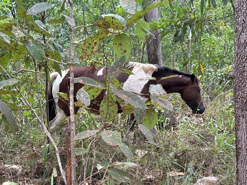
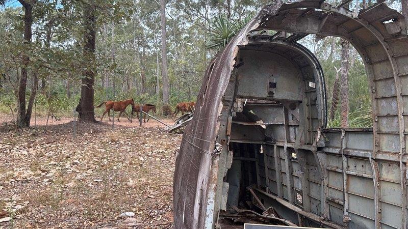
Wild brumbies roam this area and we saw at least 20 along the road.
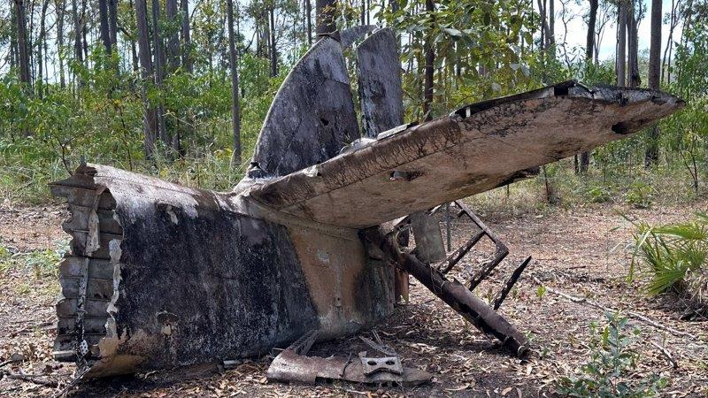
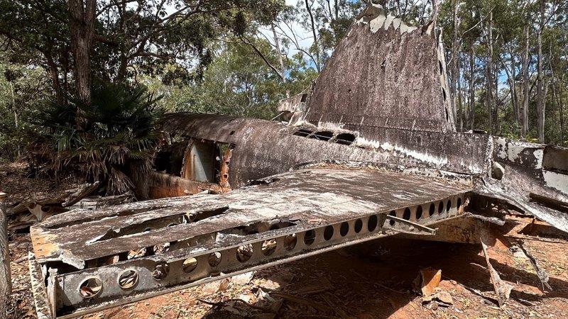
Cape York was also renown as its Air Force base during World War II. The tropical bush is littered with plane wrecks, as some planes were not able to land in the thick scrub. We visited three crash sites.
After brushing up on our history, we started the long road back, and were straight into the corrugations. During this Cape York trip we could clearly distinguish at least two types of corrugations based on the wavelength. With shorth wavelength corrugations, we could average 80km/h and float over the corrugations. We encountered long wavelength corrugation at four spots in the York where high speeds resulted in the drifting of the car and van. We had to slow down to between 20 and 30km/h. Luckily the long wavelength corrugations only made up approximately 30km of the total road.
After crossing the Jardine River with the ferry, we stopped at the same camp on the OTT we used on our way north.
We stopped at Bramwell Junction to fuel up.
We had a one-nighter at Wenlock before heading to the Coen River. We only spent one night at Coen.
The next day we headed south and stopped 16km shy of “civilisation”. With only 16km of dirt left, we decided to wash the car and van.
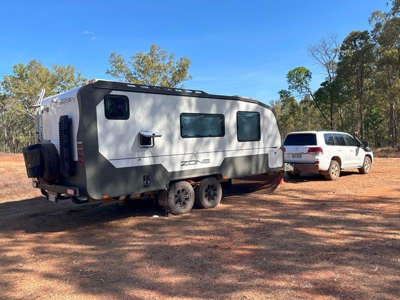
We were very impressed with how the caravan kept the dust out. The hatches have three seals and dust could only get past the first seal. We had more dust inside the car, than inside the van. We were very impressed that the van had no dust ingress despite not having a dust reduction system.
Apparently you can get your caravan out of Cape York, but you can’t get Cape York out of your caravan. This was the first of many washes to get things clean on the surface.
Once we returned to Lakeland, we headed east to the coast.
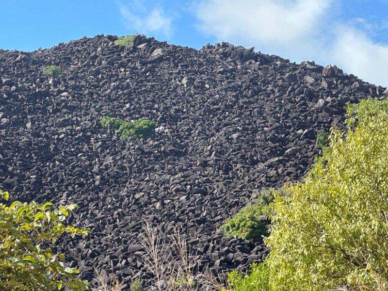
Black Mountain was our first stop. This mysterious mountain is known as the Bermuda Triangle of Queensland. Many quirky theories exist about the mountain and forces surrounding it. These range from horsemen and cattle disappearing to the electronics of airplanes being affected when passing over the mountain. The rocks were formed by magma flows. The algae growing on the rocks creates the black appearance.
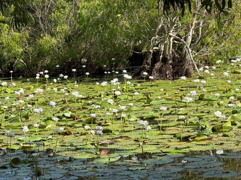
On the way into Cooktown we stopped at Keatings Lagoon Conservation Park. Some of the tracks were closed after the tragic death of a doctor, two days earlier.
Dr. David Hogbin was taken by a croc after the embankment of a walking track gave way and he ended up in the water, leaving his wife and three young boys behind.
We found it hard to believe that this tranquil surrounding hides such dark secrets.
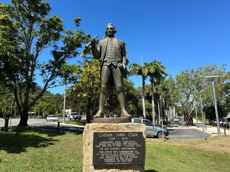
Arriving at Cooktown we saw a statute of the man himself, Captain James Cook. Cooktown had a trendy vibe to it with many backpackers and travelers lazing in the great local parks and shops.
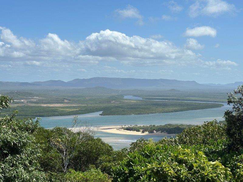
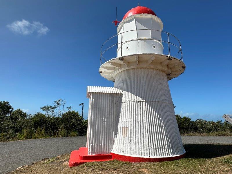
After we had lunch at a local seafood restaurant, we headed up to Grassy Hill Lighthouse.
This small lighthouse was almost demolished but saved after a local protest. The lighthouse was sold back to the locals in 1988 for $100.
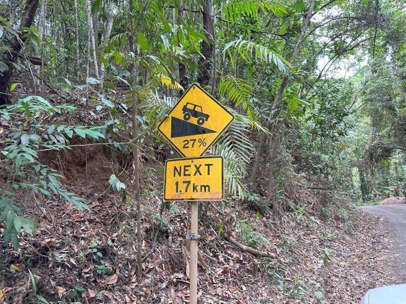
We stayed just outside Cooktown and after exploring the town we decided to do the Bloomfield Track. This track links Cooktown with the Daintree Rainforest and Cairns.
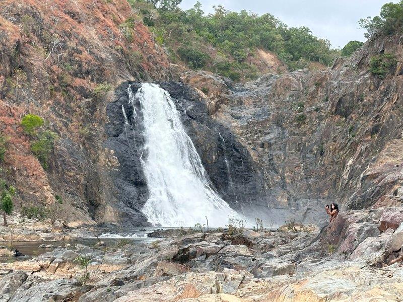
We followed the Bloomfield river to the Bloomfield Falls.
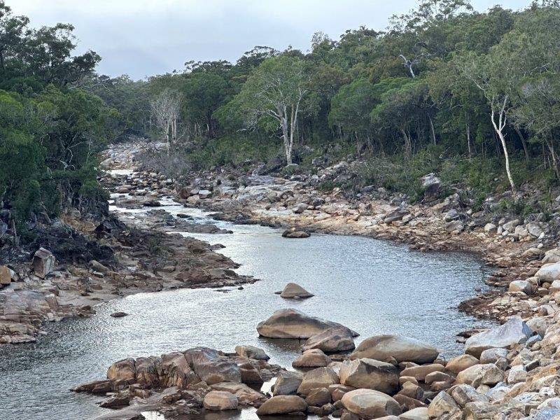
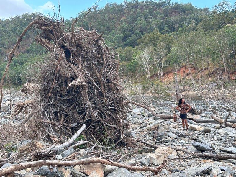
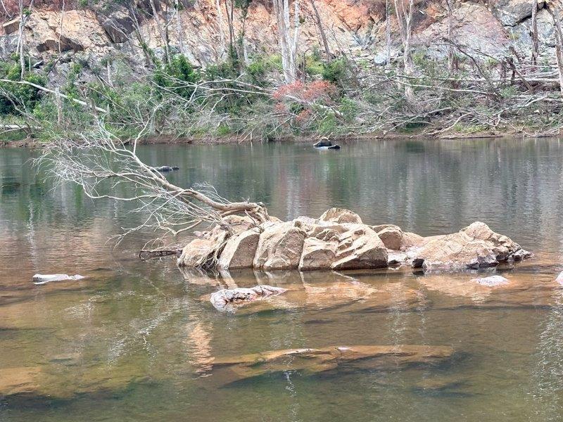
In late 2023 the river flooded. A wall of water cut off the local communities from the outside world. Many rescues and significant damage to properties were reported. The riverbed is littered with massive trees uprooted during the flood.
The Bloomfield Track starts close to the Bloomfield waterfall. The track is steep and dangerous when wet. There were massive warning signs at the start of the track and we soon found out why.
Some of the steep sections were concreted.
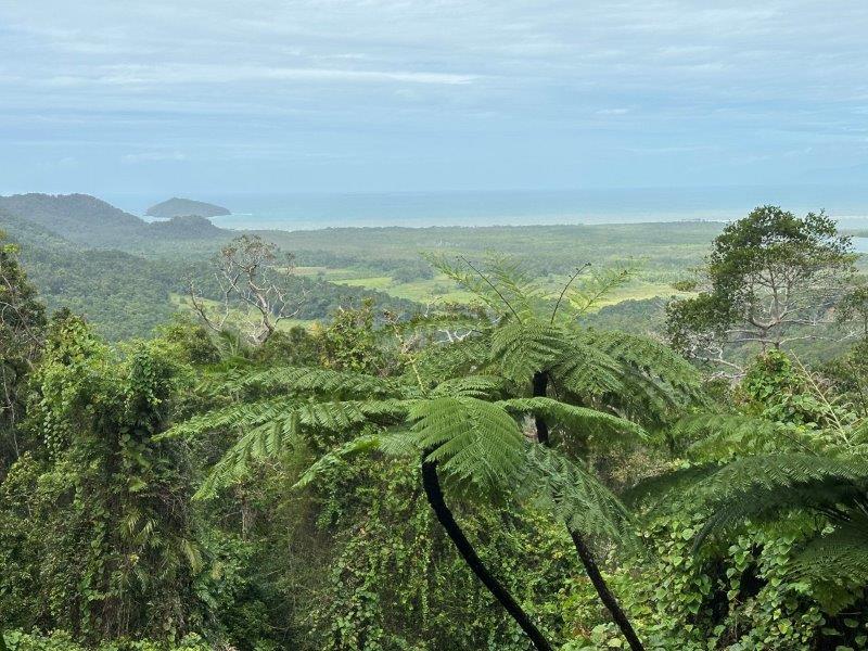
Despite the track being very narrow and steep at some sections, there were quite a few places to pull over and enjoy the forest and walking tracks. The views from the top were fantastic.
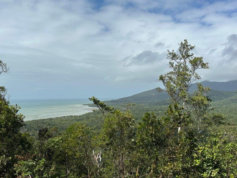
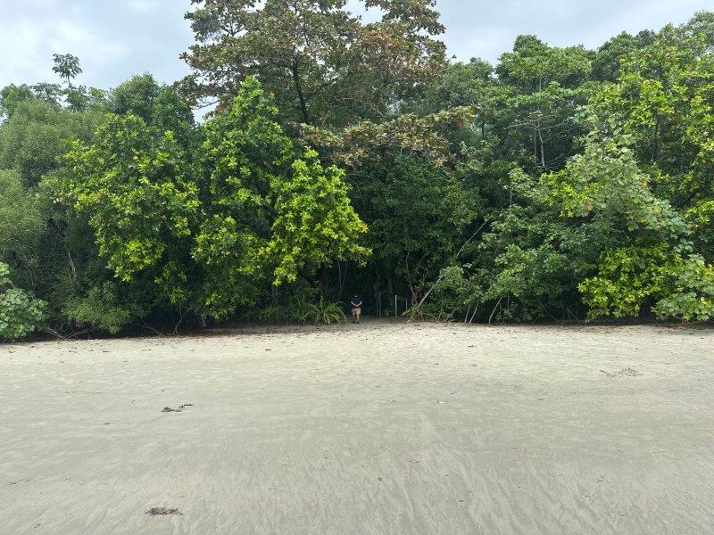
As we travelled south, past Cape Tribulation, the forest got denser with a few access points to immaculate beaches.
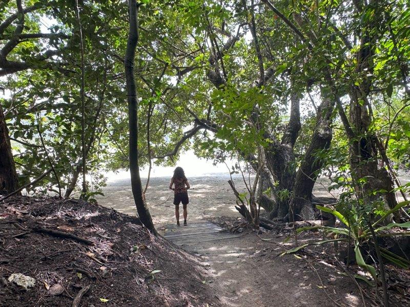
Even though the surf was inviting, these beaches are home to massive salt water crocodiles and marine stingers.
We spent a bit of time in the Daintree Rainforest. The Daintree rainforest is accessible from either Cooktown or Cairns. We loved it so much, we decided that a return trip was warranted.
The rain was rolling in and we decided to make a beeline back north to avoid a wet and slippery Bloomfield Track.
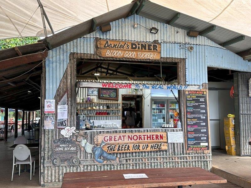
Once we were back on bitumen, we passed The Lions Den Hotel and stopped for a beer. This pub is no stranger to flooding and has been submerged in 3.2m floodwater in the past.
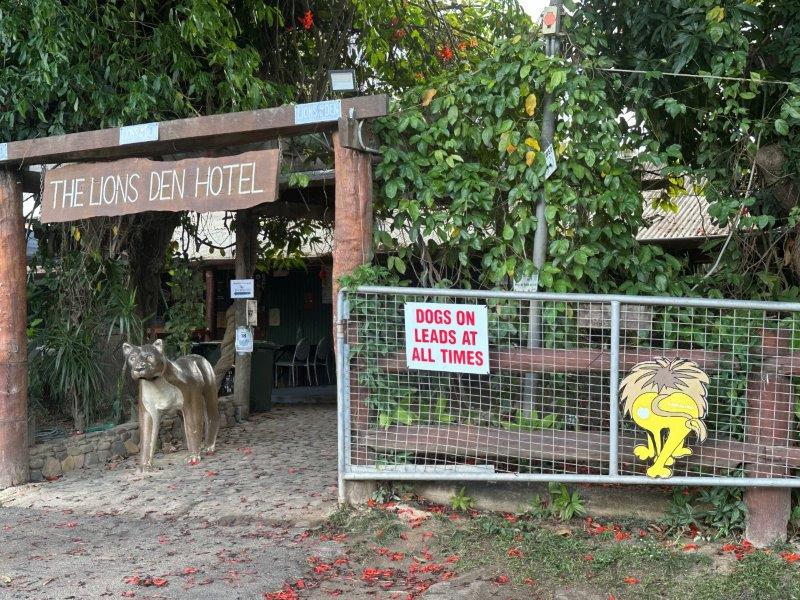
At the side is Daniel’s Diner advertising “Bloody Good Tucker!”
This concluded our trip to Cape York. Cairns was next on our list. The best road to Cairns towing a caravan, is taking the inland route over the Atherton Tablelands.