After visiting Kalgoorlie in the Goldfields we followed the Wheatbelt Way west, in the direction of Perth.
After leaving Baladjie Lake, a corrugated dirt road took us to Elachbutting Rock in the shire of Westonia. This massive rock formation in the middle of nowhere was on our list to visit and worth every kilometre of dirt road.
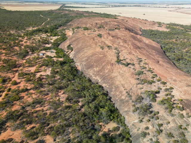
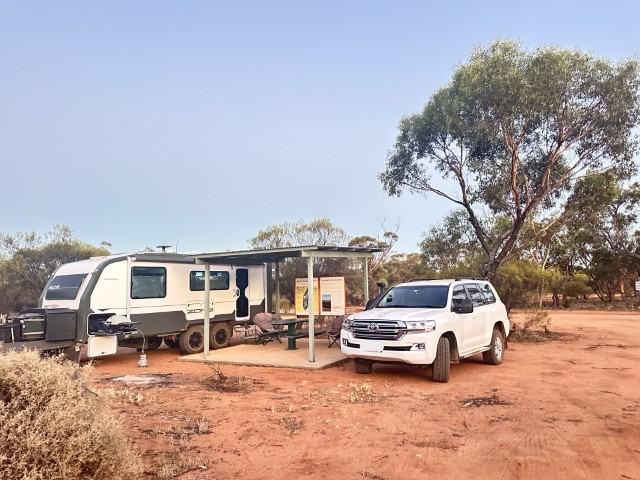
When we arrived at Elachbutting Rock campground, we had the place to ourselves. We set up adjacent to one of the covered shelters.
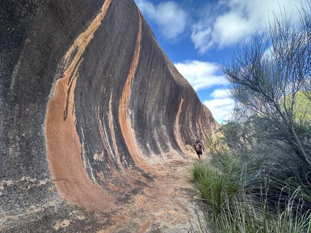
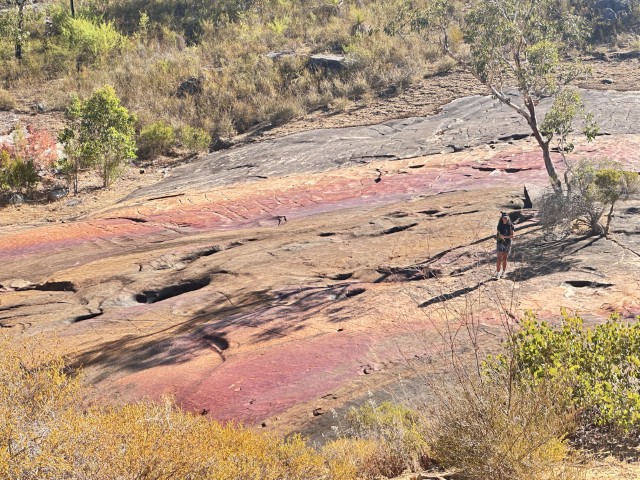
As we started walking around the rock we realised that this remote gem is underrated as it is off the beaten track. We started from Rock Wave where the colours were much more vibrant than Wave Rock, near Hayden.
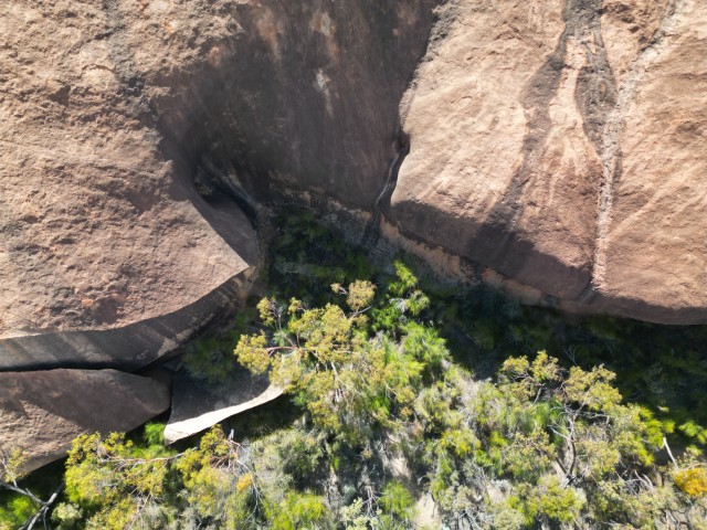
Monty’s Pass is a round hole on the rock face where water drains off during rain events.
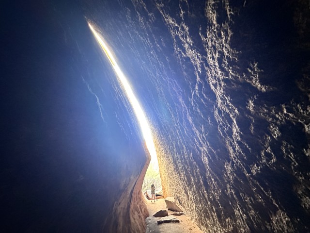
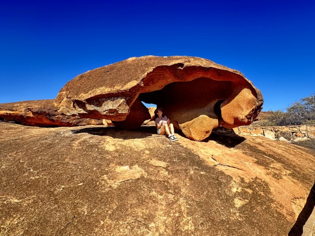
Echo Cave was created by the edge of the rock breaking off, leaving an echoing cavity you can pass through.
Rainbow Wave is another feature on the side of the rock where different minerals create vibrant colours as water runs off the side of the rock.

In addition to the 6km walking track around the rock, a 4X4 track took us to the top of the rock. From the top you can see the sun set on distant horizons.

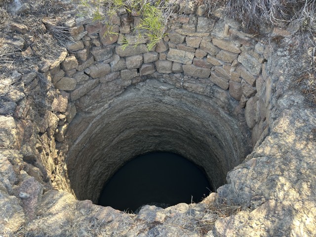
Close to the camping area we visited an old well, dug and retained by early pioneers.
After leaving Elachbutting Rock campground we went to Bonnie Rock. Established in 1932 by sandalwood cutters, building in this settlement started in 1935. Land lots were cut up and sold. Nine years later the town was vacated. Many of the blocks of land have small plaques with the owners’ names despite them never living there. Even the town’s name was fairly controversial with some calling it Bonnie Rock and others Bonny Rock. The Town Hall was moved to the school site and a busy wheat receiving centre is still operating close to town. The town offers a free campground with great amenities. We had our first encounter with a mallee fowl at this campsite.
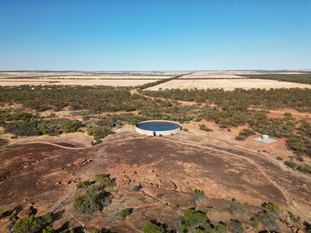
Close to Bonnie Rock is Beringbooding Rock. The top of this rock was converted for water catchment with a reservoir for the runoff.
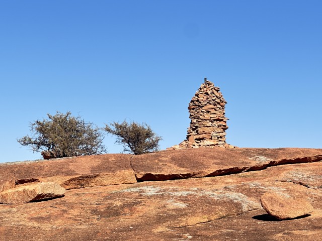
On top of Beringbooding Rock is a rock pile dubbed the cairn.
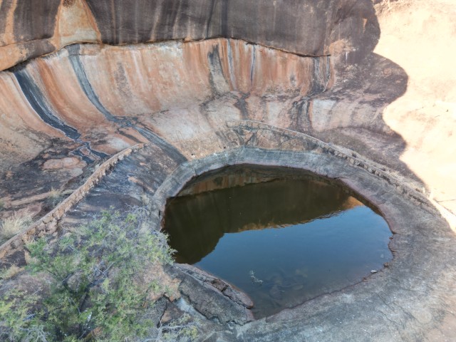
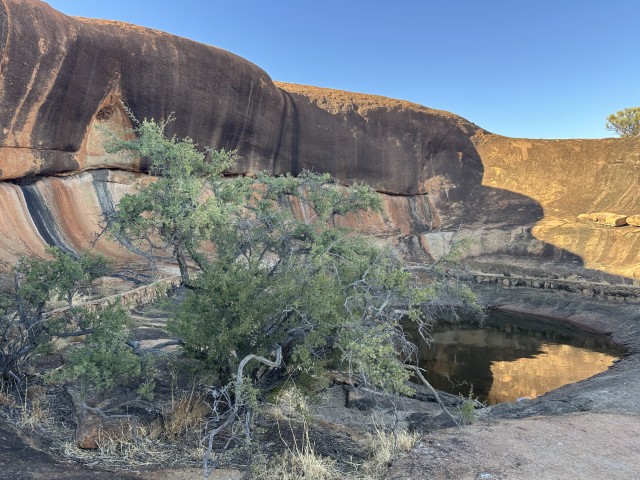
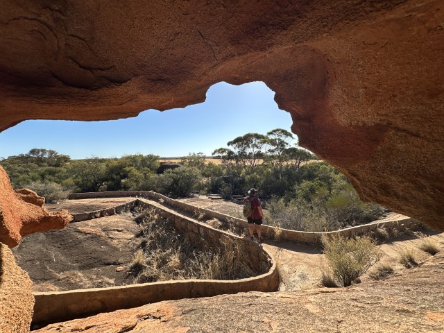
At the rear of the rock, we found the shaded kangaroo hole. This was a great spot to sit down and enjoy a drink.
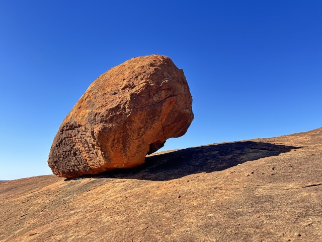
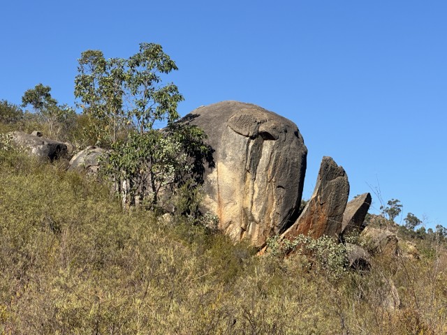
On the way back we passed a few rock features like face rock and balancing rock.
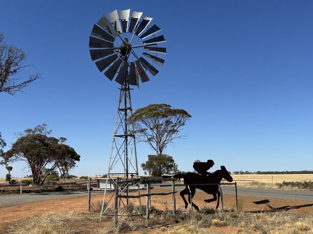
After leaving Bonnie Rock we headed to Mukinbudin. On our way we saw this mechanical wind driven racehorse. Depending on the windspeed the horse may lope, trot or bolt. This horse seemingly crossing the road is an effective way of slowing down the traffic.
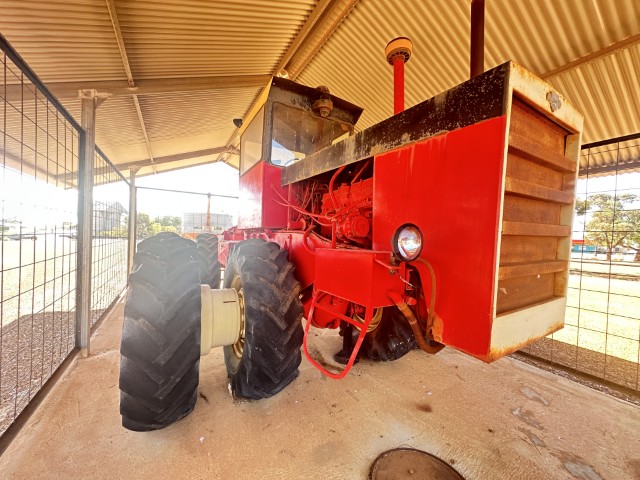
The local farmers were very resourceful. When they needed a 4×4 tractor and could not buy it, they built it.
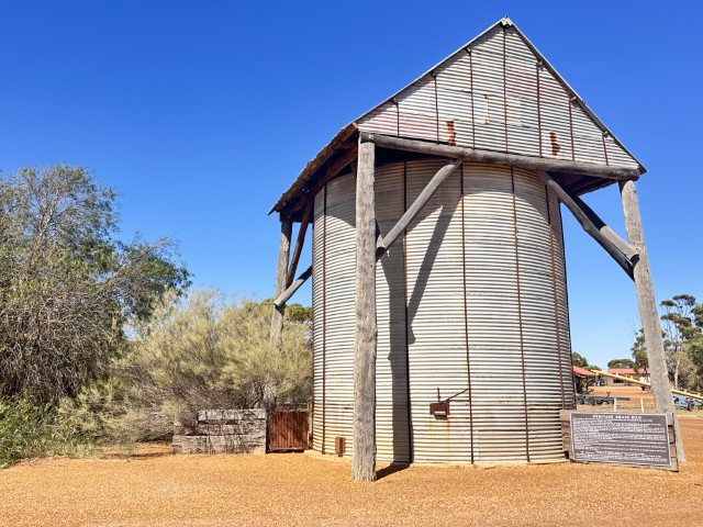
The heritage grain silo at the town’s entrance showcase early wheat storage.
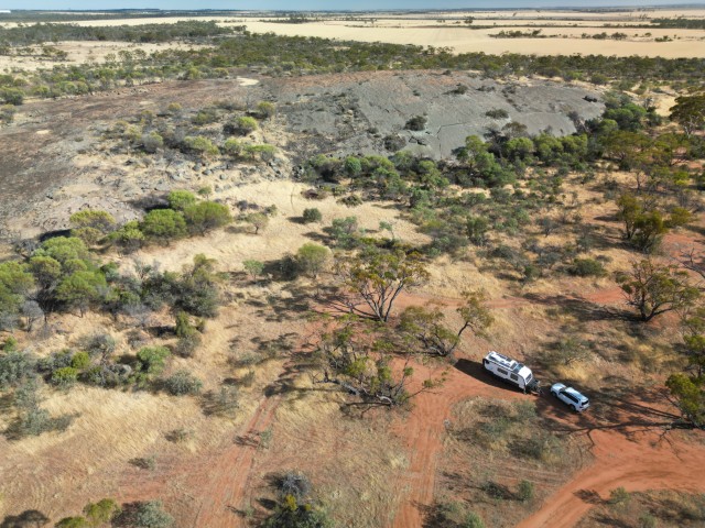
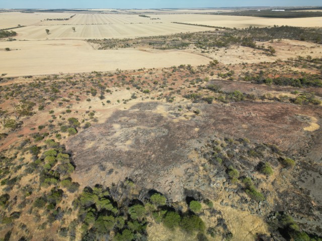
We stayed just outside of town at the Marshall Rock Reserve Camp. Driving on top of the rock provides a 360 degree view as far as Lake McDermott.
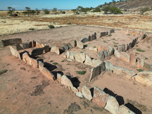
Pergandes Sheepyards is a short drive from Marshall Rock. This station takes you back to early farming days where hand cut granite slabs were used to create sheep yards.
Bencubbin is another small town close to Marshall Rock. The main street has the original town generator on display that powered the town between 1950 and 1968. We also past a few murals in our search for an open restaurant.
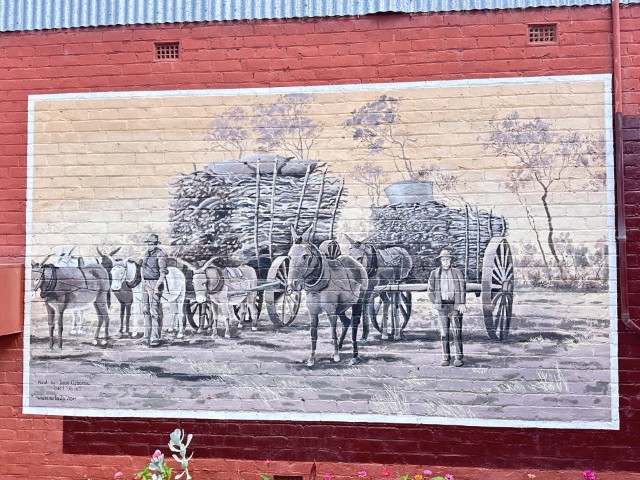
The sandalwood history of the area is depicted in this mural by Irene Osborne.
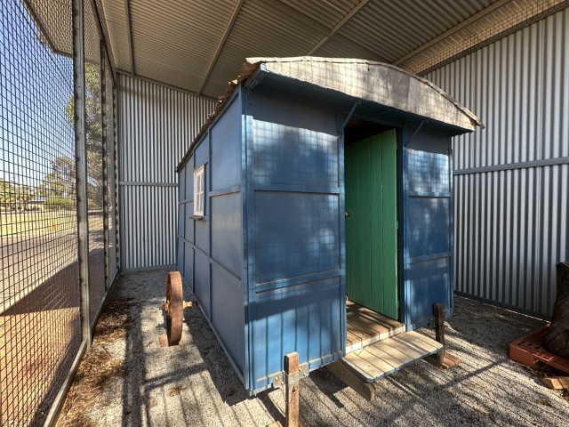
After leaving the Marshall Rock area, we filled up our water tanks at Kununoppin. Next to the fill point was Alan Rance’s caravan on display. This was one of the first caravans to be registered on Western Australian roads in 1930.
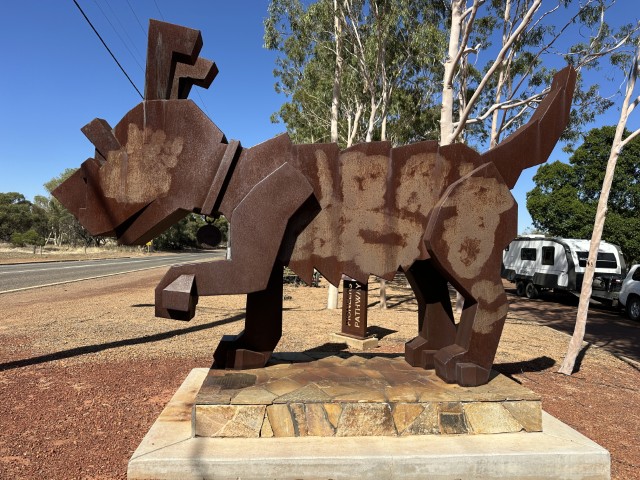
From Kununoppin we passed through Dowerin where we stopped at Rusty the Big Tin Dog.
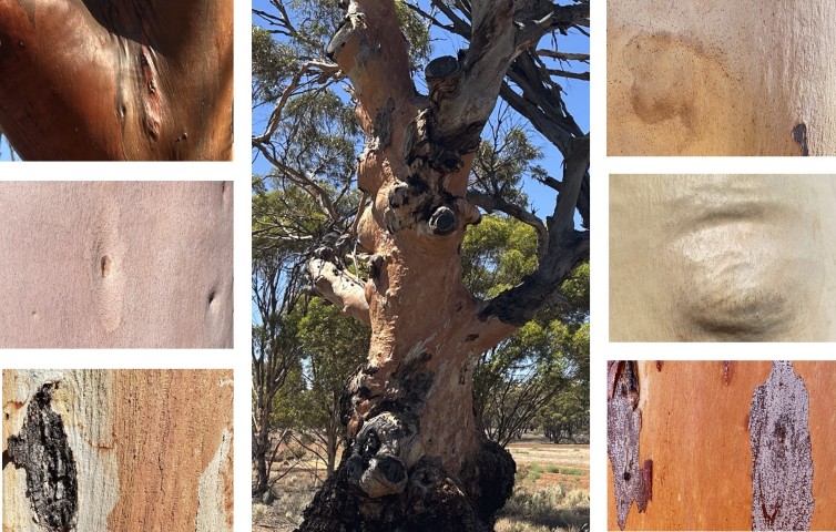
The colours of the tree trunks along this part of the Wheatbelt were unexpected. Many seems to be the same type of trees with distinctly different colouring.
Our next stop was the small town of Wundowie. Wundowie is best known as a post Word War II charcoal iron plant and refinery. This plant was the first of its kind in Western Australia. The town was designed on the garden city design principles with semi-circular roads.
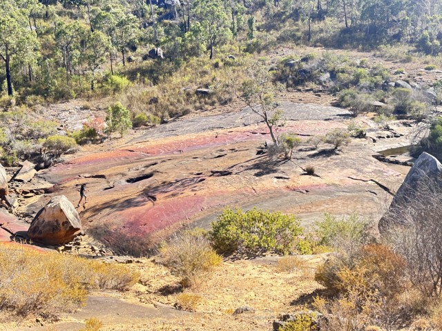
From Wundowie we did a daytrip to Gidgegannup to visit the Berry Reserve. The rock in this creek bed has a enamel-like top with vibrant colours. These smooth rocks are very popular in the rain season with visitor sliding down it.
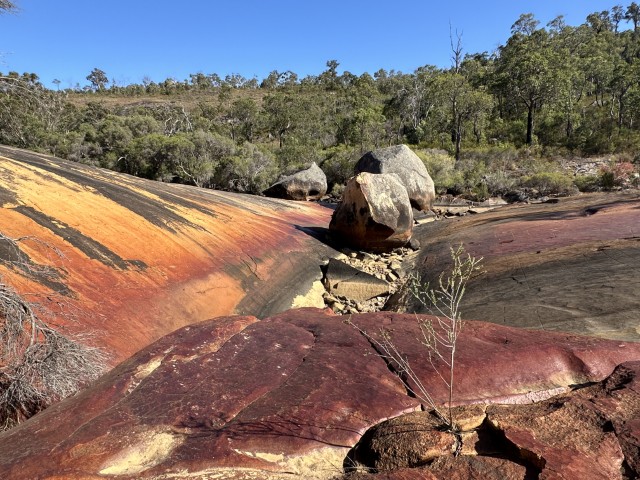
On the sides of Wooroloo Brook are a few interesting rock formations. This was a track worth walking.
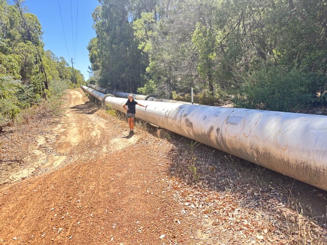
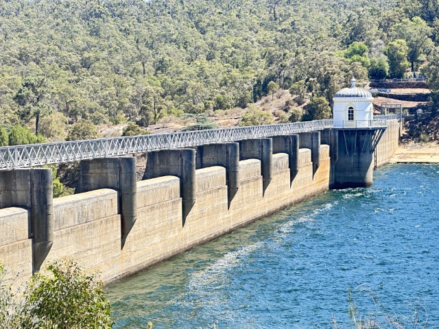
We also did a daytrip to Mundaring where the Goldfields Water Supply Scheme Pipeline starts. We were keen to see the start of the 566km pipeline linking Perth and Kalgoorlie, engineered by C Y O’Conner. The pipes start at Mundaring Weir pump station.
The No. 1 Pump Station at Mundaring Weir is where it all starts. The first of 8 steam pumping stations to get water into the Goldfields.
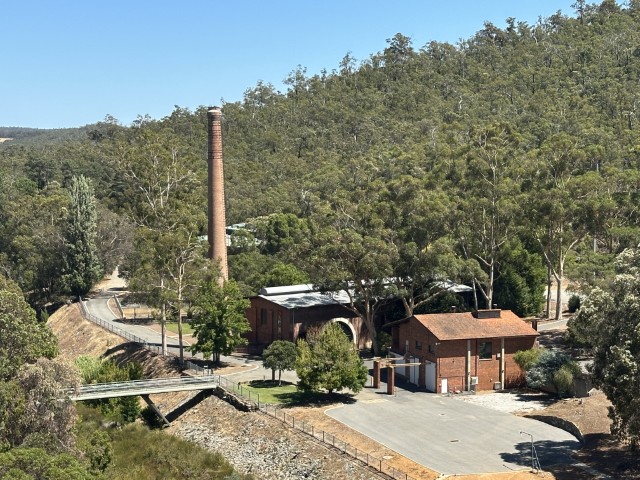
It was difficult to believe Mundaring Weir has sufficient water to support the Goldfields.
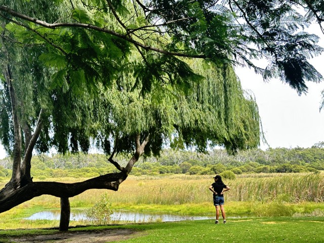
Our next camp was Henry White Oval Campground in Yanchep National Park.
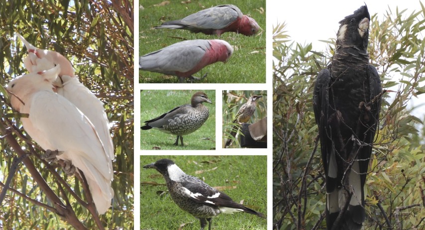
The birdlife in the park was exceptional. We even had a blue Splendid Fairy Wren at our campsite. We did take a few photos of it but none were in focus. It was way to fast for us.
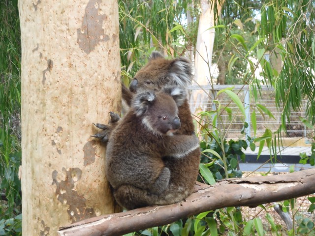
The park also has a koala enclosure. Joey Djilba was born at Yanchep National Park and is a clear favourite with visitors.
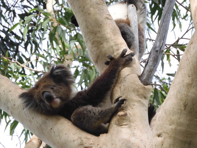
Doe Miffy and joey Djilba came down for a feed, entertaining bystanders.
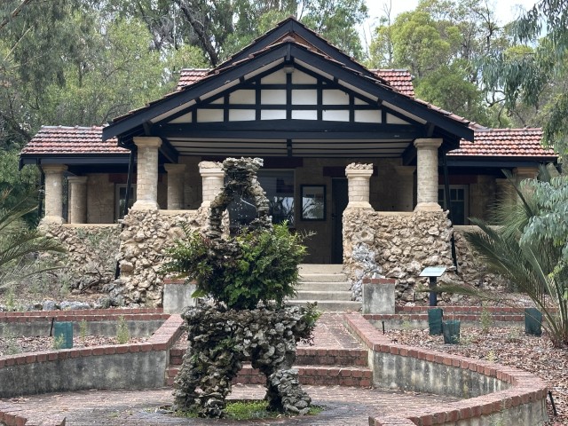
Yanchep National Park has a few older style buildings wrapped by green grassy picnic areas.
There are a few walking trails in the park. We did the Dwerta Mia walking trail, visiting the cave.
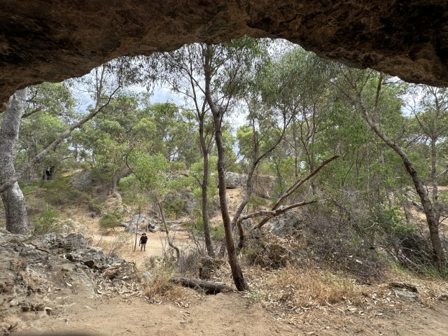
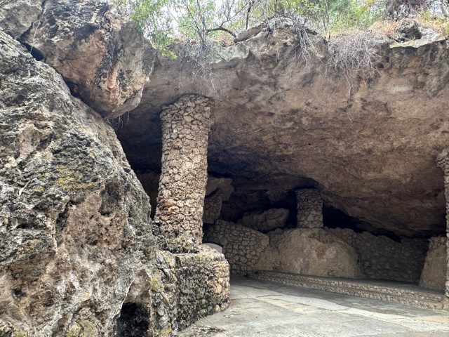
A small walking trail takes you to another cave, Cabaret Cave.
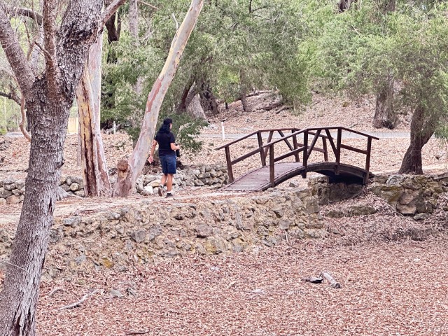
Cabaret Cave in Yanchep National Park is often used for functions. It is the largest cave we have seen in the park.
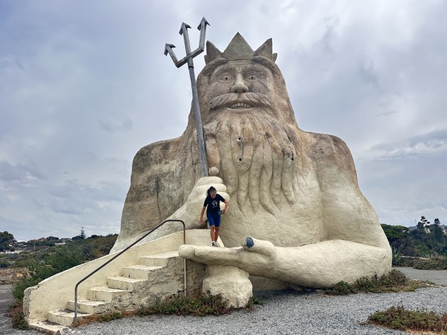
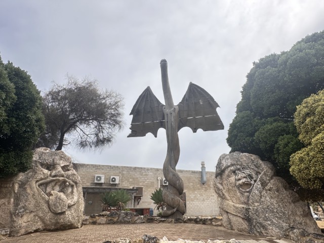
We did a separate daytrip to Two Rocks. Two Rocks was home to the failed business venture, Atlantis Waterpark. The remanence of the park is evident in the town starting with the big one, the King Neptune sculpture.
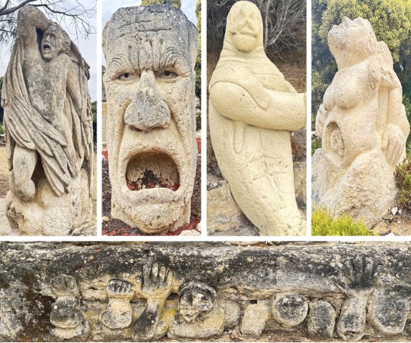
You cannot miss the sculptures walking through town. From famous faces to fantasy characters.
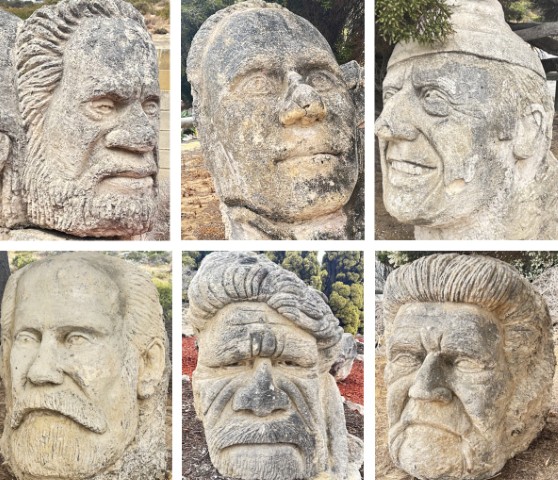
There are also a few weird ones…
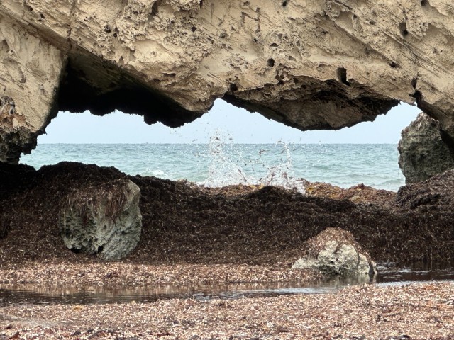
A quick walk on the Two Rocks beach, took us to Blow Hole Cave.
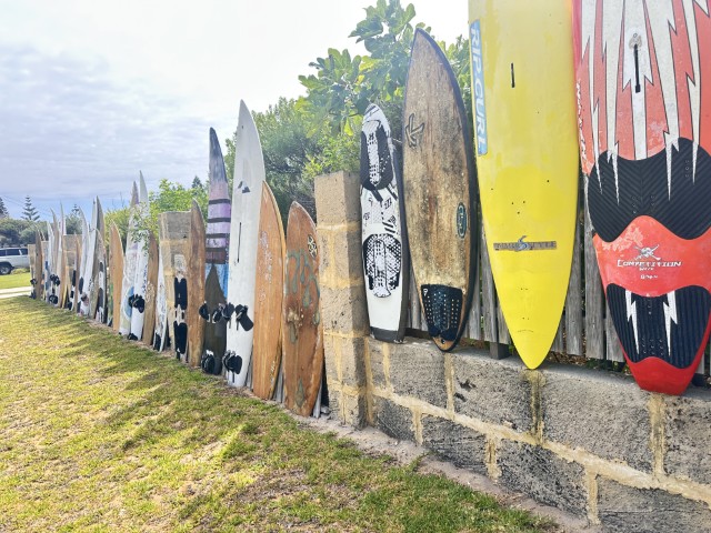
On the way back we passed the surfboard fence in Lancelin.
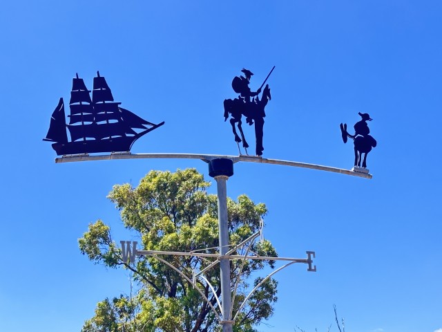
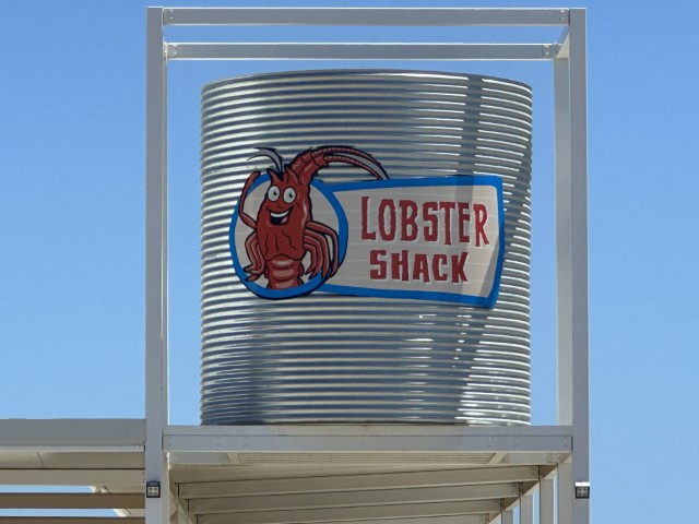
We continued heading north on the Western Australian Coast to Cervantes. Cervantes is best known for the pinnacles, the stromatolites, the shipwreck and the Lobster Shack. We intended to visit all four.
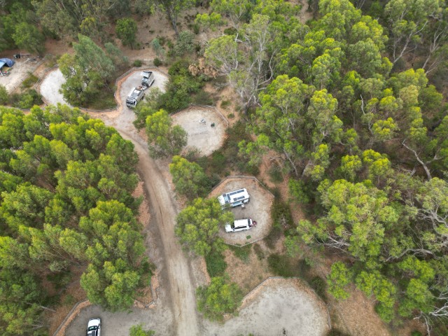
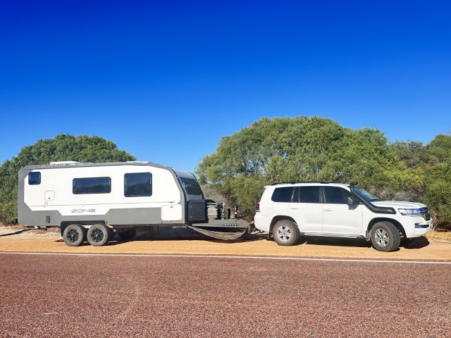
Close to Cervantes is a road stop we called home for a few days.
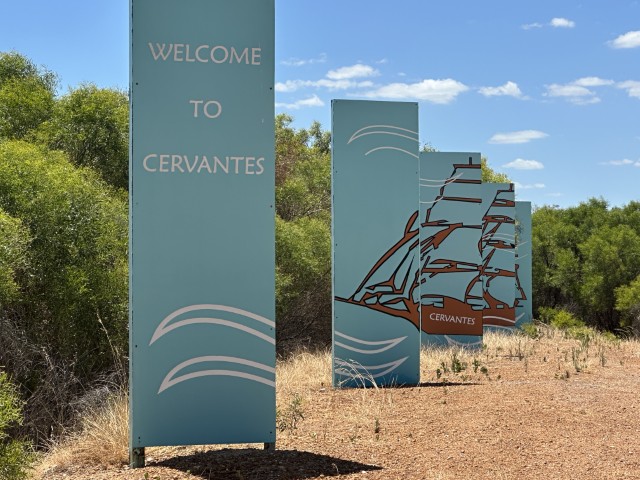
The entrance to Cervantes and signs depict some of the historic ships that ran ashore in this area.
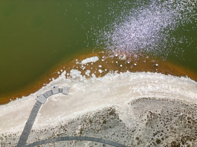
On the way in we stopped at Lake Thetis to see the stromatolites.
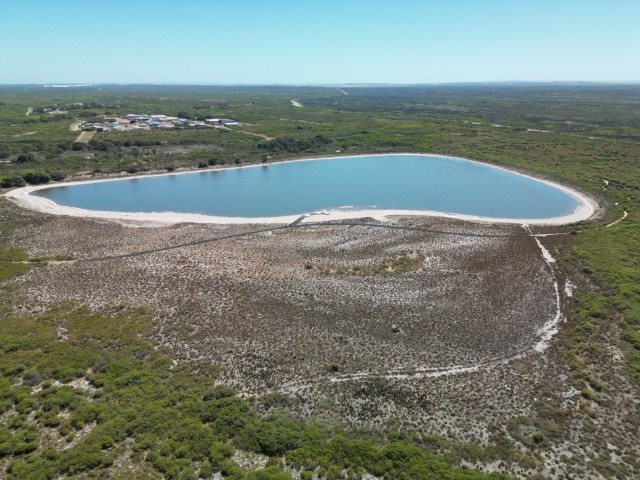
A great boardwalk takes you right to the stromatolites.
We did a quick stop at Hansen Bay lookout providing great views over the bay where the Cervantes whaling ship sank in 1844.
The Lobster Shack is very popular with travellers and overseas tourists with busloads arriving around lunchtime.
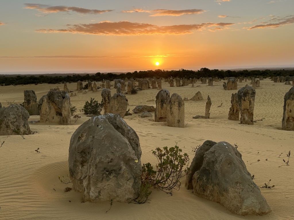
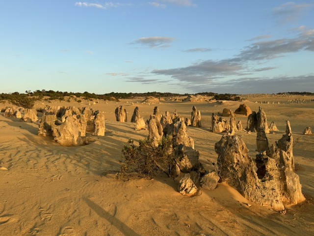
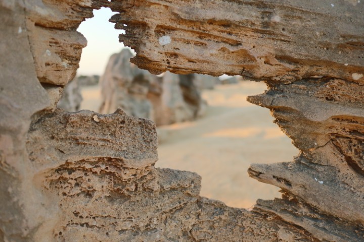
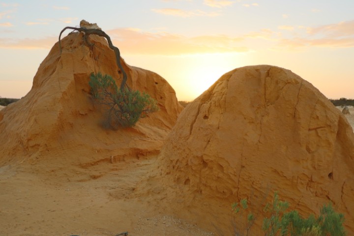
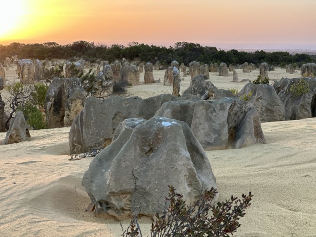
We also visited the Pinnacles Desert twice. You could spend days walking and photographing the desert.
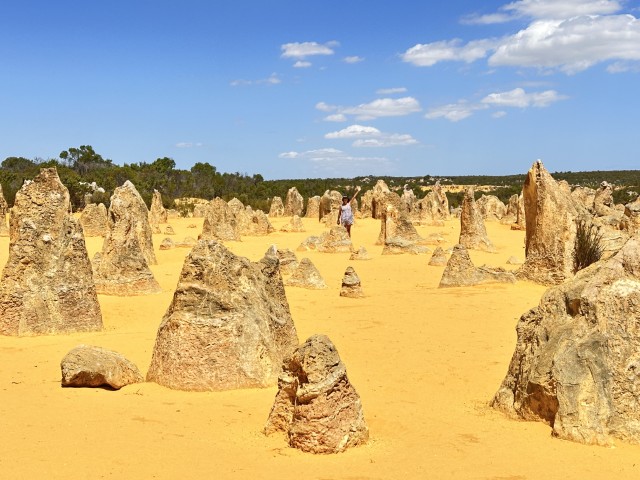
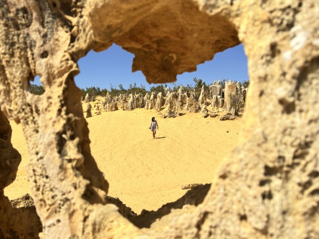
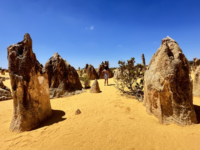
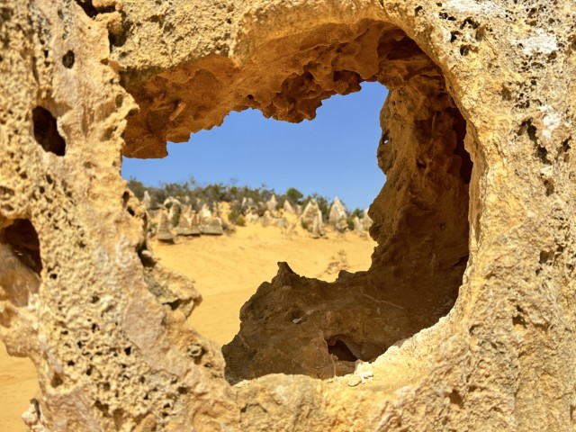
We went back to the Pinnacles Desert in the afternoon as it provides a completely different perspective.
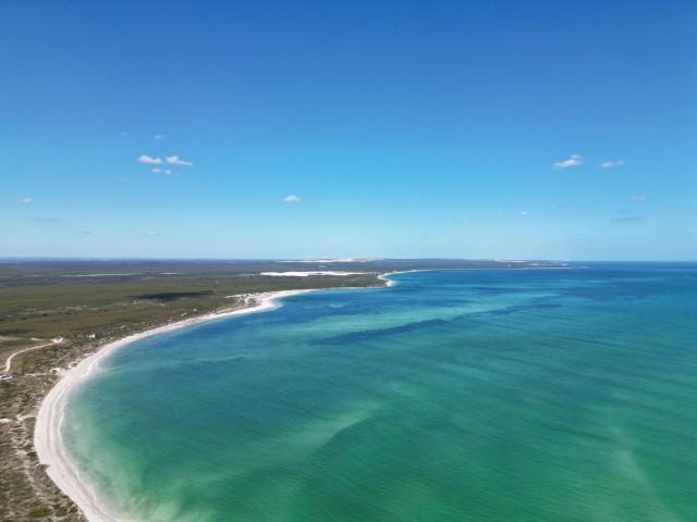
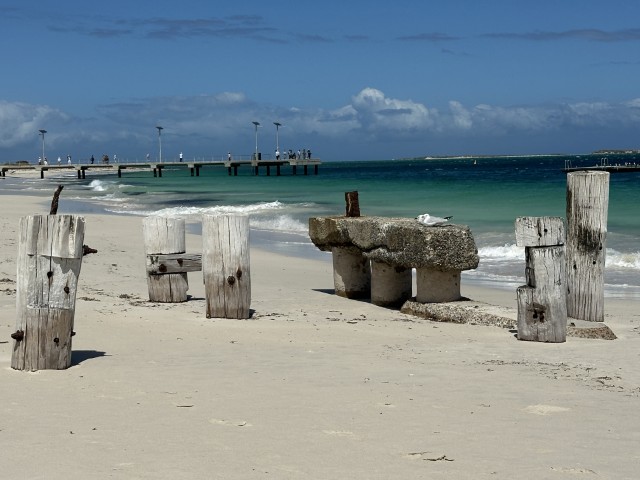
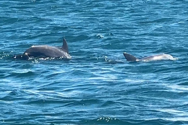
Further north we camped at Wandoo Reserve close to Jurien Bay. The old and new jetty at Jurien Bay attracted a crowd with dolphins playing around the jetty.
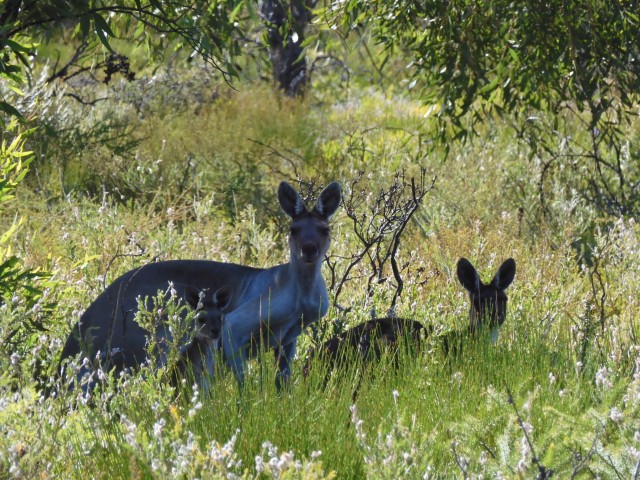
Lesueur National Park was close to our camp and what a pleasant surprise this was. A sealed road through the park takes you to all the great spots.
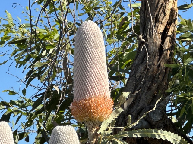
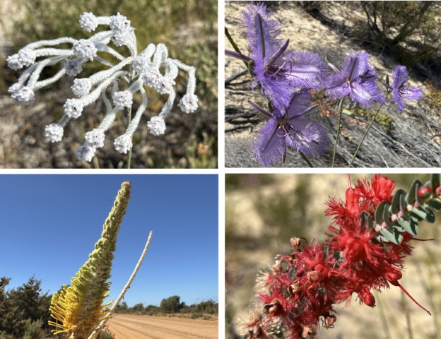
There were even a few flowers along the way.
We were excited for our next destination, Shark Bay.